MyTopo
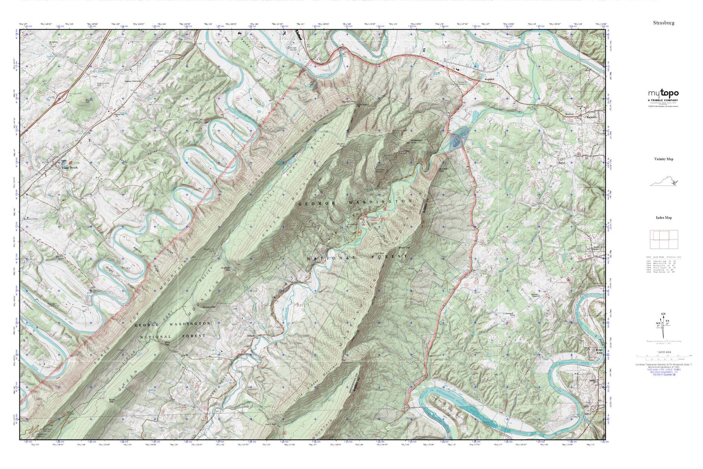
Strasburg MyTopo Explorer Series Map
Couldn't load pickup availability
Topographic map of Strasburg in the state of Virginia. From the MyTopo Explorer Series.
This topo map features shaded relief and comes with UTM / MGRS and Latitude/Longitude grids.
For more than two decades, MyTopo has provided maps to the most adventurous among us.. those who love to explore our nation’s remote wilderness areas, climb our highest peaks, and trek across our vast public lands. This map is part of a curated collection of the most popular places for which MyTopo customers have designed maps. It is a “bucket list” of the most amazing places to hike, hunt, and explore.
This map contains the following named places: 22660,Bear Wallow Trail,Blue Hole,Boyer Gap,Burkes Tree Farm,Buzzard Rock,Buzzard Rock Overlook,Cox Ridge,Dilbeck,Doll Ridge,Duncan Gap,Elizabeth Furnace,Elizabeth Furnace Recreational Area,Fairhaven,Fork District,Fort Valley,Fort Valley Overlook,Fortsmouth Volunteer Fire Department,High Peak,Jordan Run,Little Crease Mountain,Little Fort Valley,Little Passage Creek,Little Passage Trail,Meneka Peak,Mill Run,Mine Gap,Mine Run,Mudhole Gap,Otterburn School,Panorama Memorial Gardens,Passage Creek for Trail,Pelton,Posey Hollow,Powells Fort Camp,Rhodes Ridge,Richardson Cemetery,Richardson Knob,Rittenour Ridge,River Bend Airport,Round Hill,Round Hill Church,Royal View Estates,Shawl Gap,Shawl Gap Trail,Shenandoah Valley Overlook,Signal Knob,Signal Knob Trail,Skyline Ranch Resort,Strasburg Dam,Strasburg Reservoir,The Church of Waterlick,The Point,Three Top Mountain,Toms Brook,Toms Brook Post Office,Toms Brook Volunteer Fire Department,Town of Toms Brook,Virginia Fish Cultural Station,Wakeman Mill,Waterlick,Wright Ridge,Zion Cemetery,Zion Church


