MyTopo
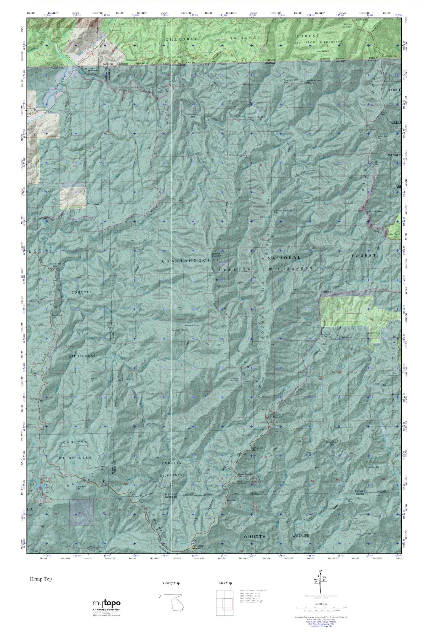
Cohutta Wilderness MyTopo Explorer Series Map
Couldn't load pickup availability
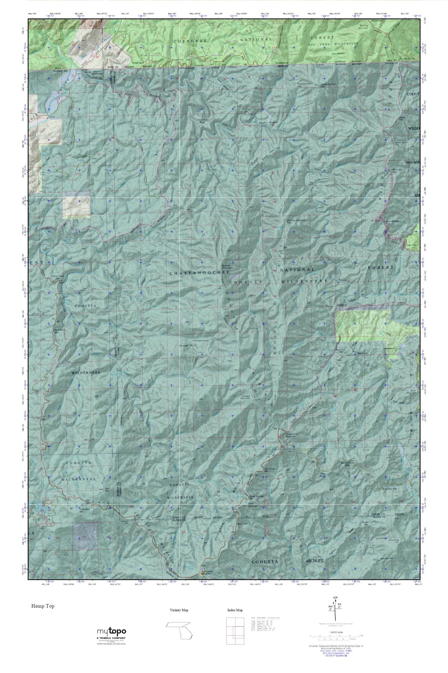
Topographic map of Cohutta Wilderness in the states of Georgia, Tennessee. From the MyTopo Explorer Series.
This topo map features shaded relief and comes with UTM / MGRS and Latitude/Longitude grids.
For more than two decades, MyTopo has provided maps to the most adventurous among us.. those who love to explore our nation’s remote wilderness areas, climb our highest peaks, and trek across our vast public lands. This map is part of a curated collection of the most popular places for which MyTopo customers have designed maps. It is a “bucket list” of the most amazing places to hike, hunt, and explore.
This map contains the following named places: 30541,Alaculsy,Alaculsy Valley,Bald Mountain,Bear Branch,Bear Wallow,Bee Knob Gap,Beech Bottom,Beech Bottom Trail,Beech Creek,Bethlehem Church,Betty Gap,Betty Mountain,Birch Creek,Buckeye Mountain,Buddy Cove Gap,Chestnut Creek,Chestnut Lead,Chicken Coop Gap,Cohutta Mountain,Cohutta Wilderness,Cohutta Wildlife Management Area,Conasauga Creek,Conasauga River Trail,Cowpen Creek,Cowpen Mountain,Crenshaw Gap,Crooked Dogwood Gap,East Cowpen Trail,East Fork Beach Creek,East Fork Beech Creek,Foster Branch,Graham Branch,Gryder Camp Trail,Hickory Creek Trail,Hickory Ridge,Hickory Ridge Trail,Horse Branch,Horseshoe Bend,Horseshoe Bend Trail,Hurricane Branch,Jacks River,Jacks River Trail,Jones Cemetery,Jones Mill,Ken Mountain,Little Bald Mountain,Lost Branch,Lost Cove Branch,Mill Branch,Murray Creek,North Fork Thomas Creek,Paint Bank Gap,Panther Bluff,Panther Creek,Panther Creek Trail,Penitentiary Branch,Penitentiary Branch Trail,Peter Cove,Phillips Cove,Poplar Camp Creek,Poplar Springs Branch,Poplar Springs Gap,Potatopatch Creek,Pounding Mill Branch,Pounding Mill Gap,Rice Camp Branch,Rice Camp Trail,Rich Cove,Rich Knob,Rockwall Branch,Rockwall Gap,Rough Creek,Rough Ridge,Rough Ridge Trail,Sam Jones Gap,Sheeds Creek,Simmons Branch,Simmons Gap,South Fork Jacks River,South Fork Trail,Spanish Oak Gap,Stink Creek,Sugar Cove Branch,Sugar Cove Trail,Taylor Branch,Tearbritches Creek,Thomas Creek,Three Forks Mountain,Turkey Stand Lead,Van Arthur Lead,Wagon Road Ridge,West Fork Beech Creek,West Fork Jacks River,Wilson Branch,Wilson Gap,Yellow Lead


