MyTopo
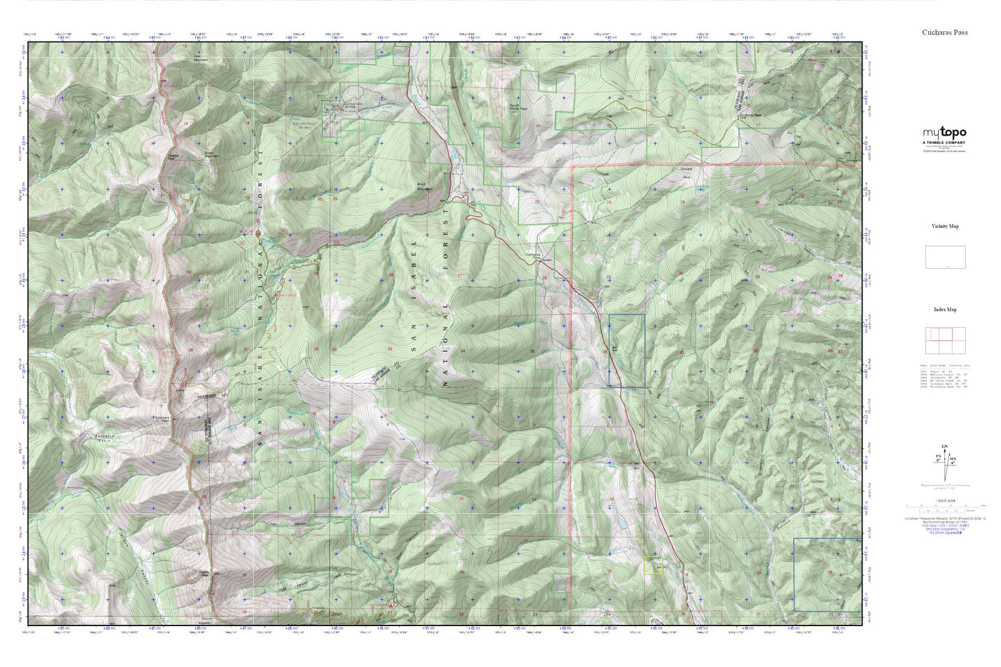
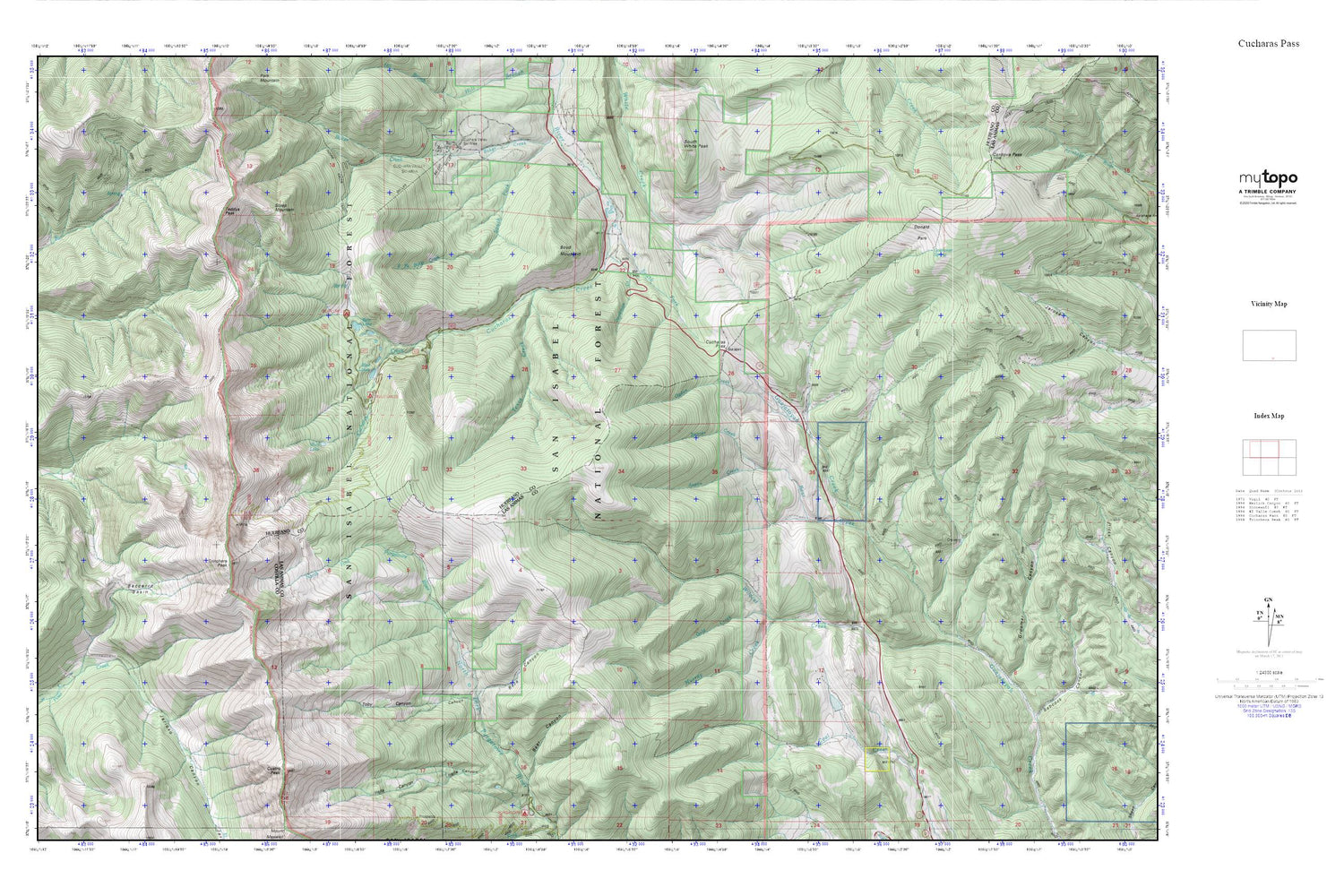
Cucharas Pass MyTopo Explorer Series Map
Couldn't load pickup availability
Topographic map of Cucharas Pass in the state of Colorado. From the MyTopo Explorer Series.
This topo map features shaded relief and comes with UTM / MGRS and Latitude/Longitude grids.
For more than two decades, MyTopo has provided maps to the most adventurous among us.. those who love to explore our nation’s remote wilderness areas, climb our highest peaks, and trek across our vast public lands. This map is part of a curated collection of the most popular places for which MyTopo customers have designed maps. It is a “bucket list” of the most amazing places to hike, hunt, and explore.
This map contains the following named places: Aspen Creek,Baca Canyon,Bear Canyon,Bear Creek,Bear Lake,Bear Lake Campground,Beaver Creek,Beccerro Basin,Blue Lakes,Blue Lakes Campground,Boyd Mountain,Cordova Pass,Cuatro Peak,Cuchara Campground,Cuchara Valley Ski Area,Cucharas Creek,Cucharas Pass,Deadman Creek,Donald Park,Goemmer Spring,Gold Creek,Groomer Canyon,Hells Canyon,Jarioso Canyon,Murray Creek,Murry Creek,Ogden Creek,Parsons Cow Camp,South Fork Cucharas River,South White Peak,Steep Mountain,Stonewall Fire Protection District Cucharas Pass Ranch Station,Teddys Peak,Texas Creek,Toby Canyon,Trinchera Peak,Wildcat Creek,Wolf Lake