MyTopo
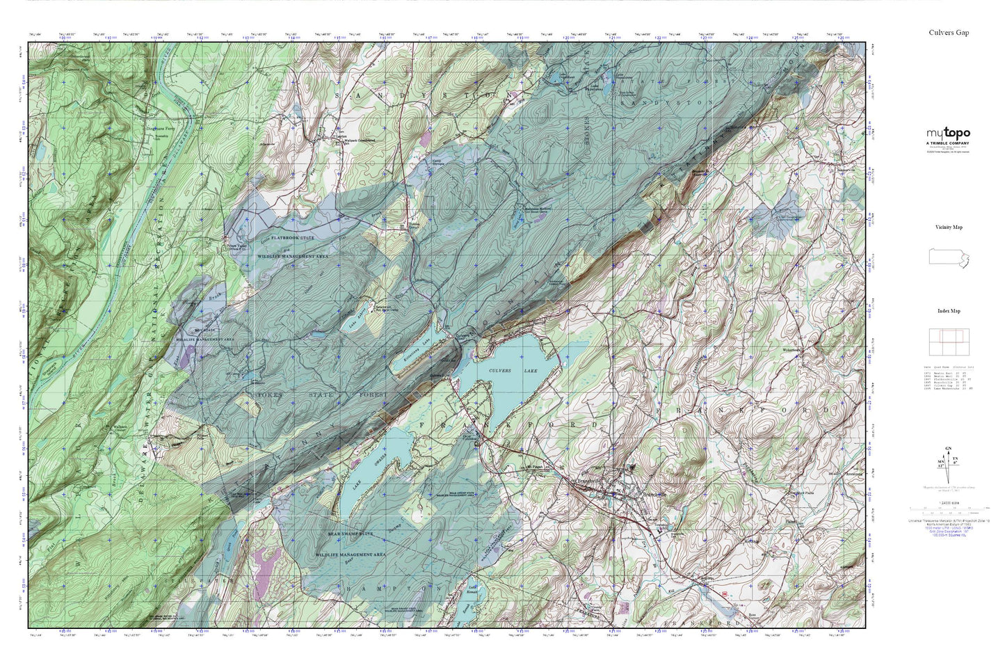
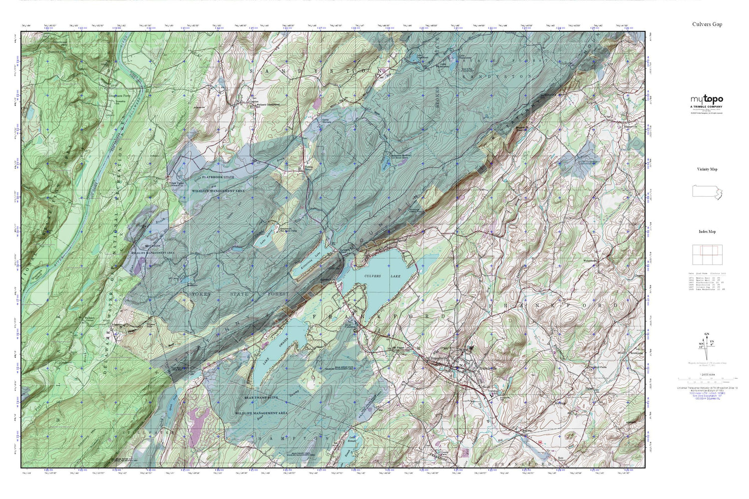
Culvers Gap MyTopo Explorer Series Map
Couldn't load pickup availability
Topographic map of Culvers Gap in the states of New Jersey, Pennsylvania. From the MyTopo Explorer Series.
This topo map features shaded relief and comes with UTM / MGRS and Latitude/Longitude grids.
For more than two decades, MyTopo has provided maps to the most adventurous among us.. those who love to explore our nation’s remote wilderness areas, climb our highest peaks, and trek across our vast public lands. This map is part of a curated collection of the most popular places for which MyTopo customers have designed maps. It is a “bucket list” of the most amazing places to hike, hunt, and explore.
This map contains the following named places: 07826,Augusta,Bear Swamp,Bevans,Big Flat Brook,Big Muckshaw Pond,Blue Ridge Rescue Squad,Borough of Branchville,Branchville,Branchville Cemetery,Branchville Hose Company 1,Branchville Post Office,Branchville Reservoir,Branchville Reservoir Dam,Camp Columbus,Camp Olympia,Crandon Lakes,Culvers Creek,Culvers Gap,Culvers Inlet,Culvers Lake,Culvers Lake Dam,Dingmans Ferry,Dry Brook,Flatbrook Fish and Wildlife Management Area,Frankford Township Fire Department Station 1,Hampton Township Fire and Rescue Station 2,Hornbecks Creek,Kittatinny Lake,Kittatinny Lake Dam,Lake Ashroe,Lake Ashroe Dam,Lake Owassa,Lake Owassa Dam,Lake Robert Rooke,Lake Robert Rooke Dam,Lake Shawanni,Layton,Layton Cemetery,Layton Census Designated Place,Layton Post Office,Little Flat Brook,Madeleine Mulford Girl Scout Camp,Mecca Lake,Mosefund Farm,Mount Pisgah,National Park Service - Digmans Ferry Fire Department,Normanook,Normanook Lookout Tower,Northrup,Quick Pond,Quick Pond Dam,Rattlesnake Mountain,Sakawawin Boy Scout Camp,Sandyston Volunteer Fire Department Station 2,Shapanack Island,Stokes State Forest,Stony Brook,Stony Lake,Stony Lake Dam,Sunrise Mountain,Tillman Brook,Tillman Falls,Township of Frankford,Township of Sandyston,Tuttles Corner,Wallpack Cemetery,Wallpack Center,Wallpack Consolidated School,WNNJ-FM (Newton)


