MyTopo
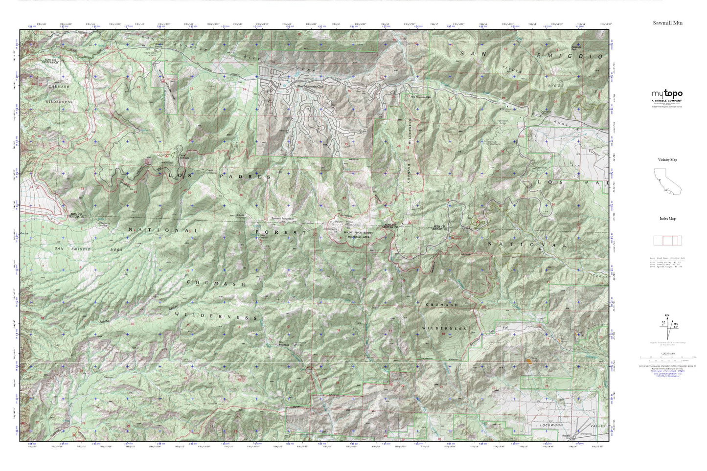
Sawmill Mtn MyTopo Explorer Series Map
Couldn't load pickup availability
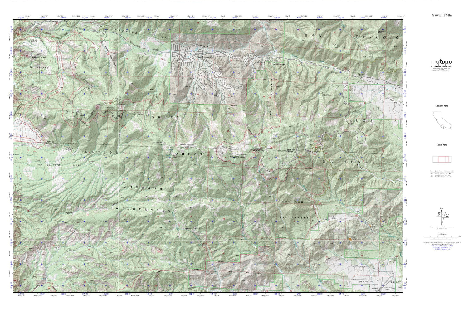
Topographic map of Sawmill Mtn in the state of California. From the MyTopo Explorer Series.
This topo map features shaded relief and comes with UTM / MGRS and Latitude/Longitude grids.
For more than two decades, MyTopo has provided maps to the most adventurous among us.. those who love to explore our nation’s remote wilderness areas, climb our highest peaks, and trek across our vast public lands. This map is part of a curated collection of the most popular places for which MyTopo customers have designed maps. It is a “bucket list” of the most amazing places to hike, hunt, and explore.
This map contains the following named places: 93222,Bethany Pines Campground,Camp Alto Campground,Camp Condor,Camp Trefoil Boy Scout Camp,Campo Alto Campground,Cerro Noroeste,Chula Vista Campground,Chumash Wilderness,Condor Observation Site,Condor Observation Tower,El Camino Pines Campground,Frazier Mine,Frontier Pines Campground,Grouse Mountain,Happy Gulch Campground,Kern County Fire Department Station 58 - Pine Mountain Club,Lilly Meadows,Lily Meadows Campground,McGill Campground,Mesa Spring,Mesa Spring Campground,Mil Potrero Organization Campground,Mil Potrero Park,Mill Potrero,Mount Pines,Mount Pinos,Mount Pinos Camp,Mount Pinos Campground,Pine Mountain Club,Pine Mountain Club Census Designated Place,Pine Mountain Club Golf Course,Puerta del Suelo,Saint Nichalos Campground,San Emigdio Girl Scout Camp,San Emigdio Mesa,Sawmill Mountain,Seymour Sage Flat,Sheep Camp,Sheep Campground,Tecuya Campground,Westside Mountain Park


