MyTopo
Monache Mountain MyTopo Explorer Series Map
Couldn't load pickup availability
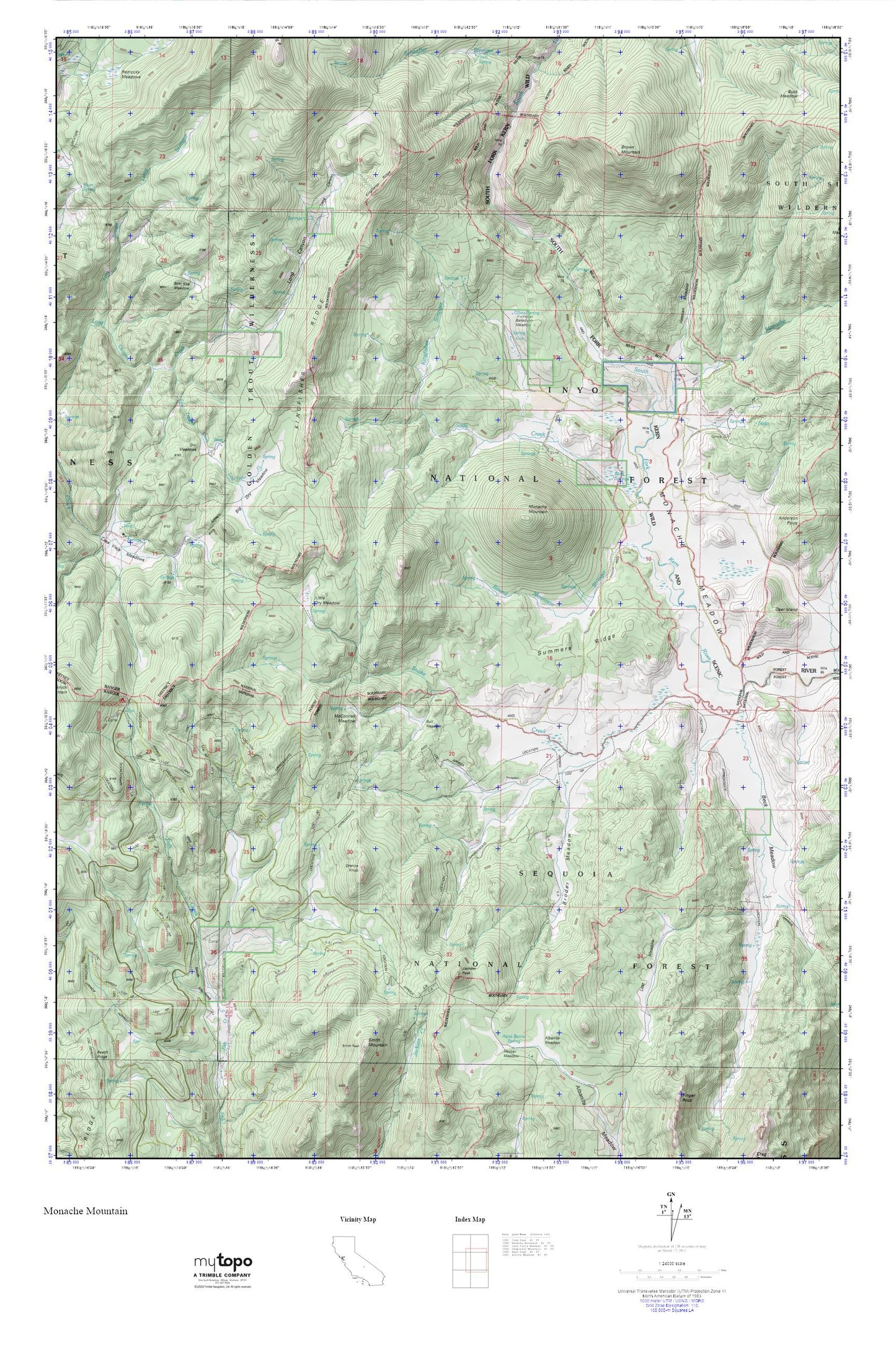
Topographic map of Monache Mountain in the state of California. From the MyTopo Explorer Series.
This topo map features shaded relief and comes with UTM / MGRS and Latitude/Longitude grids.
For more than two decades, MyTopo has provided maps to the most adventurous among us.. those who love to explore our nation’s remote wilderness areas, climb our highest peaks, and trek across our vast public lands. This map is part of a curated collection of the most popular places for which MyTopo customers have designed maps. It is a “bucket list” of the most amazing places to hike, hunt, and explore.
This map contains the following named places: Anderson Point,Bakeoven Meadow,Beck Meadow,Beer Keg Meadow,Big Dry Meadow,Bog Hole Meadow,Boggys Pass,Broder Meadow,Brown Mountain,Bull Meadow,Casa Vieja Meadows,Casa Vieja Meadows Forest Service Facility,Deer Island,Dry Meadows,Granite Knob,Hessian Meadow,Jackass Peak,Kingfisher Ridge,Kingfisher Stringer,Little Dry Meadow,Long Canyon,Lost Meadow,Lost Trout Creek,McConnell Meadow,Monache Cow Camps,Monache Creek,Monache Meadow,Monache Mountain,Monache Station,Olivas Spring,Powell Meadow,Redrocks Meadows,Round Mountain Stringer,Silas Reynolds Meadow,Smith Meadows,Snake Creek,Soda Creek,Soda Springs,Summers Ridge