MyTopo
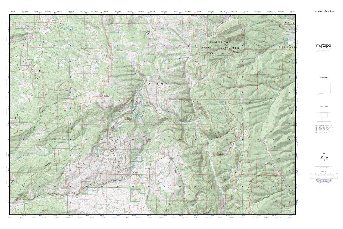
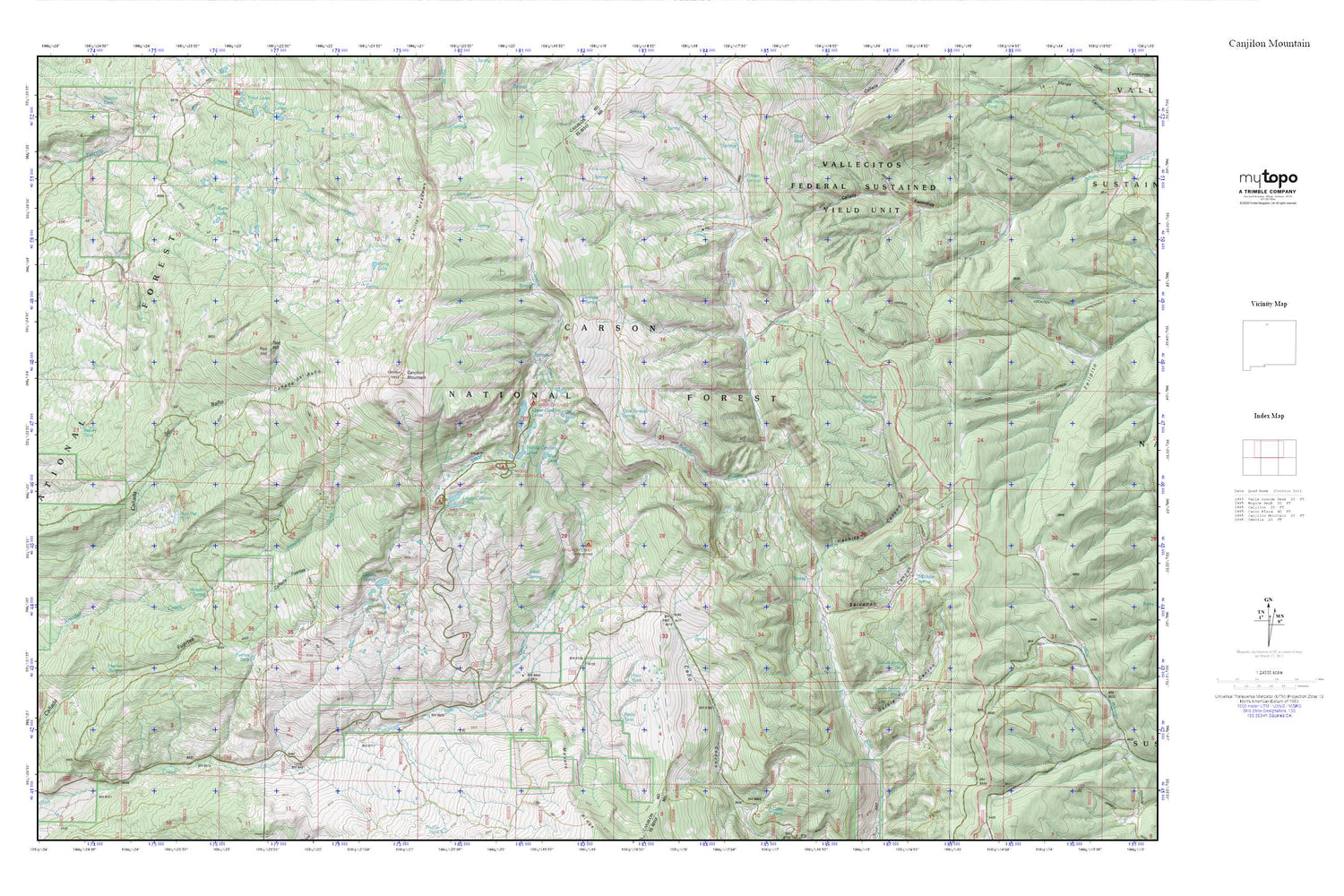
Canjilon Mountain MyTopo Explorer Series Map
Couldn't load pickup availability
Topographic map of Canjilon Mountain in the state of New Mexico. From the MyTopo Explorer Series.
This topo map features shaded relief and comes with UTM / MGRS and Latitude/Longitude grids.
For more than two decades, MyTopo has provided maps to the most adventurous among us.. those who love to explore our nation’s remote wilderness areas, climb our highest peaks, and trek across our vast public lands. This map is part of a curated collection of the most popular places for which MyTopo customers have designed maps. It is a “bucket list” of the most amazing places to hike, hunt, and explore.
This map contains the following named places: Alkali Spring,Amador Spring,Beaver Tank,Blue Lake,Burns Lake,Canada de Chacon,Canjilon Creek Campground,Canjilon Creek Forest Camp,Canjilon Lakes,Canjilon Meadows,Canjilon Mountain,Canovas Spring,Cold Lake,Fifteen Springs,Fuertes Spring,Fuertes Tank,Gurule Canyon,Gurule Spring Number One,Gurule Spring Number Two,Hachita Canyon,Laguna Honda,Lower Canjilon Lakes,Lower Canjilon Lakes Campground,Middle Canjilon Campground,Middle Canjilon Lakes,Ojito Jarosito,Patito Tank,Pato Tank,Red Hill,Salvador Canyon,Salvador Spring,Upper Canjilon Lakes,Upper Canjilon Lakes Picnic Area,Vega Paz Tank