MyTopo
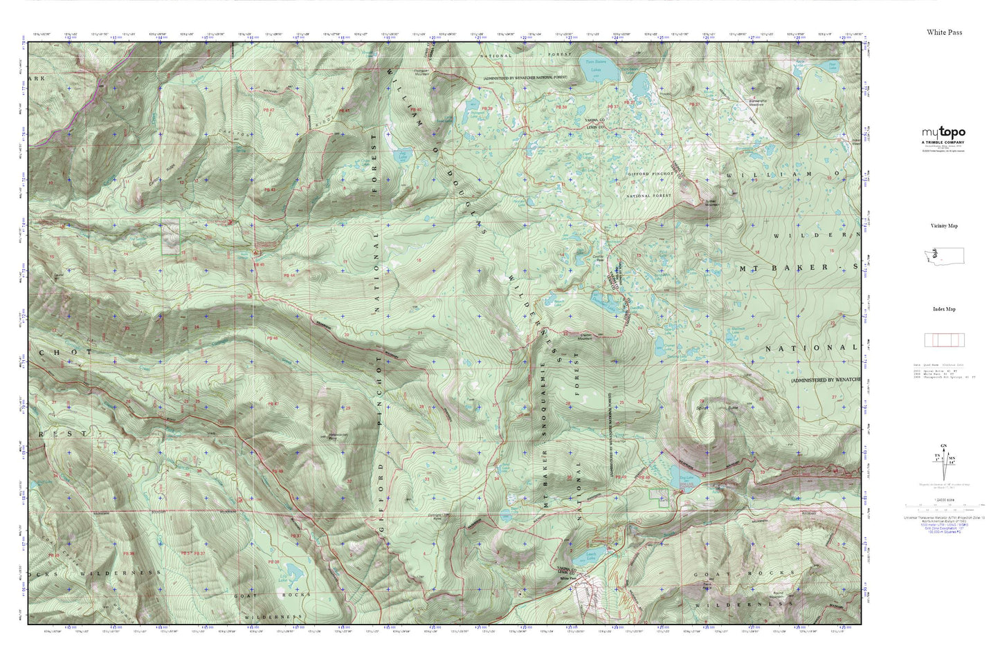
White Pass MyTopo Explorer Series Map
Couldn't load pickup availability
Topographic map of White Pass in the state of Washington. From the MyTopo Explorer Series.
This topo map features shaded relief and comes with UTM / MGRS and Latitude/Longitude grids.
For more than two decades, MyTopo has provided maps to the most adventurous among us.. those who love to explore our nation’s remote wilderness areas, climb our highest peaks, and trek across our vast public lands. This map is part of a curated collection of the most popular places for which MyTopo customers have designed maps. It is a “bucket list” of the most amazing places to hike, hunt, and explore.
This map contains the following named places: Allred Creek,Art Lake,Benchmark Lake,Beusch Lake,Big Peak Trail,Bill Lake,Carlton Ridge,Chain Lakes,Clear Creek Falls,Cortright Creek Trail,Cortright Point,Cowlitz Pass,Cowlitz Trail,Cowlitz Trailhead,Cramer Lake,Cramer Lake Trail,Cramer Mountain,Dancing Lady Lake,Dark Meadows Trail,Deer Lake,Deerhead Lake,Dog Lake,Dumbbell Lake,Fish Ladder Falls,Henry Lake,Jess Lake,Jug Lake,Kincaid Trail,Lake Trail,Lava Creek,Lava Creek Falls Viewpoint,Leech Lake,Lily Lake,Little Lava Creek,Little Snow Lake,Log Spring,Long John Lake,Otter Lake,Penoyer Lake,Pillar Lake,Pipe Lake,Pony Creek,Sand Lake,Sand Lake Shelter,Snow Lake,Soda Springs Campground,Spiral Butte,Tumac Mountain,White Pass,White Pass Campground


