MyTopo
Moore Mesa MyTopo Explorer Series Map
Couldn't load pickup availability
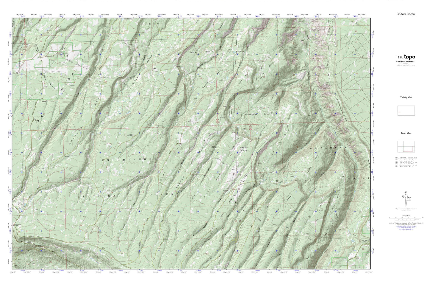
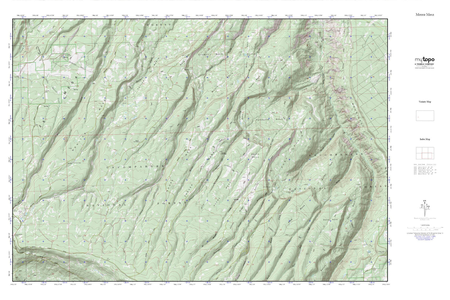
Topographic map of Moore Mesa in the state of Colorado. From the MyTopo Explorer Series.
This topo map features shaded relief and comes with UTM / MGRS and Latitude/Longitude grids.
For more than two decades, MyTopo has provided maps to the most adventurous among us.. those who love to explore our nation’s remote wilderness areas, climb our highest peaks, and trek across our vast public lands. This map is part of a curated collection of the most popular places for which MyTopo customers have designed maps. It is a “bucket list” of the most amazing places to hike, hunt, and explore.
This map contains the following named places: 41 Cow Camp,7 N Mesa,81425,Al Wright Creek,Ashley Ridge,Beach Cow Camp,Beach Creek,Boyden Cow Camp,Christie Creek,Cobb Spring,Columbine Campground,Columbine Pass,Davis Cow Camp,Davis Point,Devils Cow Camp,East Basin,East Bull Creek,Horseshoe Basin,Kitty Creek,Monitor Mesa,Monitor Mesa Trail,Moore Basin,Moore Basin Lake,Moore Mesa,Moore Mesa Trail,Murray Park,Payne Mesa,Pine Mesa,Roubideau Trail,Rouvideau Trail,Tabeguache Overlook,Terrible Creek,Transfer Trail,Traver Basin,Traver Creek,Traver Mesa,Traver Trail