MyTopo
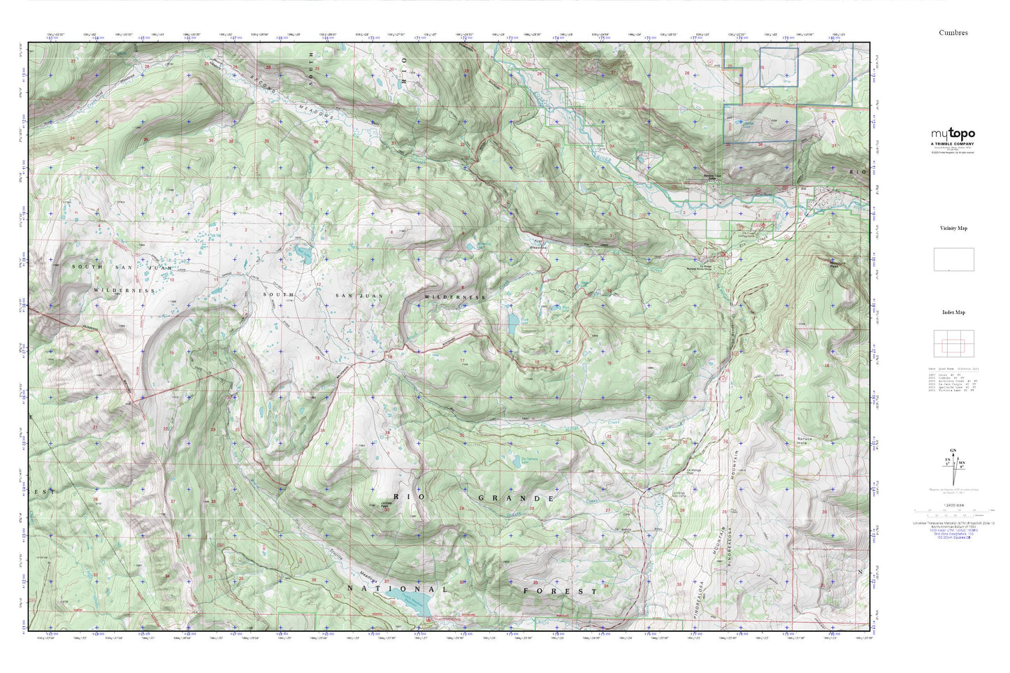
Cumbres MyTopo Explorer Series Map
Couldn't load pickup availability
Topographic map of Cumbres in the state of Colorado. From the MyTopo Explorer Series.
This topo map features shaded relief and comes with UTM / MGRS and Latitude/Longitude grids.
For more than two decades, MyTopo has provided maps to the most adventurous among us.. those who love to explore our nation’s remote wilderness areas, climb our highest peaks, and trek across our vast public lands. This map is part of a curated collection of the most popular places for which MyTopo customers have designed maps. It is a “bucket list” of the most amazing places to hike, hunt, and explore.
This map contains the following named places: Beaver Lake,De Herrera Lake,Dipping Lakes,Duck Lake,Elk Creek Campground,First Meadows,Grouse Creek,Hidden Lake,Jarosa Peak,La Manga Cow Camp,La Manga Creek,La Manga Pass,La Manga Stock Driveway,La Manga Summer Home Group,Notch Trail,Pinorealosa Mountain,Posos Trail,Rainbow Trout Lodge,Red Lake,Red Lake Trail,Rito Colorado,Rock Lake,South Elk Creek,Trujillo Meadows,Waterdog Lake