MyTopo
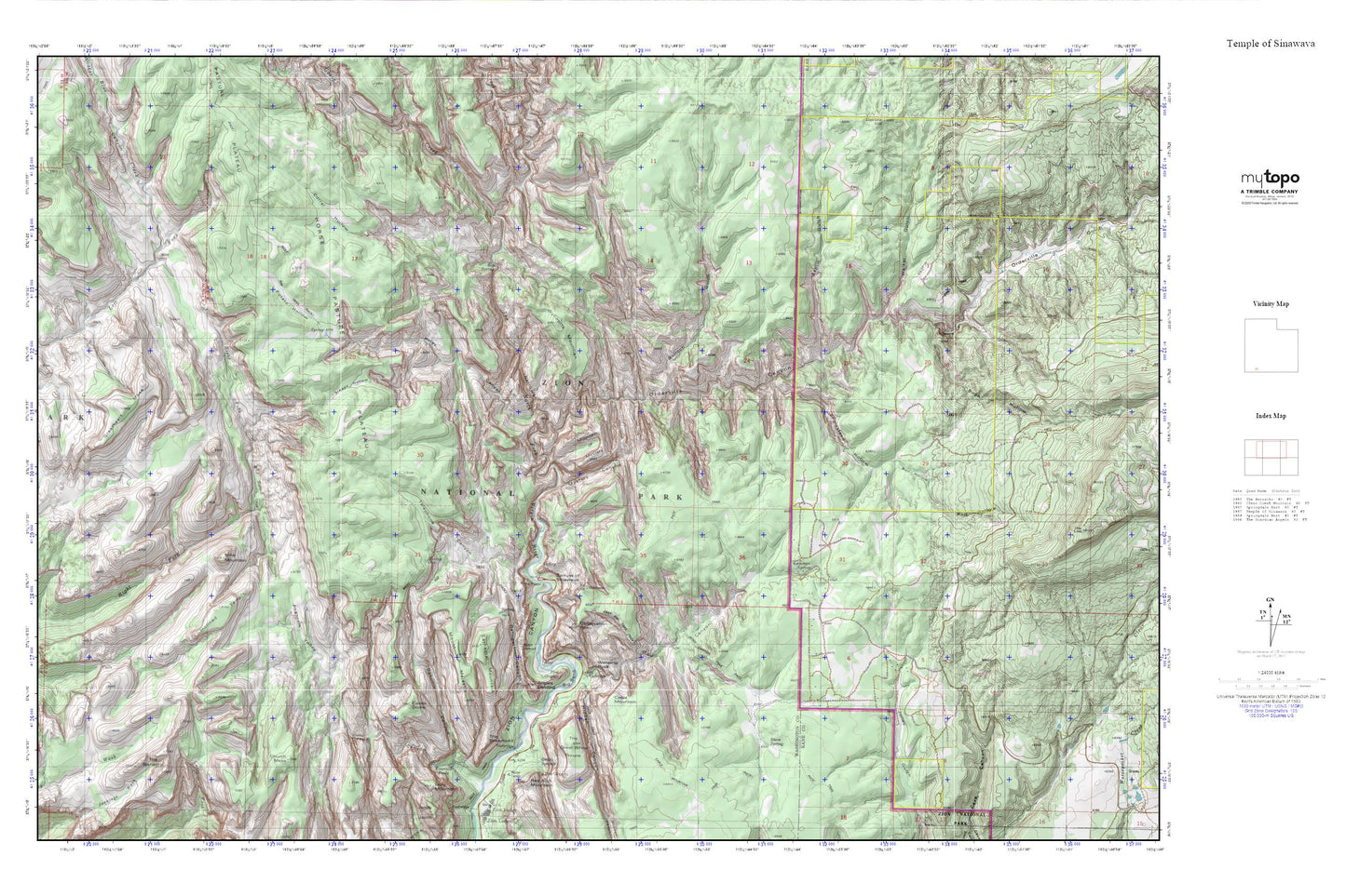
Temple of Sinawava MyTopo Explorer Series Map
Couldn't load pickup availability
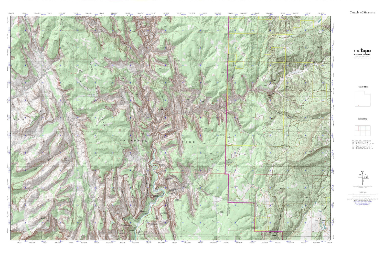
Topographic map of Temple of Sinawava in the state of Utah. From the MyTopo Explorer Series.
This topo map features shaded relief and comes with UTM / MGRS and Latitude/Longitude grids.
For more than two decades, MyTopo has provided maps to the most adventurous among us.. those who love to explore our nation’s remote wilderness areas, climb our highest peaks, and trek across our vast public lands. This map is part of a curated collection of the most popular places for which MyTopo customers have designed maps. It is a “bucket list” of the most amazing places to hike, hunt, and explore.
This map contains the following named places: Amphitheater Temple,Angels Landing,Angels Landing Trail,Behunin Canyon,Big Bend,Big Spring,Birch Hollow,Blue Creek,Bull Hollow,Bulloch Gulch,Cabin Spring,Cable Mountain,Castle Dome,Cathedral Mountain,Church Mesa,Corral Hollow,Double Falls,East Mesa Trail,East Rim Trail,Echo Canyon,Echo Canyon Trail,Elephant Temple,Emerald Pools,Emerald Pools Trail,Englestead Hollow,Esplin Gulch,Gateway to the Narrows Trail,Goose Creek,Greatheart Mesa,Grotto Campground,Grotto Springs,Hidden Canyon,Hidden Canyon Trail,Horse Pasture Plateau,Imlay Canyon,Imlay Temple,Inclined Temple,Ivins Mountain,Lemmon Spring,Mount Majestic,Mountain of Mystery,Mystery Canyon,Observation Point,Orderville Canyon,Orderville Gulch,Phantom Valley,Potato Hollow,Refrigerator Canyon,Russell Gulch,Scout Lookout,Shelter Cabin,Sleepy Hollow,Slickrock,Stave Spring,Telephone Canyon,Temple of Sinawava,The Bishopric,The Great White Throne,The Narrows,The Organ,The Pulpit,The Spearhead,Walker Gulch,Walters Wiggles,Weeping Rock,West Rim Trail,Wildcat Canyon,Wynopits Mountain,Zion Arrows,Zion National Park,Zion Stadium,Zion Wilderness


