MyTopo
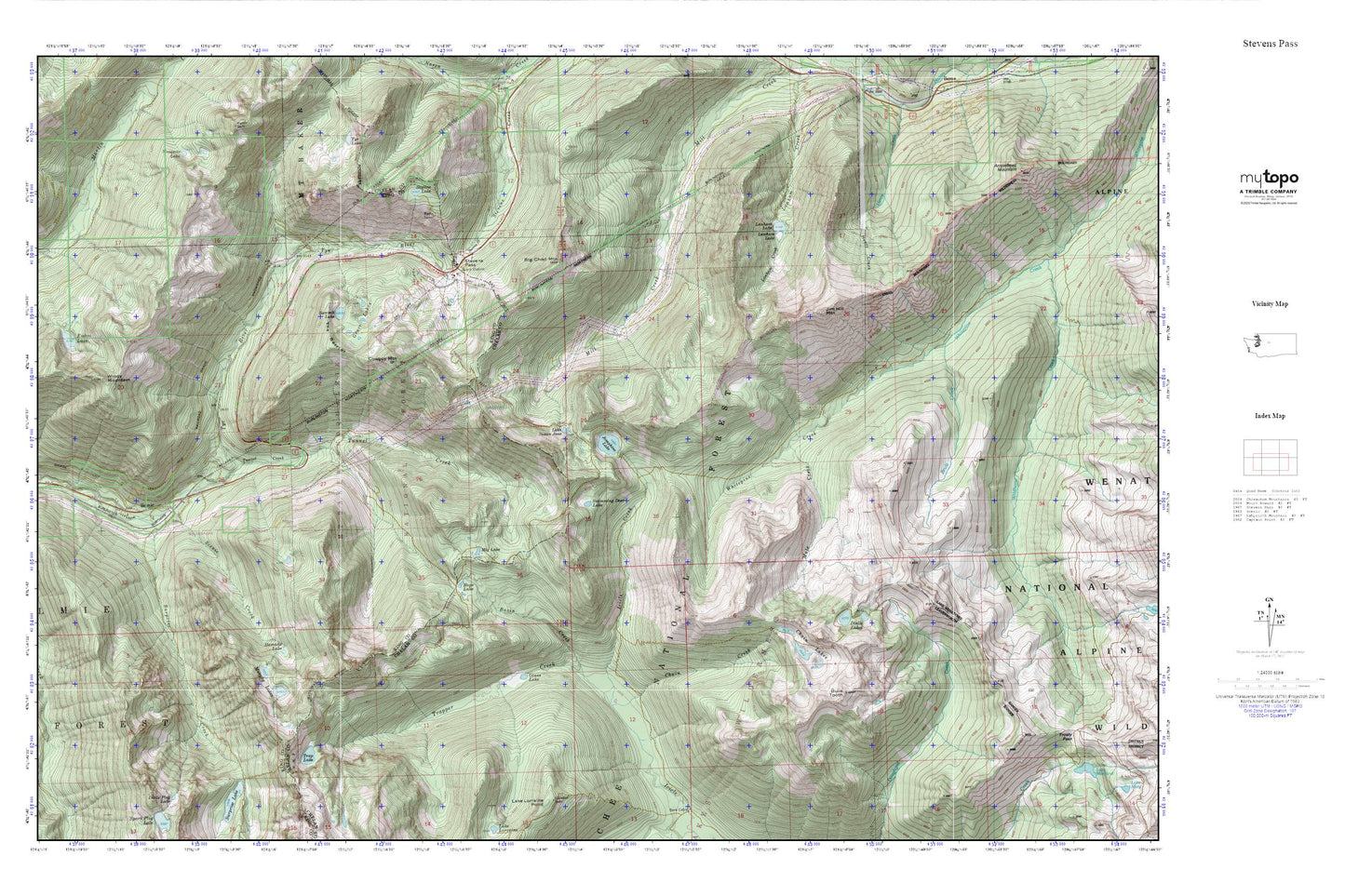
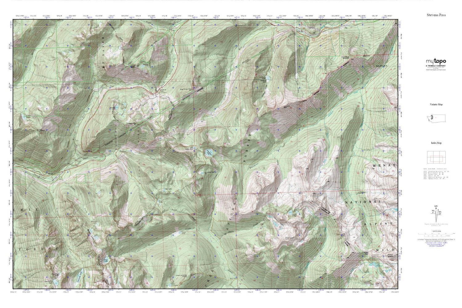
Stevens Pass MyTopo Explorer Series Map
Couldn't load pickup availability
Topographic map of Stevens Pass in the state of Washington. From the MyTopo Explorer Series.
This topo map features shaded relief and comes with UTM / MGRS and Latitude/Longitude grids.
For more than two decades, MyTopo has provided maps to the most adventurous among us.. those who love to explore our nation’s remote wilderness areas, climb our highest peaks, and trek across our vast public lands. This map is part of a curated collection of the most popular places for which MyTopo customers have designed maps. It is a “bucket list” of the most amazing places to hike, hunt, and explore.
This map contains the following named places: Basin Creek,Big Chief Mountain,Brule Creek,Bulls Tooth,Cascade Tunnel,Chain Creek,Chain Lakes,Cowboy Mountain,Delberts Ridge,Doelle Lakes,Grace Lakes,Grass Lake,Hamada Lake,Hope Lake,Jim Hill Mountain,Josephine Lake,Lake Murphy,Lake Susan Jane,Lanham Lake,Mig Lake,Mule Creek,Murphy Lakes,New Cascade Tunnel,Old Cascade Tunnel,Pacific Crest Trailhead,Scenic,Scenic Creek,Skyline Lake,Steven Pass Org Site,Stevens Pass,Stevens Pass Guard Station,Stevens Pass Recreation Area,Summit Lake,Surprise Creek,Swimming Deer Lake,The Barrier,Trap Lake,Trapper Creek,Tunnel Creek,Tye