MyTopo
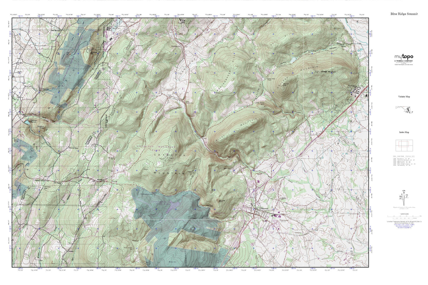
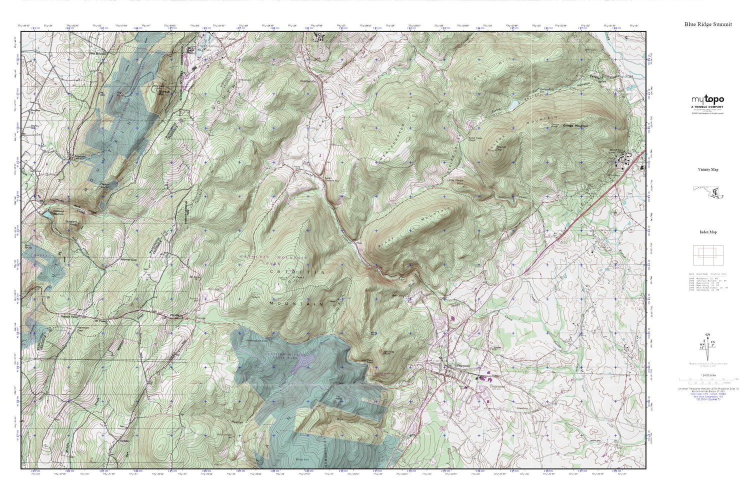
Blue Ridge Summit MyTopo Explorer Series Map
Couldn't load pickup availability
Topographic map of Blue Ridge Summit in the state of Maryland. From the MyTopo Explorer Series.
This topo map features shaded relief and comes with UTM / MGRS and Latitude/Longitude grids.
For more than two decades, MyTopo has provided maps to the most adventurous among us.. those who love to explore our nation’s remote wilderness areas, climb our highest peaks, and trek across our vast public lands. This map is part of a curated collection of the most popular places for which MyTopo customers have designed maps. It is a “bucket list” of the most amazing places to hike, hunt, and explore.
This map contains the following named places: 21780,21783,Altogether,Apples Cemetery,Apples Church,Barth Spring,Bear Branch,Bellemere Estates,Blacks Hilltop Orchard,Blue Ridge Summit Overlook,Browns Cemetery,Browns Store,Buzzard Knob,Camp 1,Camp 2,Camp 3,Camp Airy,Camp Greentop Historic District,Camp Misty Mount Historic District,Camp Peniel,Carrick Knob,Cat Rock,Catoctin Breeze Vineyard,Catoctin Heights,Catoctin High School,Catoctin Highlands,Catoctin Mountain,Catoctin Mountain Orchard,Catoctin Mountain Park,Catoctin View Christian School,Chimney Rock,College Mountain,Colonial Heights,Cunningham Falls,Cunningham Falls Nature Trail,Deerfield United Methodist Church,Distant View,District 10 Hauvers,District 15 Thurmont,Dodge Chapel Cemetery,East End Park,Edgemont,Edgemont Census Designated Place,Edgemont Creek,Edgemont Reservoir,Emmitsburg Dam,Emmitsburg Reservoir,Eyeler,Eyler Road Recreation Area,Eylers Valley,Eylers Valley Chapel,Flanagan Orchards,Flint,Foxville,Foxville Lookout Tower,Foxville Ranger Station,Foxville School,Frank Bentz Memorial Lake,Franklin School,Friendship,Garfield Cemetery,Garfield United Methodist Church,Gateway,Germantown Church,Graceham,Graceham Cemetery,Graceham Census Designated Place,Graceham Moravian Church,Graceham Volunteer Fire Company Station 18,Guardian Hose Company,Guardian Hose Company Number 10,Harman Gap,Hauver Branch,High Rock,High Rock Nature Trail,High Run,Highland Farms,Highland Woods,Hopkins Ridge,Hunting Creek Acres,Hunting Creek Dam,Hunting Creek Lake,June Acres,Lady of Mount Carmel Catholic Church,Lantz,Lantz Post Office,Little Owens Creek,Little Piney Mountain,Manahan Ranch Estates,McIntyre Estates,Mount Bethel Cemetery,Mount Bethel United Methodist Church,Mount Maria Church,Mount Moriah Cemetery,Mount Pleasant Church of God,Mountain Gate Plaza Shopping Center,New Carrollton City Hall,New Carrollton Police Department,Owens Creek Camp,Piney Mountain,Pioneer Baptist Church School,Pleasant Valley,Pleasant Valley School,Poplar Knob,Quirauk Mountain,Quirauk School,Rainbow Lake,Raven Rock,Raven Rock Hollow,Ridgeview,Roddy,Roddy Road Covered Bridge,Roddy Road Park,Round Meadow Camp Number 4,Sabillasville Census Designated Place,Sabillasville Elementary School,Saint Johns Evangelical Lutheran Church,Saint Paul Lutheran Church,Saint Pauls Graveyard,Scenic View Orchards,Sensenbaugh School,Seymour B Cooper Memorial Wildlife Sanctuary,Shamrock Acres,Smeltzer,Smithbrook Acres,Spiderbush Nature Trail,Staubs Thurmont Acres,Stouffers Cemetery,Stouffers Church,Summit Lake Camp,Thurmont,Thurmont Branch Library,Thurmont Community Ambulance Service Number 30,Thurmont Community Ambulance Service Station 30,Thurmont Elementary School,Thurmont Industrial Park,Thurmont Library,Thurmont Middle School,Thurmont Overlook,Thurmont Park,Thurmont Plaza Shopping Center,Thurmont Police Department,Thurmont Post Office,Thurmont Primary School,Thurmont Town Hall,Thurmont United Methodist Church,Thurmont West,Toms Cemetery Number 2,Town of Thurmont,Trinity United Church of Christ,United Brethren Cemetery,Warner Gap,Warner Gap Hollow,Warners Gap Hollow Dam,Way-Stan Farms,Weller Cemetery,Weller United Methodist Church,Wertenbaker Hill,Whispering Pines,William Houck Campground,Wolf Rock,Wolfes Orchard,WTHU-AM (Thurmont),WWMD-FM (Hagerstown)


