
MyTopo
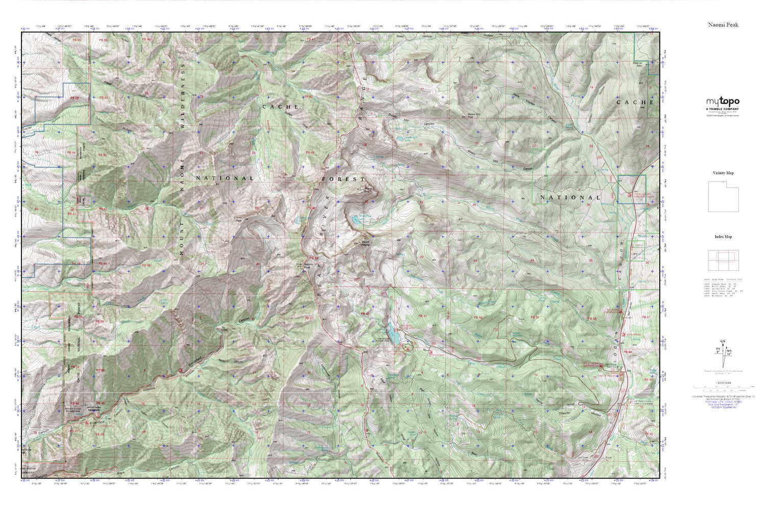
Naomi Peak MyTopo Explorer Series Map
Couldn't load pickup availability
Topographic map of Naomi Peak in the state of Utah. From the MyTopo Explorer Series.
This topo map features shaded relief and comes with UTM / MGRS and Latitude/Longitude grids.
For more than two decades, MyTopo has provided maps to the most adventurous among us.. those who love to explore our nation’s remote wilderness areas, climb our highest peaks, and trek across our vast public lands. This map is part of a curated collection of the most popular places for which MyTopo customers have designed maps. It is a “bucket list” of the most amazing places to hike, hunt, and explore.
This map contains the following named places: Bear River Range,Bubble Spring,Bullen Hole,Cherry Peak,Coldwater Spring,Goring Pond,Hansen Pond,High Creek Lake,Indian Canyon,Mount Gog,Mount Magog,Mount Naomi Wilderness,Naomi Peak,North Fork City Creek,Rocky Canyon,Selman Reservoir,Smith Spring,Smithfield Picnic Area,South Fork Summit Creek,Steam Mill Lake,Steam Mill Peak,Tony Grove Lake,Tony Grove Lake Campground,Tony Grove Lake Trailhead,White Pine Lake


