MyTopo
En Route MyTopo Explorer Series Map
Couldn't load pickup availability
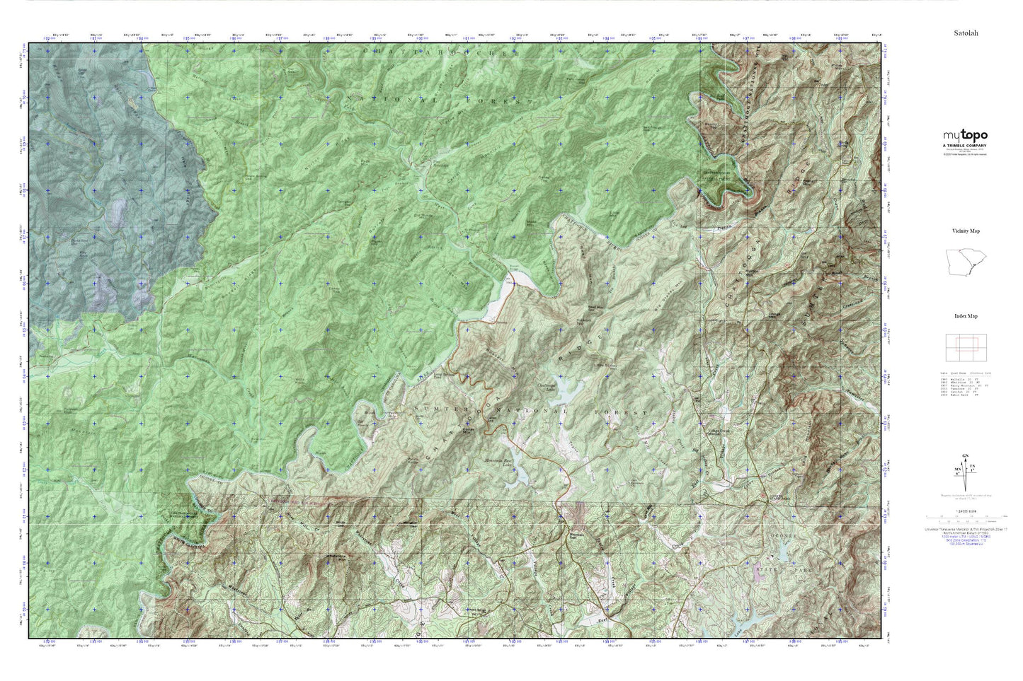
Topographic map of En Route in the states of Georgia, South Carolina. From the MyTopo Explorer Series.
This topo map features shaded relief and comes with UTM / MGRS and Latitude/Longitude grids.
For more than two decades, MyTopo has provided maps to the most adventurous among us.. those who love to explore our nation’s remote wilderness areas, climb our highest peaks, and trek across our vast public lands. This map is part of a curated collection of the most popular places for which MyTopo customers have designed maps. It is a “bucket list” of the most amazing places to hike, hunt, and explore.
This map contains the following named places: 29664,Adline Branch,Alf Hill,Apple Valley,Beck Mountain,Bethlehem Baptist Church,Bethlehem Baptist Church Graveyard,Bethlehem School,Big Mountain,Big Shoals,Big Stakey Creek,Big Stakey Mountain,Billingsley Cemetery,Black Diamond Tunnel,Boston Branch,Brack Hill,Burrell Cemetery,Burrell Mountain,Burrells Ford Trail,Bynum Branch,Cabin Mountain,Callas Gap,Callas Mountain,Camp Branch,Carrol Mountain,Chattooga Lake,Chattooga Lake Dam D-1637,Chattooga River Prospect,Chattooga Wild and Scenic River,Clear Branch,Cold Mine Branch,Cornpen Gap,Dicks Creek,Dodge Mountain,Ducks Nest Gap,Earls Ford,Earls Ford Recreation Site,Gates Store,Goble Gap,Gordons Lake,Gordons Lake Dam D-1640,Hamby Cemetery,Hickory Top,Highway 28 Recreation Site,Holden Branch,Holden Cemetery,Holden Mountain,Hoods Creek,Ira Branch,Katy Knob,Kell Cemetery,Lake Front Homes Pond,Lake Leroy,Lake Leroy Dam D-1639,Laurel Branch,Laurel Creek,Laurel Creek Mine,Law Ground Creek,Lick Log Creek,Little Mountain,Little Stakey Mountain,Long Bottom Ford,Maple Spring Gap,Mill Creek School,Mongold Gap,Morsingills Creek,Morton Mountain,Mose Branch,Mose Mountain,Moss Mill Creek,Mount Pleasant Church,Mountain Rest,Mountain Rest Division,Mountain Rest Lake,Mountain Rest Lake Dam D-1638,Nicholas Ford,Norton Ridge,Oakey Top,Old Mossy Mountain,Orrs Mill Creek,Page Branch,Page Cemetery,Page Mountain,Pigpen Branch,Pigpen Gap,Pine Mountain,Piney Knob,Pleasant Hill Church,Pollywah Knob,Pounding Mill Creek,Reed Creek,Reed Mill Creek,Reed Mountain,Reed Mountain Gap,Rock Creek,Rock Gorge,Rocky Gap,Round Top,Russell,Russell Bridge,Russell Mountain,Salt Trough Gap,Sandy Ford,Sarahs Creek,Smith Branch,Snyder Cemetery,South Carolina Noname 37026 D-1631 Dam,Speed Cemetery,Turn Hole,Village Creek Mission,Village Creek School,Wall Mountain,Walnut Fork,Warwoman Creek,Warwoman Ford,Warwoman Volunteer Fire Station,West Fork Chattooga River,West Village Creek,Whetstone Creek,Whetstone Mountain,Willis Knob,Woodall Ridge