MyTopo
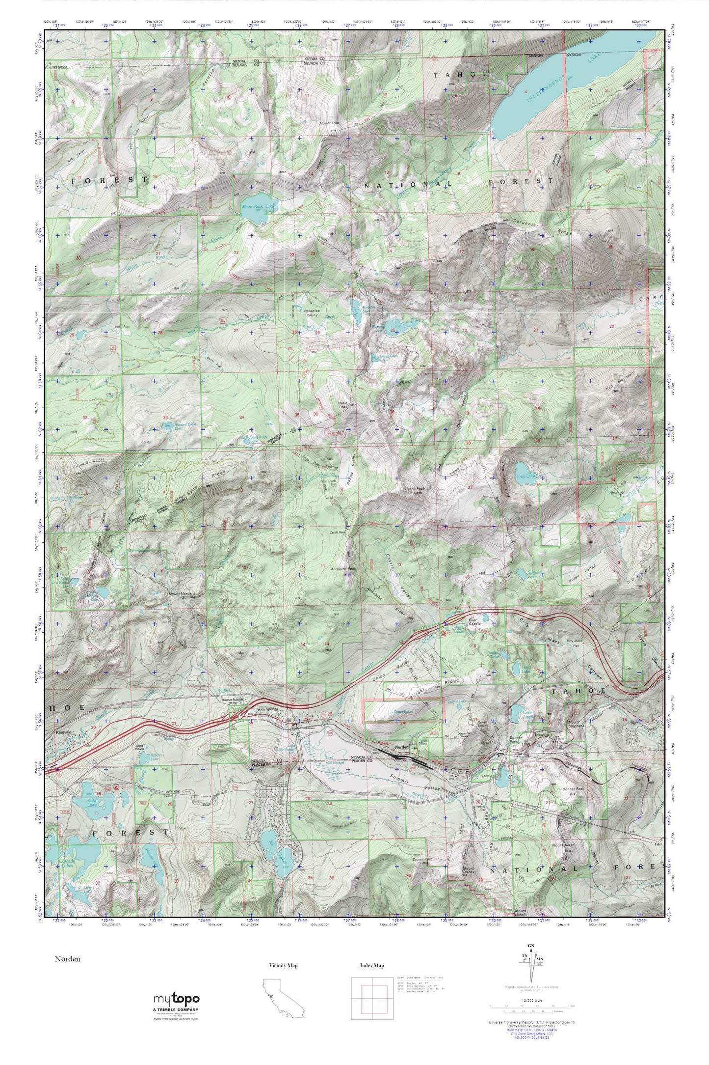
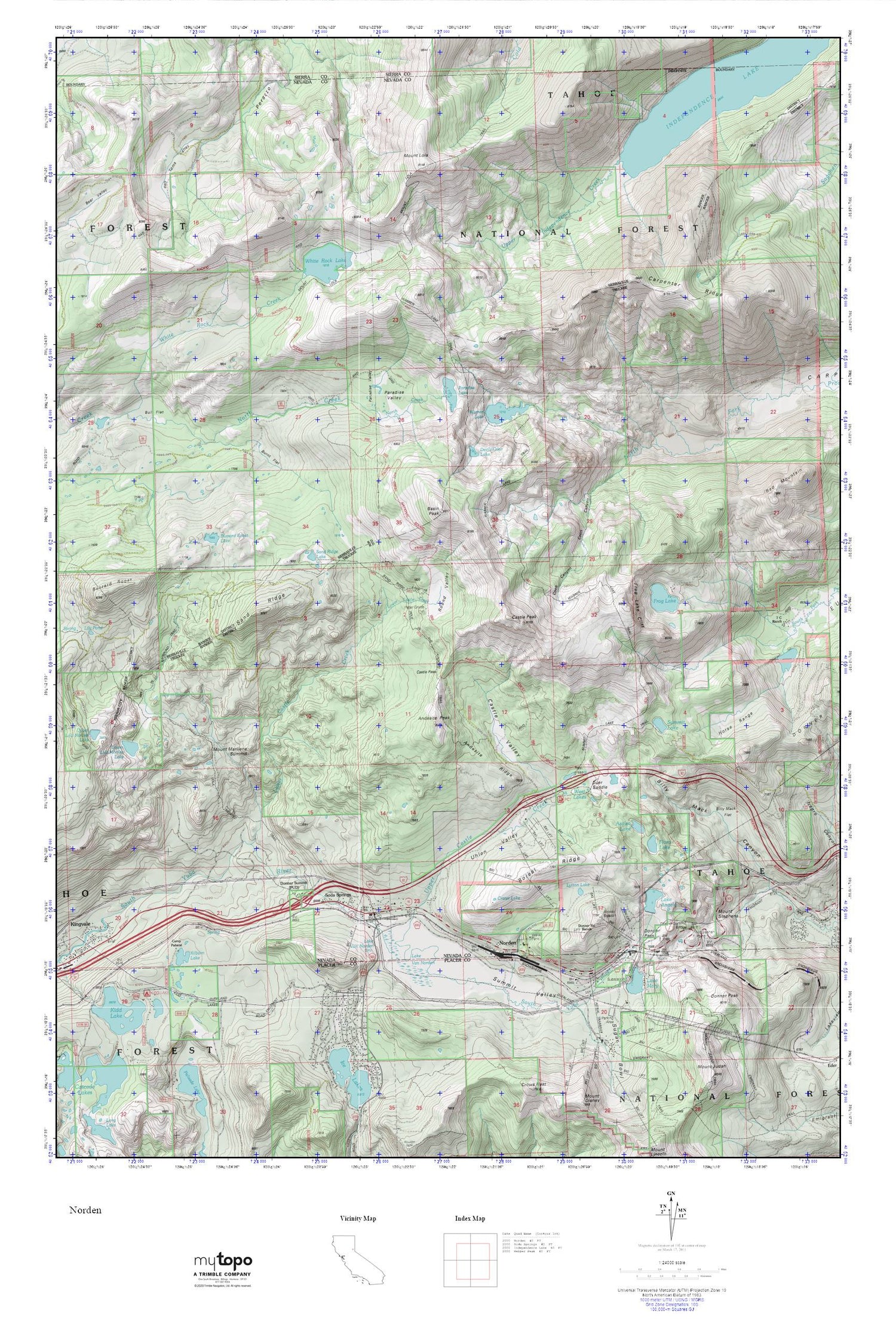
Round Valley MyTopo Explorer Series Map
Couldn't load pickup availability
Topographic map of Round Valley in the state of California. From the MyTopo Explorer Series.
This topo map features shaded relief and comes with UTM / MGRS and Latitude/Longitude grids.
For more than two decades, MyTopo has provided maps to the most adventurous among us.. those who love to explore our nation’s remote wilderness areas, climb our highest peaks, and trek across our vast public lands. This map is part of a curated collection of the most popular places for which MyTopo customers have designed maps. It is a “bucket list” of the most amazing places to hike, hunt, and explore.
This map contains the following named places: 95724,95728,Andesite Peak,Andesite Ridge,Azalea Lake,Basin Peak,Billy Mack Flat,Boreal Ridge,Boreal Ridge Ski Area,Bull Flat,Burnt Flat,Buzzard Roost Lake,Camp Pahatsi,Carpenter Ridge,Castle Pass,Castle Peak,Castle Valley,Coon Canyon,Crater Lake,Deer Park Recreation Site,Devils Oven Lake,Donner,Donner Division,Donner Pass,Donner Peak,Donner Summit,Donner Summit Bridge,Donner Summit Recreation Site,Donner Summit Ski Area,Euer Saddle,Flora Lake,Frog Lake,Frog Lake Cliff,George R. Stewart Peak,Hole-In-Ground,Horse Range,Independence Lake,Kidd Lake Campgrond,Kilborn Lake,Lake Angela,Lake Angela 89-002 Dam,Lake Mary,Lake Mary 311-003 Dam,Lake Van Norden,Lola Montez Trail,Lower Castle Creek,Lower Lola Montez Lake,Lytton Lake,McGlashan Point,Mount Lola,Mount Marliave,Mount Stephens,Norden,Norden Post Office,Paradise Lake,Paradise Valley,Peter Grubb Hut,Red Mountain,Round Valley,Sand Ridge,Sand Ridge Lake,Soda Springs,Soda Springs Census Designated Place,Soda Springs Post Office,Soda Springs Ski Area,Sugar Bowl Ski Area,Summit Lake,Summit Valley,Truckee Fire Protection District Station 97,Truckee Fire Protection District Station 98 Serene Lakes,Uhlen Valley,Upper Castle Creek,Upper Independence Creek,Van Norden Campground,Warren Lake,Warren Lake Trail,West Lakes,White Rock Creek,White Rock Lake,White Rock Lake 97-049 Dam


