MyTopo
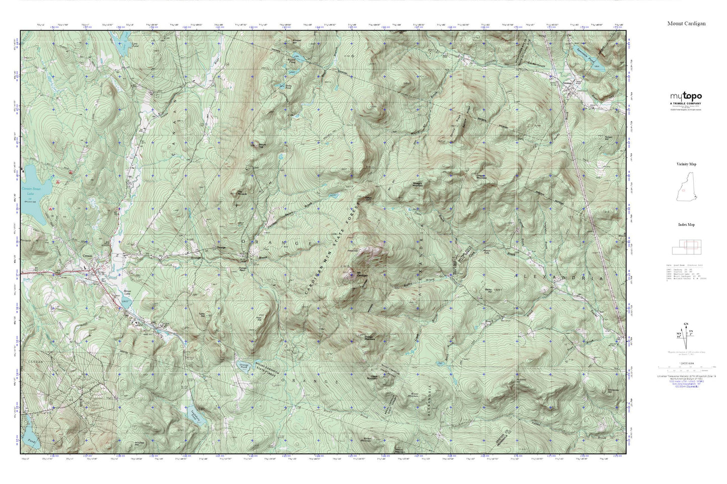
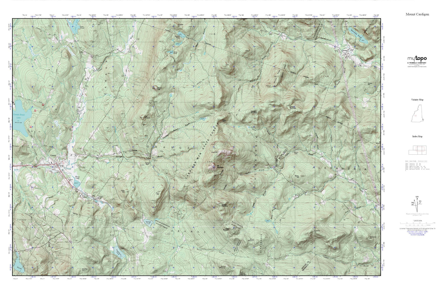
Mount Cardigan MyTopo Explorer Series Map
Couldn't load pickup availability
Topographic map of Mount Cardigan in the state of New Hampshire. From the MyTopo Explorer Series.
This topo map features shaded relief and comes with UTM / MGRS and Latitude/Longitude grids.
For more than two decades, MyTopo has provided maps to the most adventurous among us.. those who love to explore our nation’s remote wilderness areas, climb our highest peaks, and trek across our vast public lands. This map is part of a curated collection of the most popular places for which MyTopo customers have designed maps. It is a “bucket list” of the most amazing places to hike, hunt, and explore.
This map contains the following named places: 03741,Bailey Brook,Bailey Hill,Brown Brook,Brown Mountain,Canaan,Canaan Census Designated Place,Canaan Christian School,Canaan Elementary School,Canaan Fire Department,Canaan First Aid Stabilization Team Squad,Canaan Police Dept,Canaan Post Office,Clark Trail,Crane Mountain,Derby Pond,Haines Brook,Height of Land School,Holt Trail,Hoyt Hill,Hutchins Hill,Manning Trail,Mirror Lake,Mount Cardigan,Mount Cardigan State Park,Mount Tug,Mowglis Mountain,Mowglis Trail,Number Seven Brook,Orange,Orange Basin,Orange Brook,Orange Common Cemetery,Orange Mountain,Orange Pond,Oregon Mountain,Red School,Spruce Ridge,Tewksbury Pond,The Pinnacle,Town of Orange,Tuttle Hill,Welton Falls,Welton Falls State Forest,West Ridge Trail,Williams Field


