MyTopo
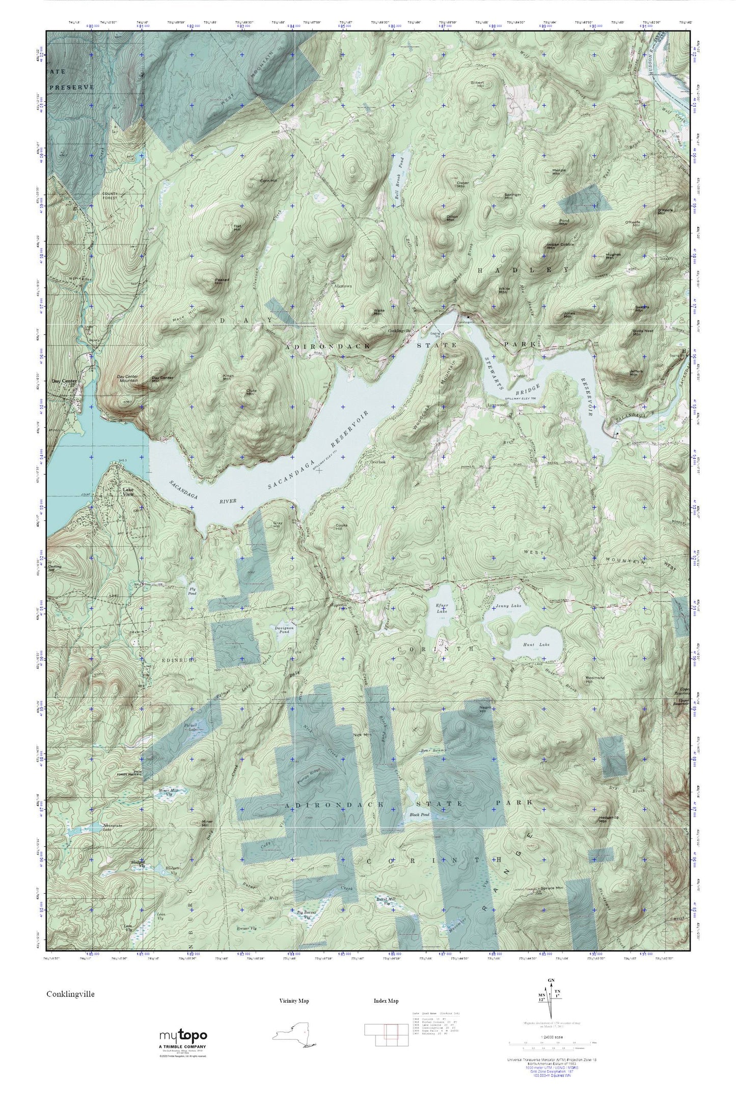
Conklingville MyTopo Explorer Series Map
Couldn't load pickup availability
Topographic map of Conklingville in the state of New York. From the MyTopo Explorer Series.
This topo map features shaded relief and comes with UTM / MGRS and Latitude/Longitude grids.
For more than two decades, MyTopo has provided maps to the most adventurous among us.. those who love to explore our nation’s remote wilderness areas, climb our highest peaks, and trek across our vast public lands. This map is part of a curated collection of the most popular places for which MyTopo customers have designed maps. It is a “bucket list” of the most amazing places to hike, hunt, and explore.
This map contains the following named places: 12822,12835,Allentown,Allentown Creek,Bear Swamp,Bell Brook,Bell Brook Pond,Black Pond,Black Pond Creek,Breen Brook,Burnt Mill Creek,Cady Vly,Clute Mountain,Community Church of Conklingville,Conklingville,Conklingville Cemetery,Conklingville Dam,Cooks Hill,Corn Hill,Daly Creek,Davignon Pond,Day Center Mountain,Dillon Mountain,Dwyer Mountain,Efner Lake,Efner Lake Brook,Eggleston Falls,Flat Hill,Fly Pond,Gilbert Hill,Gray Hill,Hedgehog Mountain,Hughes Mountain,Hunt Brook,Hunt Lake,Indian Cobble Mountain,Jenny Lake,Joel Brook,Jones Mountain,Kings Mountain,Lynnwood,Lynwood Baptist Church,Mace Hill,Man Shanty Brook,Menzie Mountain,Miner Hill,Miner Mill Vly,Mink Brook,Negro Hill,Nick Creek,Nick Mountain,Overlook,Palmer Lake,Palmer Lake Creek,Parker Brook,Peaked Hill,Pompy Ridge,Pond Mountain,Redmond Hill,Springer Mountain,Stewarts Bridge Reservoir,Town of Corinth,Town of Hadley,Waite Mountain,White Mountain,Woodcock Mountain


