MyTopo
Sleeping Bear Dunes MyTopo Explorer Series Map
Couldn't load pickup availability
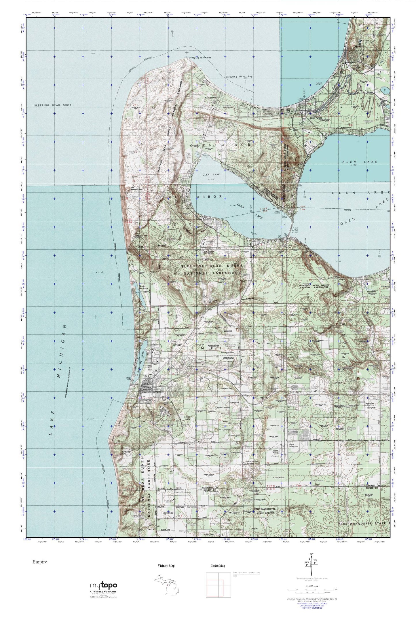
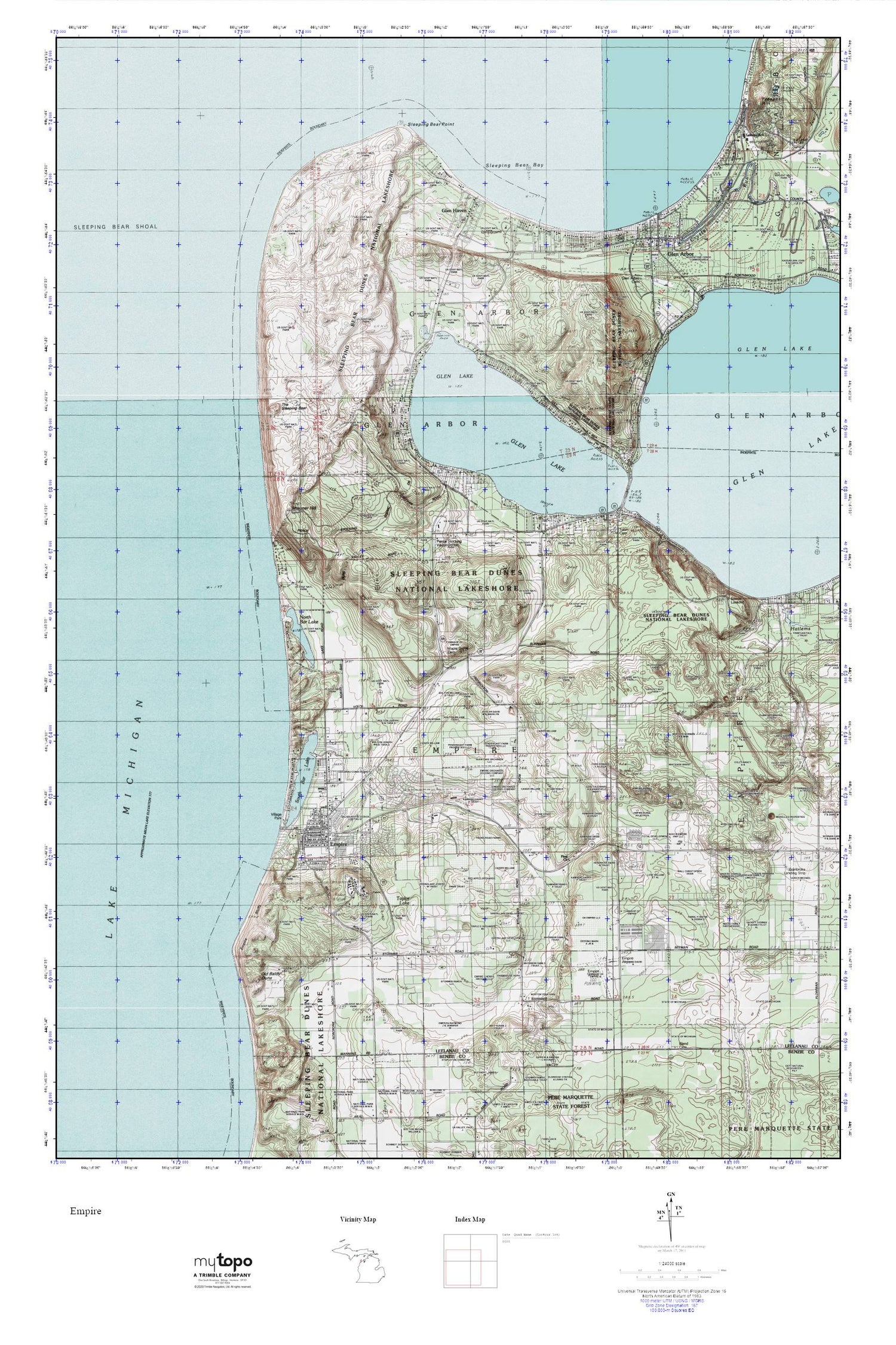
Topographic map of Sleeping Bear Dunes in the state of Michigan. From the MyTopo Explorer Series.
This topo map features shaded relief and comes with UTM / MGRS and Latitude/Longitude grids.
For more than two decades, MyTopo has provided maps to the most adventurous among us.. those who love to explore our nation’s remote wilderness areas, climb our highest peaks, and trek across our vast public lands. This map is part of a curated collection of the most popular places for which MyTopo customers have designed maps. It is a “bucket list” of the most amazing places to hike, hunt, and explore.
This map contains the following named places: 49630,Bethlehem Lutheran Church,Crystal River,D H Day State Park,Devils Hole,Dunes Golf Club,Early State Parks Historical Marker,Empire,Empire Airport,Empire Area Museum,Empire Bluffs,Empire Lumber County Historical Marker,Empire Post Office,Empire Station,Empire Township Campground,Empire United Methodist Church,Empire Volunteer Fire Department,First Church,First Church of Christ Scientist,Glen Arbor,Glen Arbor Cemetery,Glen Arbor Census Designated Place,Glen Arbor Post Office,Glen Haven,Glen Haven Post Office,Glen Lake,Glen Lake Community Library,Glen Lake Fire Department Station 1,Glen Lake Trailer Park,Glenmere Post Office,James R Johnson Park,Leelanau School Road Cemetery,Leelanau Schools,Manitou Medical Center,Maple Grove Cemetery,North Bar Lake,North Empire Park,Old Baldy Dune,Pierce Stocking Visitor Center,Saint Philip Neri Catholic Church Cemetery,Saint Philip Neri Church,Shauger Hill,Sleeping Bear Bay,Sleeping Bear Dunes,Sleeping Bear Point,Sleeping Bear Shoal,Sleepy Bear Campground,South Bar Lake,Taylor Lake,The Sleeping Bear,Tobin Cemetery,Township of Empire,USDH Day Campground,Village of Empire,Village Park,WMLB-FM (Glen Arbor),WTHM-FM (Glen Arbor)


