MyTopo
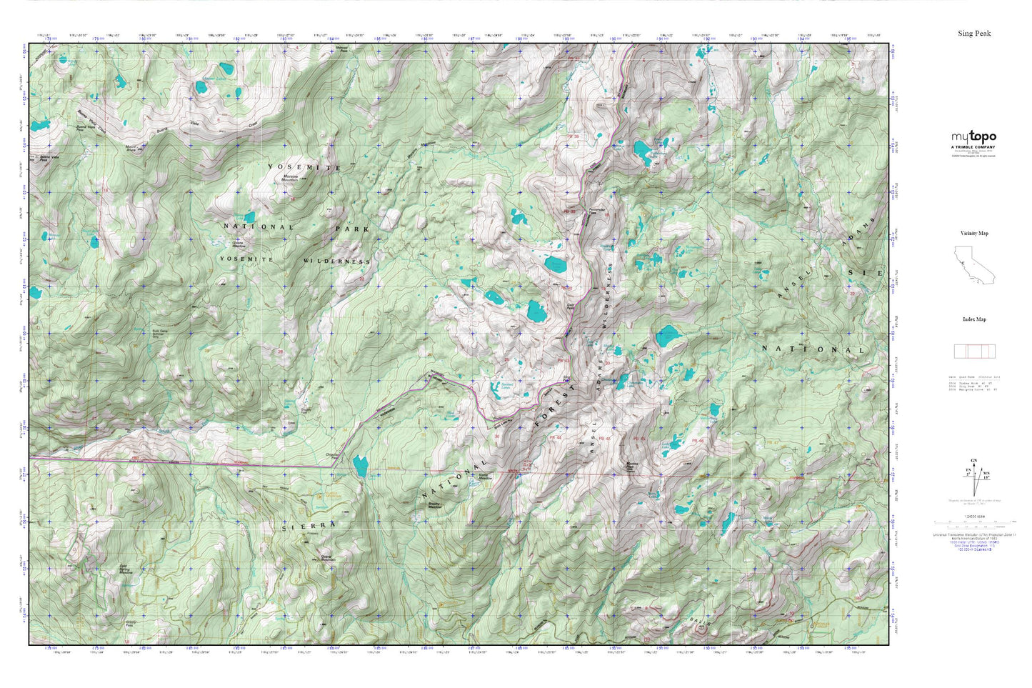
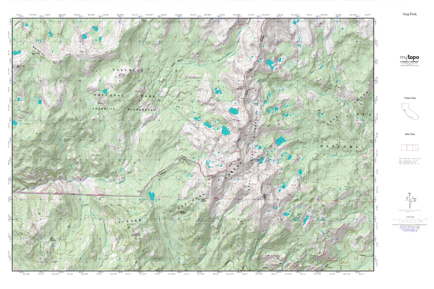
Sing Peak MyTopo Explorer Series Map
Couldn't load pickup availability
Topographic map of Sing Peak in the state of California. From the MyTopo Explorer Series.
This topo map features shaded relief and comes with UTM / MGRS and Latitude/Longitude grids.
For more than two decades, MyTopo has provided maps to the most adventurous among us.. those who love to explore our nation’s remote wilderness areas, climb our highest peaks, and trek across our vast public lands. This map is part of a curated collection of the most popular places for which MyTopo customers have designed maps. It is a “bucket list” of the most amazing places to hike, hunt, and explore.
This map contains the following named places: Alpine Lake,Anne Lake,Blackie Lake,Breeze Lake,Brophy Meadow,Buck Camp Ranger Station,Buck Creek,Buena Vista Lake,Buena Vista Pass,Buena Vista Peak,Burro Lake,Chain Lakes,Chiquito Lake,Chiquito Pass,Chittenden Lake,Cold Springs Meadow,Fernandez Creek,Fernandez Lakes,Fernandez Pass,Flat Lake,Gale Lake,Gale Peak,Givens Creek,Givens Lake,Givens Meadow,Gravelly Ford,Grizzly Creek,Jackass Lakes,Johnson Lake,Klette Meadow,Lady Lake,Lillian Lake,Madera Lakes,Madera Peak,Minnow Lake,Monument Lake,Moraine Meadows,Moraine Mountain,Mount Bruce,Mud Lakes,Norris Lake,Quartz Mountain,Rainbow Lake,Redtop,Royal Arch Lake,Ruth Lake,Rutherford Lake,Rutherford Lake 1-036 Dam,Shirley Creek,Shirley Lake,Sing Peak,Spotted Lakes,Staniford Lakes,Swamp Lake,Twin Lakes,Vanderburgh Lake,Walker Mine


