MyTopo
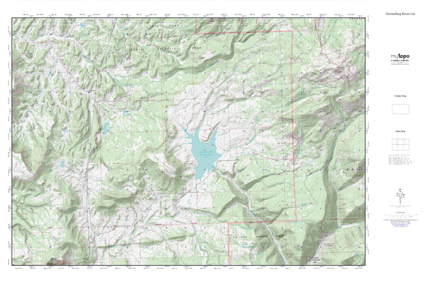
Groundhog Reservoir MyTopo Explorer Series Map
Couldn't load pickup availability
Topographic map of Groundhog Reservoir in the state of Colorado. From the MyTopo Explorer Series.
This topo map features shaded relief and comes with UTM / MGRS and Latitude/Longitude grids.
For more than two decades, MyTopo has provided maps to the most adventurous among us.. those who love to explore our nation’s remote wilderness areas, climb our highest peaks, and trek across our vast public lands. This map is part of a curated collection of the most popular places for which MyTopo customers have designed maps. It is a “bucket list” of the most amazing places to hike, hunt, and explore.
This map contains the following named places: Beaver Creek Ditch,Belmear Lake,Belmear Lake Dam,Clear Creek,Dunham Dam,Flattop Mountain,Garner Dam,Garner Reservoir,Groundhog Dam,Groundhog Point Reservoir,Groundhog Reservoir,Joe Redd Reservoir,Lavender School,Little Fish Creek Ditch,Nash Creek,North Nipple Reservoir,Old Dunham Reservoir,Rico Division,South Mountain,The Rincon