MyTopo
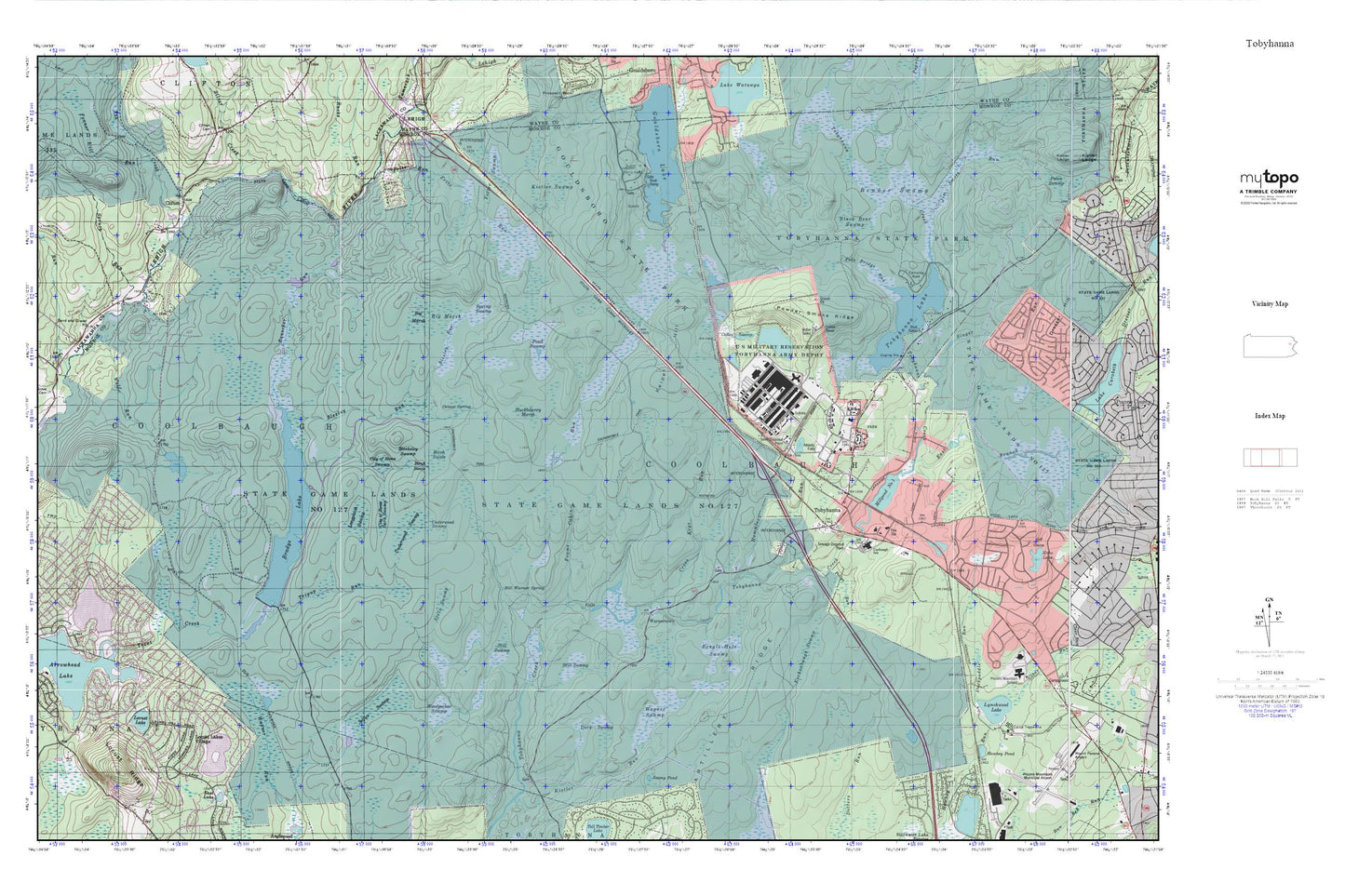
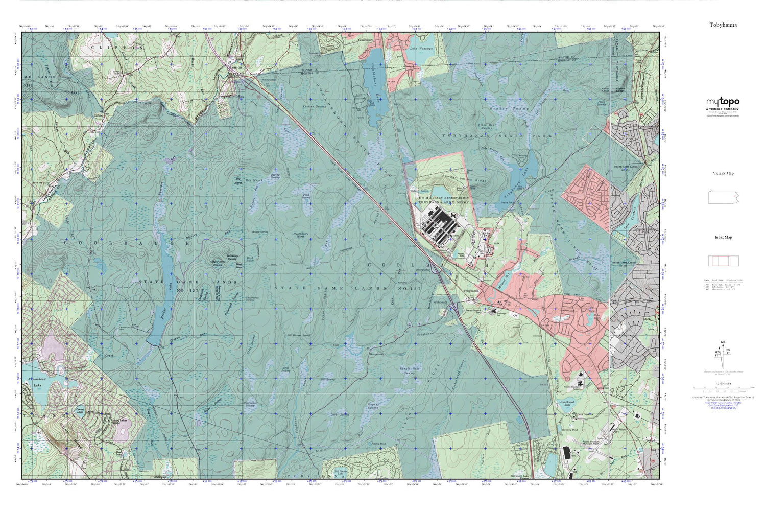
Tobyhanna MyTopo Explorer Series Map
Couldn't load pickup availability
Topographic map of Tobyhanna in the state of Pennsylvania. From the MyTopo Explorer Series.
This topo map features shaded relief and comes with UTM / MGRS and Latitude/Longitude grids.
For more than two decades, MyTopo has provided maps to the most adventurous among us.. those who love to explore our nation’s remote wilderness areas, climb our highest peaks, and trek across our vast public lands. This map is part of a curated collection of the most popular places for which MyTopo customers have designed maps. It is a “bucket list” of the most amazing places to hike, hunt, and explore.
This map contains the following named places: 18346,18347,18466,Arrowhead Lake,Ash Creek,Bailer Dam,Beagle Hole Swamp,Bender Swamp,Bill Warner Spring,Birch Swale,Bleeksley Swamp,Blexley Run,Brady Dam,Bradys Lake,Bradys Lake Dam,Bradys Switch,Buckey Run,City of Rome Dark Swamp,City of Rome Swamp,Clifton,Coolbaugh Township Volunteer Fire Company 25 Station 1,Cross Keys Run,Dark Swamp,Drums,Duckpuddle Run,East Branch Tobyhanna Creek,Eschenbaugh Swamp,Fenner Mill Run,Frame Cabin Run,Fritz Run,Gouldsboro State Park,Hawkey Pond,Huckleberry Marsh,Hummler Run,Ice Pond,Jim Smith Run,Jimmy Pond,Keipel Hill,Kistler Swamp,Lakeside Trail,Locust Lake,Locust Lakes Village,Locust Ridge,Longpatch Swamp,Lynchwood Dam,Millpond Number One,North Arrowhead Lake,Oakes Swamp,Octave Spring,Pole Bridge Run,Pollys Run,Pond Swamp,Powder Smoke Ridge,Rauscher Run,Rucks Run,Saint Ann Cemetery,Selfice Swamp,Silver Creek,Singer Run,Spring Swamp,Spruce Run,State Game Lands Number 127,Stein Swamp,Still Swamp,Tobyhanna,Tobyhanna Army Depot,Tobyhanna Army Depot Fire and Emergency Services,Tobyhanna Lake,Tobyhanna Number Two Dam,Tobyhanna Post Office,Township of Coolbaugh,Tripup Run,Underwood Swamp,Wagner Swamp,Warnertown,Wolf Run,Woodpecker Swamp,Yetter Swamp


