
MyTopo
Cornplanter Bridge MyTopo Explorer Series Map
Couldn't load pickup availability
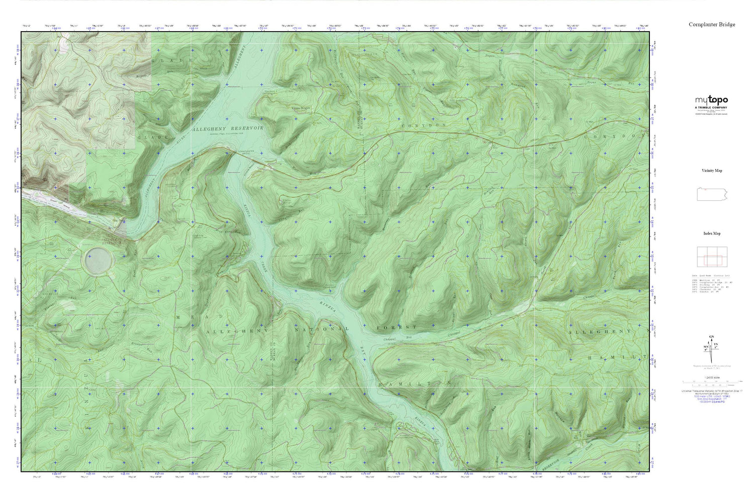
Topographic map of Cornplanter Bridge in the state of Pennsylvania. From the MyTopo Explorer Series.
This topo map features shaded relief and comes with UTM / MGRS and Latitude/Longitude grids.
For more than two decades, MyTopo has provided maps to the most adventurous among us.. those who love to explore our nation’s remote wilderness areas, climb our highest peaks, and trek across our vast public lands. This map is part of a curated collection of the most popular places for which MyTopo customers have designed maps. It is a “bucket list” of the most amazing places to hike, hunt, and explore.
This map contains the following named places: Allegheny National Fish Hatchery,Bent Run,Big Bend,Big Bend Recreation Site,Briggs Run,Camp Cornplanter,Campbell Mill Interpretive Trail,Campbell Run,Chappel Bay,Chappel Fork,Coal Knob,Coal Knob Lookout Tower,Coon Run,Cornplanter Bridge,Corps of Engineers Visitor Center,Devils Elbow Fishing Site,Dew Drop,Dewdrop,Dewdrop Campground,Dewdrop Run,Dewdrop Trail,Dixon Island,Duncle Corners Fishing Area,Dunkle Corners,Dunkle Trail,Dutchman Run,Elijah,Elijah Run,Geers Ferry,Hemlock Run,Hemlock Trail,Indian Run,Jackson Run,Jakes Rock Picnic Area,Jakes Rocks,Jakes Rocks Overlook,Jakes Run,Kettle Run,Kiasutha Recreational Area,Kinzua,Kinzua Bay,Kinzua Beach,Kinzua Beach Picnic Area,Kinzua Creek,Kinzua Dam,Kinzua Heights,Kinzua Point Information Center,Kinzua Pumped Storage Dam,Lightning Run,Mead Eddy Run,Morrison,Morrison Campground,Morrison Run,Mud Lick Run,North Fork Chappel Fork,Old State Road Campground,Paines Summit,Pine Grove Campground,Rimrock Overlook,Rimrock Picnic Area,Rimrock Trail Morrison Trail,Rock Run,Seneca Pumped Storage Reservoir,Township of Kinzua,Township of Mead,Tuttle Run,Tuttletown,Wolf Run


