MyTopo
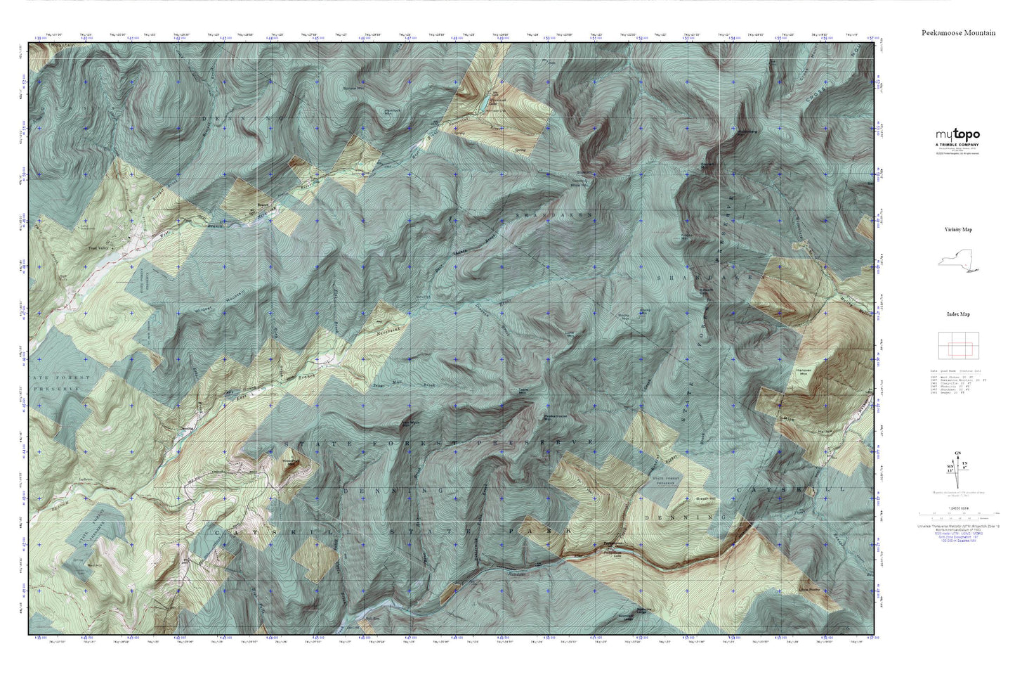
Peekamoose Mountain MyTopo Explorer Series Map
Couldn't load pickup availability
Topographic map of Peekamoose Mountain in the state of New York. From the MyTopo Explorer Series.
This topo map features shaded relief and comes with UTM / MGRS and Latitude/Longitude grids.
For more than two decades, MyTopo has provided maps to the most adventurous among us.. those who love to explore our nation’s remote wilderness areas, climb our highest peaks, and trek across our vast public lands. This map is part of a curated collection of the most popular places for which MyTopo customers have designed maps. It is a “bucket list” of the most amazing places to hike, hunt, and explore.
This map contains the following named places: 12740,Balsam Cap,Biscuit Brook,Branch,Breath Hill,Burroughs Range,Buttermilk Falls Brook,Camp Wawayanda,Claryville Volunteer Fire Department West Branch Substation,Clear Creek,Cornell Mountain,Deer Shanty Brook,Denning,Denning School,Denning State Camp,Donovan Brook,Dry Creek,East Moor Brook,Erts Brook,Flat Brook,Friday Mountain,Frost Valley,High Falls,High Falls Brook,Ladleton,Lone Mountain,North Shelter Creek,Peekamoose,Peekamoose Lake,Peekamoose Mountain,Picket Brook,Pigeon Brook,Red Hill,Riley Brook,Rocky Mountain,Seep Brook,Shelter Creek,Slide Mountain,Slide Mountain Fire Tower,South Shelter Creek,Table Mountain,Town of Denning,Tray Mill Brook,Van Wyck Mountain,West Dry Creek,West Moor Brook,Wildcat Mountain,Wittenberg Mountain,Woodhull Mountain


