MyTopo
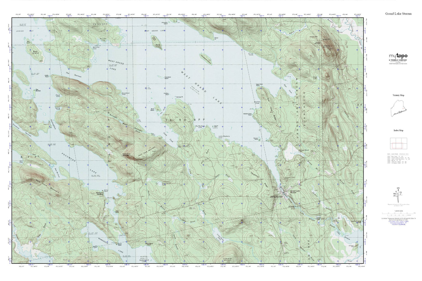
Grand Lake Stream MyTopo Explorer Series Map
Couldn't load pickup availability
Topographic map of Grand Lake Stream in the state of Maine. From the MyTopo Explorer Series.
This topo map features shaded relief and comes with UTM / MGRS and Latitude/Longitude grids.
For more than two decades, MyTopo has provided maps to the most adventurous among us.. those who love to explore our nation’s remote wilderness areas, climb our highest peaks, and trek across our vast public lands. This map is part of a curated collection of the most popular places for which MyTopo customers have designed maps. It is a “bucket list” of the most amazing places to hike, hunt, and explore.
This map contains the following named places: 04637,Bear Island,Bear Trap Landing,Big Falls,Big Mayberry Cove,Birch Island,Bonney Brook Lake,Burnt Point,Burroughs Brook,Caribou Rock,Coffin Point,Columbus Island,Dark Cove Mountain,Daugherty Ridge,Dawn Marie Beach,Deer Brook,Deer Brook Cove,Dyer Cove,Dyer Cove Point,Dyer Cove Ridge,Elsemore Landing,Farm Cove,Farm Cove Dam,Farm Cove Mountain,Flood Cove,Grand Lake Brook,Grand Lake Stream,Grand Lake Stream Dam,Grand Lake Stream Post Office,Grand Lake Stream State Fish Hatchery,Grand Lake Stream Volunteer Ambulance,Grand Lake Stream Volunteer Fire Department,Hardwood Island,Indian Landing,Jumbo Landing,Kitchen Cove,Kitchen Cove Point,Kole Kill Island,Little Mayberry Cove,Little River Lake,Munson Island,North Branch Rolfe Brook,Norway Point,Otter Point,Pocumcus Lake,Rocky Cove,Rolfe Brook,Rolfe Brook Pond,Scotts Brook,South Branch Rolfe Brook,Spring Cove,St. Cyr Point,Steamboat Cove,T6 ND BPP,The Birches,The Burn,The Gut,The Narrows,Unorganized Territory of North Washington,West Grand Lake


