MyTopo
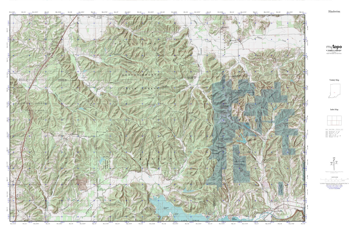
Hindustan MyTopo Explorer Series Map
Couldn't load pickup availability
Topographic map of Hindustan in the state of Indiana. From the MyTopo Explorer Series.
This topo map features shaded relief and comes with UTM / MGRS and Latitude/Longitude grids.
For more than two decades, MyTopo has provided maps to the most adventurous among us.. those who love to explore our nation’s remote wilderness areas, climb our highest peaks, and trek across our vast public lands. This map is part of a curated collection of the most popular places for which MyTopo customers have designed maps. It is a “bucket list” of the most amazing places to hike, hunt, and explore.
This map contains the following named places: 47468,Bald Knob,Bean Blossom Dam,Beanblossom Lake,Bear Creek Church,Bear Lake,Bear Lake Dam,Bear Wallow,Beecher Hollow,Brown Elementary School,Bryant Creek Lake,Bryant Creek Lake Dam,Bud Davis Hollow,Camp Creek,Cherry Lake,Cherry Lake Dam,Cracky Ridge,Deadman Hollow,Draper Hollow,East Fork Honey Creek,Egenolf Lake,Egenolf Lake Dam,Farr Ridge,Fleener,Gallahue Lake,Gallahue Lake Dam,Gallahue Valley Camp,Gorley Ridge,Gose Creek,Greasy Creek,Green Hollow,Happy Hollow,Hindustan,Honey Creek,Indiana Department of Natural Resources - Division of Forestry Fire Control Headquarters,Ira Hacker Ridge,Jack Creek,Landram Ridge,Lazy Creek,Lazy Lake,Lazy Lake Dam,Low Gap,Lutheran Church Camp Dam,Lutheran Hills Lake,Mahalasville,Mason Ridge,Mason Ridge Camping Area,Meetinghouse Ridge,Monroe Mills Post Office,North Fork Honey Creek,Oak Ridge Camping Area,Opossum Run,Payne Hollow,Pea Ridge,Persimmon Ridge,Peters Ridge,Precint Ridge,Reynolds Ridge,Robertson Creek,Robinson Hollow,Scout Ridge Nature Reserve,Shipman Ridge,Simpson Church,Stepp Cemetery,Stockton Lake,Stockton Lake Dam,Strickland Branch,Sweedy Hollow,Taylor Cemetery,Three Lakes Trail,Tincher Ridge,Township of Washington,Turkey Track,Union Church,Waycross,Wheeler Mission Campground,Wolf Creek,Zion Hill Church


