MyTopo
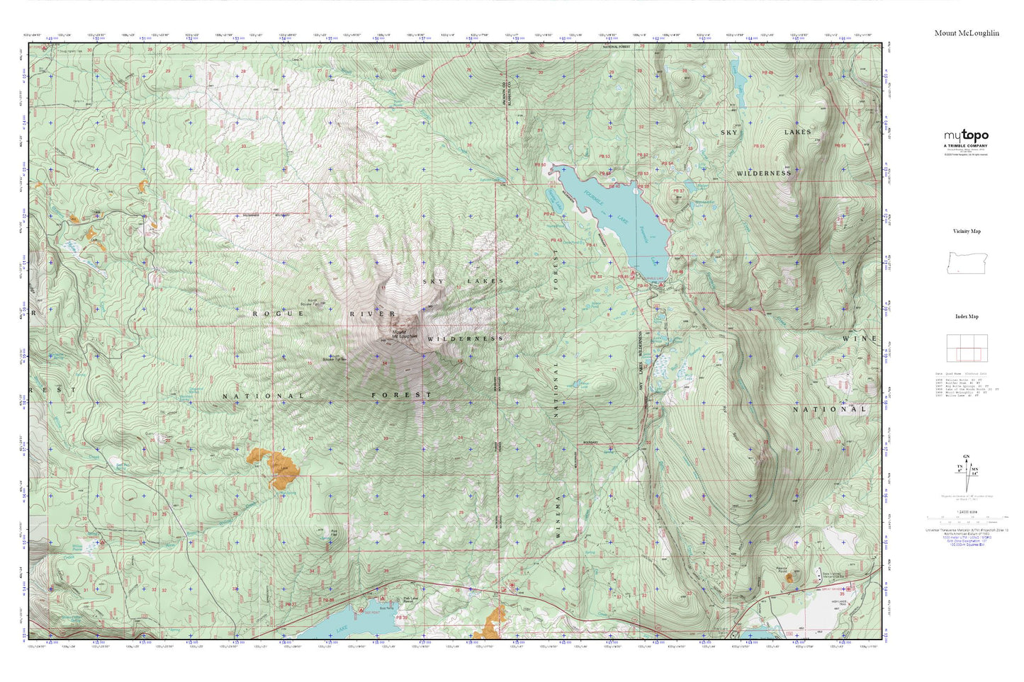
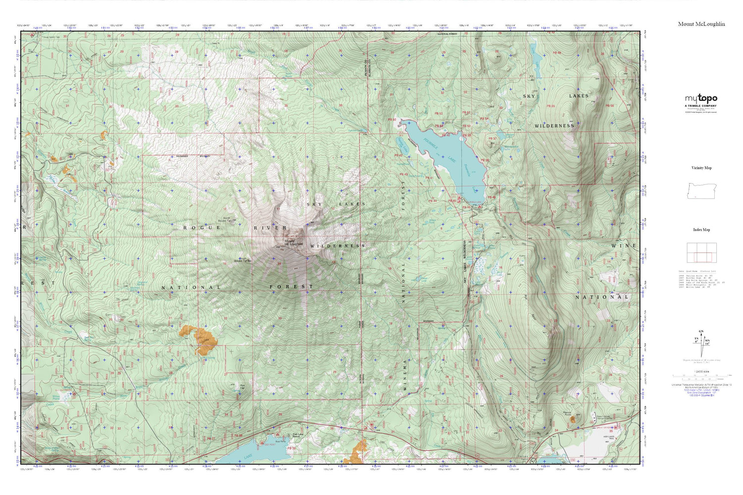
Mount McLoughlin MyTopo Explorer Series Map
Couldn't load pickup availability
Topographic map of Mount McLoughlin in the state of Oregon. From the MyTopo Explorer Series.
This topo map features shaded relief and comes with UTM / MGRS and Latitude/Longitude grids.
For more than two decades, MyTopo has provided maps to the most adventurous among us.. those who love to explore our nation’s remote wilderness areas, climb our highest peaks, and trek across our vast public lands. This map is part of a curated collection of the most popular places for which MyTopo customers have designed maps. It is a “bucket list” of the most amazing places to hike, hunt, and explore.
This map contains the following named places: Badger Lake,Bear Pan Spring,Bourbon Spring,Bull Swamp,Calamity Forest Camp,Cascade Canal,City of Medford Watershed,Crater Trail,Dead End Trail,Dogwood Spring,Dry Creek Camp,Fish Lake Recreation Site,Four Mile Lake Trail,Fourmile Lake,Fourmile Lake Boat Ramp,Fourmile Lake Dam,Fourmile Lake Recreation Site,Freye Lake,Lake Aphis,Lake Bernice,Lake Clovis,Lake Janice,Lake Malice,Lilly Pond,Long Creek,Medford Watershed,Mirror Pond,Mosquito Camp,Mosquito Fish Lake Trail,Mount McLoughlin,Mount McLoughlin Trail,Norris Pond,North Squaw Tip,Orris Pond,Porcupine Spring,Rye Flat,Rye Spring,Rye Spur,Skeeters Swamp,South Squaw Tip,Squaw Lake,Squaw Tip Trail,Summit Lake,Summit Sno-Park,Swan Creek,Twin Ponds Trail,Valley of the Rogue Dairy,Willow Prairie,Willow Prairie Recreation Site,Wolf Lake,Woodpecker Lake


