MyTopo
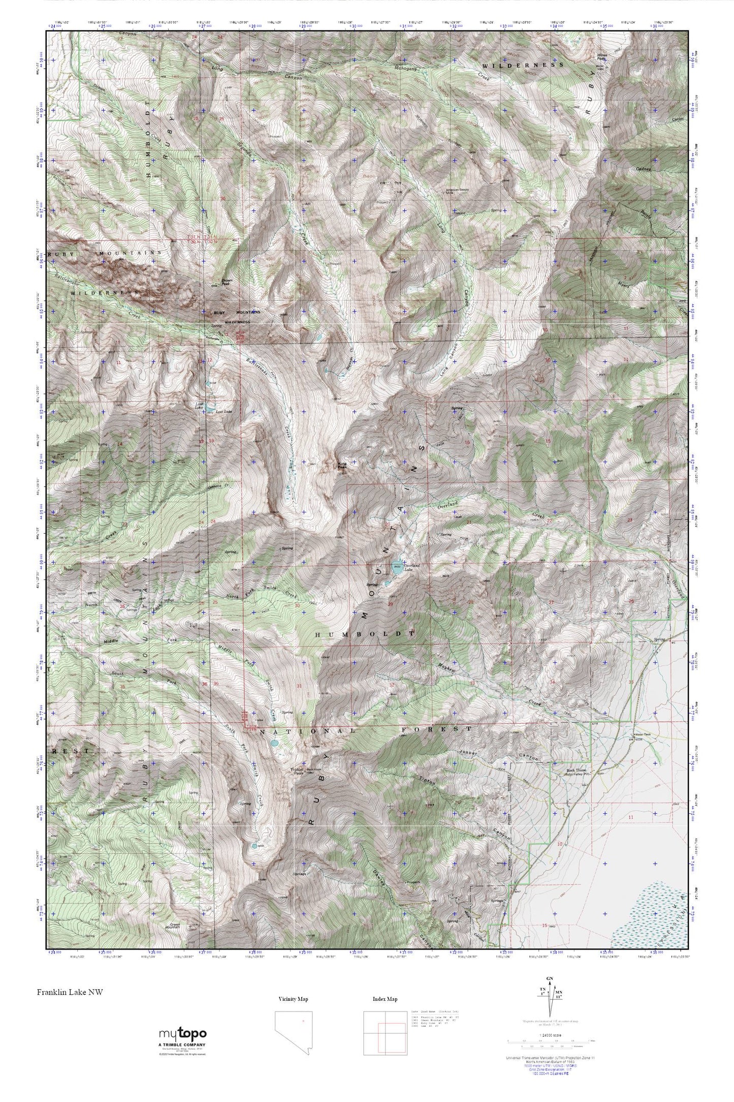
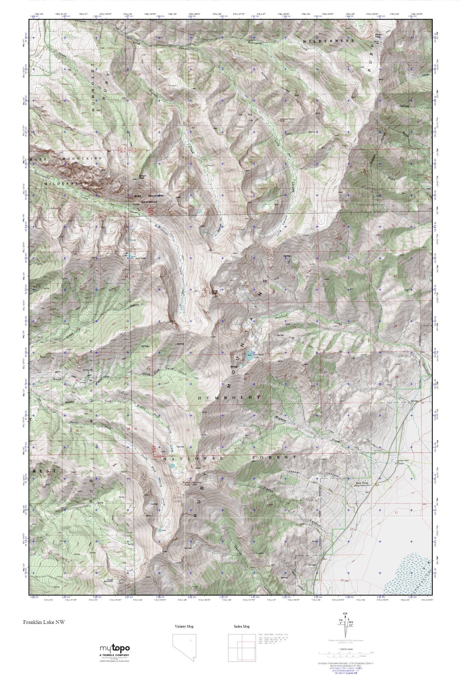
Ruby Crest Trail MyTopo Explorer Series Map
Couldn't load pickup availability
Topographic map of Ruby Crest Trail in the state of Nevada. From the MyTopo Explorer Series.
This topo map features shaded relief and comes with UTM / MGRS and Latitude/Longitude grids.
For more than two decades, MyTopo has provided maps to the most adventurous among us.. those who love to explore our nation’s remote wilderness areas, climb our highest peaks, and trek across our vast public lands. This map is part of a curated collection of the most popular places for which MyTopo customers have designed maps. It is a “bucket list” of the most amazing places to hike, hunt, and explore.
This map contains the following named places: American Beauty Mine,Drown Peak,Hargrove Mine,Jasper Canyon,Jasper Creek,King Peak,Lost Lake,Mahogany Creek,Overland Lake,Overland Lake Trail Head,Rock House,Rock House Ranch,Ruby Crest Trail,Ruby Mountains,Ruby Mountains Scenic Area,Ruby Valley Post Office,Ruby Valley Volunteer Fire Department,Segunda Creek,Smith Creek Trail,Tipton Peak,Wines Peak