MyTopo
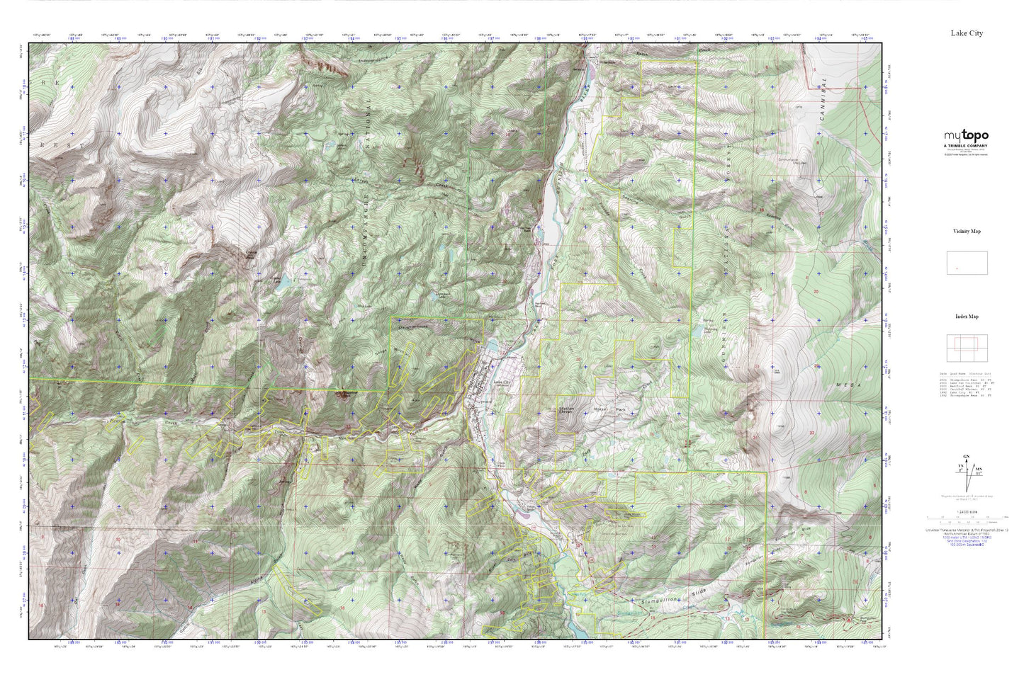
Lake City MyTopo Explorer Series Map
Couldn't load pickup availability
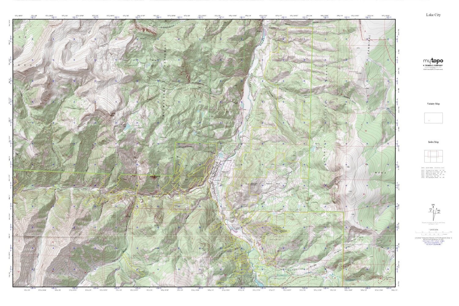
Topographic map of Lake City in the state of Colorado. From the MyTopo Explorer Series.
This topo map features shaded relief and comes with UTM / MGRS and Latitude/Longitude grids.
For more than two decades, MyTopo has provided maps to the most adventurous among us.. those who love to explore our nation’s remote wilderness areas, climb our highest peaks, and trek across our vast public lands. This map is part of a curated collection of the most popular places for which MyTopo customers have designed maps. It is a “bucket list” of the most amazing places to hike, hunt, and explore.
This map contains the following named places: 81235,Alpine Gulch,Argenta Falls,Belle of the East Mine,Belle of the West Mine,California Mine,Cleveland Mine,Cora Mine,Crooke Falls,Crystal Creek,Crystal Lake,Crystal Peak,Dauphin Mine,Dawn of Hope Mine,Deadman Gulch,East Fork Alpine Gulch,Fanny Fern Mine,Friends Creek,Galena Mine,Golden Wonder Mine,Happy Day Mine,Hay Lake,Henson,Henson Creek,Hidden Treasure Mine,Hinsdale County Emergency Medical Service,Hinsdale County Sheriff's Office,Hoosier Boy Mine,Horse Park,Lake City,Lake City Post Office,Lake City Volunteer Fire Department,Larson Creek,Larson Lakes,Lellie Mine,Modoc Creek,Monte Queen Mine,Nellie Creek,Neoga Mountain,New Cemetery,Old Cemetery,Owl Gulch,Palmetto Mine,Park Creek,Pelican Mine,Pole Creek,Pride of America Mine,Resorgimento Mine,Rodney Number One Mine,San Juan Ranch,Silver Coin Gulch,Slaughterhouse Gulch,Slumgullion Earthflow,Slumgullion Slide,Sparling Gulch,Station Eleven,Sugarloaf Rock,Swanson Airport,T Gulch,Thompson Lake,Town of Lake City,Treasure Falls,Ulay Mine,Ute and Ulay Group Mine,Ute Creek,Ute Mine,Valley View Ranch,Vickers Ranch,Wade Gulch,Waterdog Lake


