MyTopo
Wilson Mountain MyTopo Explorer Series Map
Couldn't load pickup availability
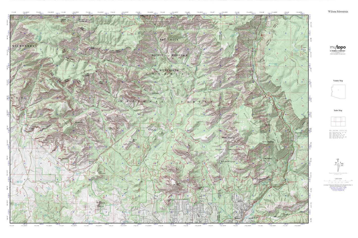
Topographic map of Wilson Mountain in the state of Arizona. From the MyTopo Explorer Series.
This topo map features shaded relief and comes with UTM / MGRS and Latitude/Longitude grids.
For more than two decades, MyTopo has provided maps to the most adventurous among us.. those who love to explore our nation’s remote wilderness areas, climb our highest peaks, and trek across our vast public lands. This map is part of a curated collection of the most popular places for which MyTopo customers have designed maps. It is a “bucket list” of the most amazing places to hike, hunt, and explore.
This map contains the following named places: 86336,AM Tank,Banjo Bill Campground,Bear Mountain,Bear Sign Canyon,Boynton Canyon,Boynton Pass,Bridle Trail,Brins Mesa,Capitol Butte,Chimney Rock,Coffeepot Rock,Concrete Tank,Devils Bridge,Devils Kitchen,Doe Mountain,Earls Tank,Fay Canyon,Fay Canyon Arch,Grassy Knolls,H S Canyon,Halfway Picnic Area,Hidden Tank,Huntley Tank,Indian Head Arch,Long Canyon,Lost Mountain,Lost Wilson Mountain,Loy Butte Five,Manzanita Campground,Maroon Mountain,Marshall Tank,Mescal Mountain,Midgely Bridge Picnic Area,Midgley Bridge,Mormon Canyon,Nolan Tank,Oak Creek Canyon,Oak Creek Canyon Census Designated Place,OK Tank,Red Canyon,Red Canyon Ranch,Red Rock-Secret Mountain Wilderness,Red Tank,Robinson Tank,School House Picnic Ground,Secret Cabin,Secret Canyon,Sedona-Oak Creek Golf Course,Slide Rock Swim Area,Soldier Pass,Steamboat Rock,Steamboat Tank,Sterling Canyon,Taylor Tank,Test Hole Tank,The Cockscomb,Vultee Arch,Vultee Arch Twenty Two,Wilson Canyon,Wilson Mountain,Wilson Tank


