MyTopo
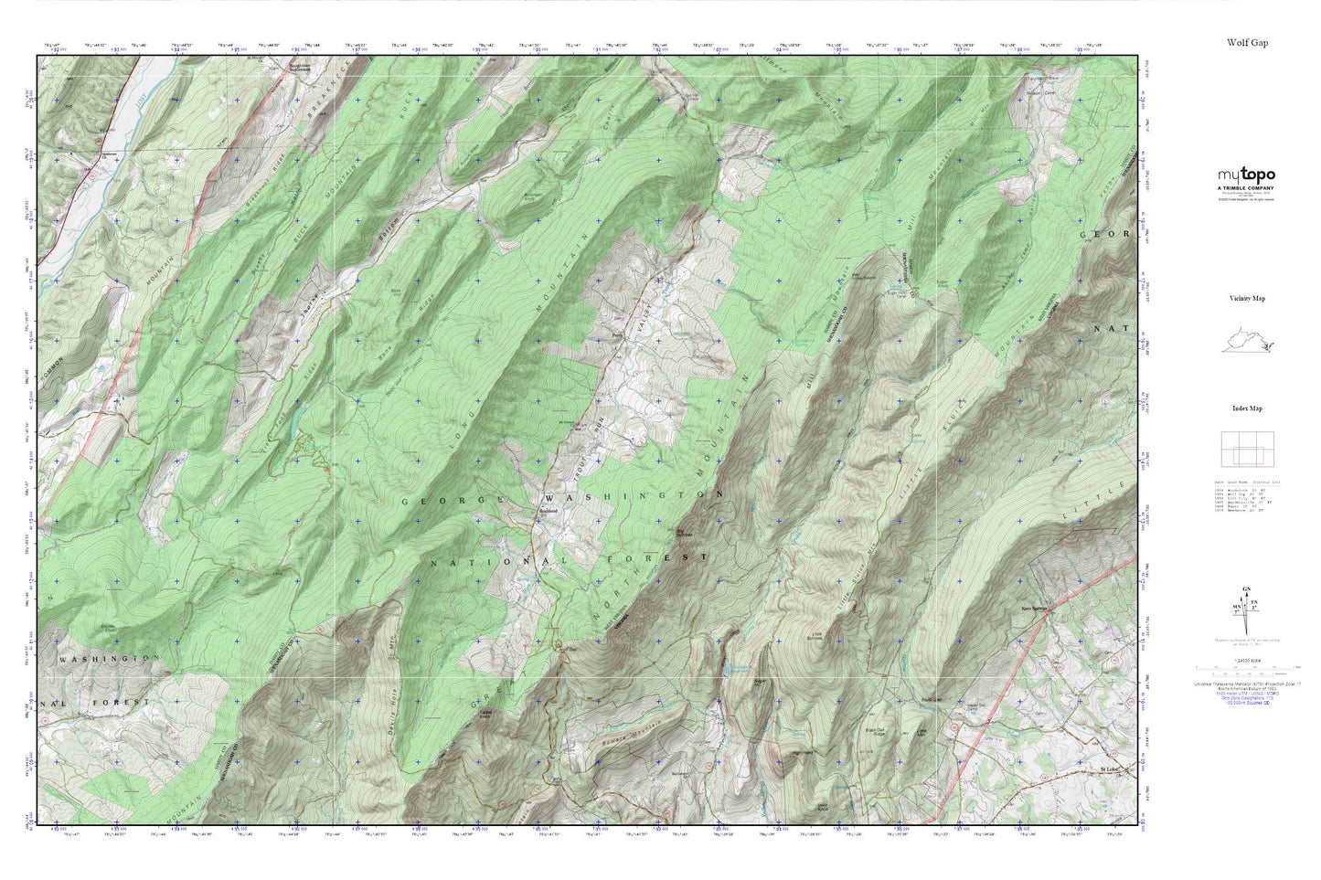
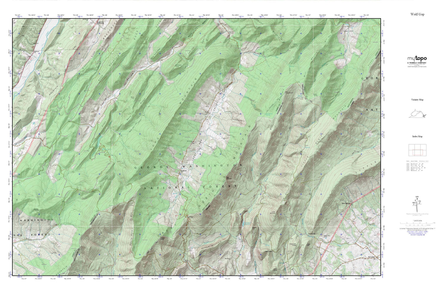
Wolf Gap MyTopo Explorer Series Map
Couldn't load pickup availability
Topographic map of Wolf Gap in the states of West Virginia, Virginia. From the MyTopo Explorer Series.
This topo map features shaded relief and comes with UTM / MGRS and Latitude/Longitude grids.
For more than two decades, MyTopo has provided maps to the most adventurous among us.. those who love to explore our nation’s remote wilderness areas, climb our highest peaks, and trek across our vast public lands. This map is part of a curated collection of the most popular places for which MyTopo customers have designed maps. It is a “bucket list” of the most amazing places to hike, hunt, and explore.
This map contains the following named places: 26810,Bens Hill,Bens Ridge,Big Schloss,Black Oak Ridge,Bob Rawlins Spring,Bollinger Knob,Bowers Mountain,Breakneck Ridge,Crack Whip Furnace Trail,Deep Gutter Run,Devils Hole Mountain,Fravel Run,Gerdie Vance Spring,Halfmoon Lookout Trail,Halfmoon Run,Happy Gap Camp,Heishman School,High Head,Hommon Mountain,Joseph Sager Spring,Little Mountain,Little Schloss,Little Sluice Mountain Trail,Long Mountain,Mill Creek,Mill Gap School,Mill Mountain,Mill Mountain Forest Service Repeater Site,Mill Mountain Trail,Mount Vernon Church,Peer Trail,Perry,Poplar Run,Rockcliff Lake,Rockcliff Lake Dam,Rockland,Sandstone Spring,Snyder Knob,Spruce Run,Stony Creek Trail,Stultz Gap,Sugar Hill,Sugar Knob,Sugar Knob Camp,Thorn Bottom Farm Pond Dam,Thorn Bottom Pond,Tibbet Knob,Tibbet Knob Trail,Trout Pond,Trout Pond Campground,Trout Pond Recreation Area,Trout Pond Ridge,Trout Pond Run,Trout Pond Trail,Trout Run Valley,Wardensville Wildlife Management Area,Wilkens Spring,Wolf Gap,Wolf Gap Recreation Area,Woodstock Dam,Woodstock Reservoir


