MyTopo
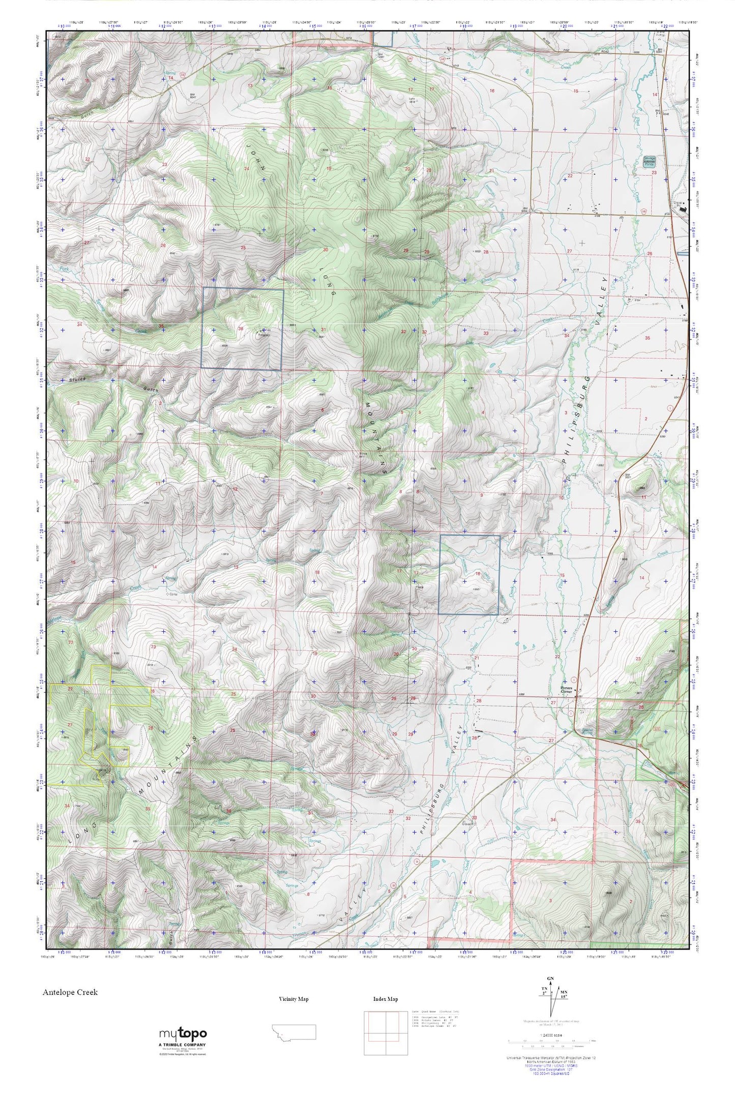
Philipsburg MyTopo Explorer Series Map
Couldn't load pickup availability
Topographic map of Philipsburg in the state of Montana. From the MyTopo Explorer Series.
This topo map features shaded relief and comes with UTM / MGRS and Latitude/Longitude grids.
For more than two decades, MyTopo has provided maps to the most adventurous among us.. those who love to explore our nation’s remote wilderness areas, climb our highest peaks, and trek across our vast public lands. This map is part of a curated collection of the most popular places for which MyTopo customers have designed maps. It is a “bucket list” of the most amazing places to hike, hunt, and explore.
This map contains the following named places: Bathhouse Creek,Corral,Cow Creek,Fessler Spring,Fred Burr Creek,Hawkeye Mine,Little Trout Creek,Marshall Creek Canal,Philipsburg Division,Porters Corner,Spring Creek,Trout Creek