MyTopo
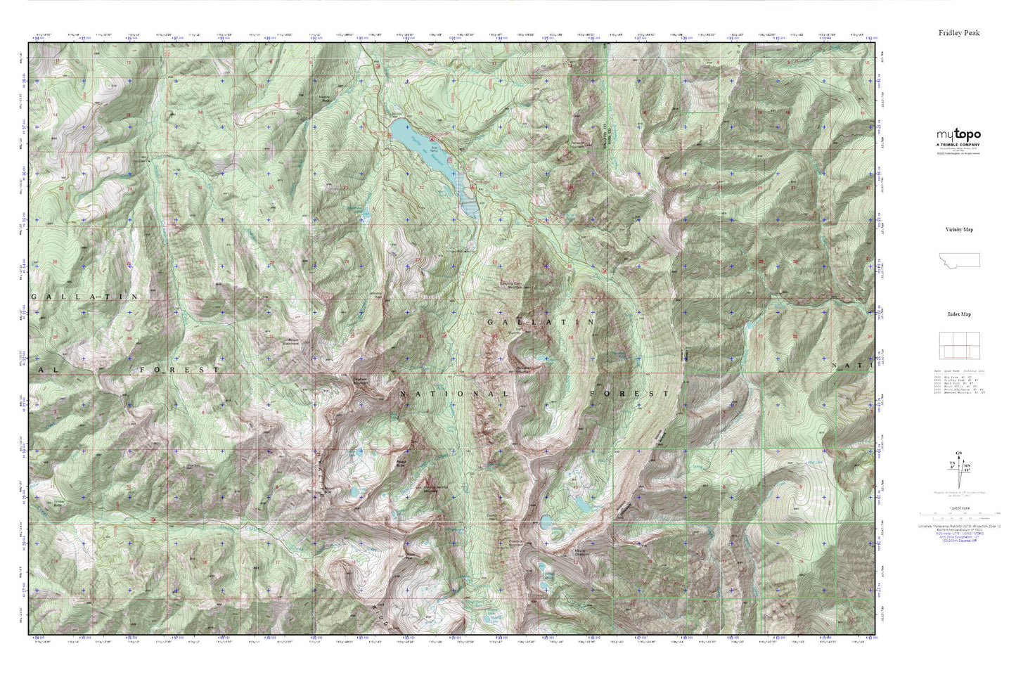
Fridley Peak MyTopo Explorer Series Map
Couldn't load pickup availability
Topographic map of Fridley Peak in the state of Montana. From the MyTopo Explorer Series.
This topo map features shaded relief and comes with UTM / MGRS and Latitude/Longitude grids.
For more than two decades, MyTopo has provided maps to the most adventurous among us.. those who love to explore our nation’s remote wilderness areas, climb our highest peaks, and trek across our vast public lands. This map is part of a curated collection of the most popular places for which MyTopo customers have designed maps. It is a “bucket list” of the most amazing places to hike, hunt, and explore.
This map contains the following named places: Alex Lowe Peak,Amber Butte,Apex Falls,Arch Falls,Arch Falls Natural Bridge,Arden Lake,Blackmore Campground,Blackmore Creek,Blackmore Lake,Butte Meadows Camp,Butte Meadows Ranger Station,Champagne Falls,Chisholm Cabin,Chisholm Campground,Crescent Lake,Cupids Heart,Divide Peak,East Fork Hyalite Creek,Elephant Mountain,Emerald Lake,Flanders Creek,Flanders Lake,Flanders Mountain,Fox Creek,Fridley Lakes,Grotto Falls,Heather Lake,Hood Creek,Hood Creek Campground,Horsetail Falls,Hyalite Reservoir,Hyalite Ridge,Jim Creek,Junior Hyalite Camp,Kinor Peak,Maid of the Mist Creek,Maid of the Mist Mountain,Middle Creek Dam,Mount Blackmore,Mount Bole,Mount Chisholm,Overlook Mountain,Palace Butte,Palace Butte Campground,Palace Lake,Palisade Falls,Palisade Falls Picnic Area,Palisade Mountain,Palisades Falls,Shower Creek,Shower Falls,Silken Skein Falls,Sleeping Giant Mountain,Swim Lake,The Mummy,Twin Falls,Window Rock,Window Rock Station


