MyTopo
Buck Point MyTopo Explorer Series Map
Couldn't load pickup availability
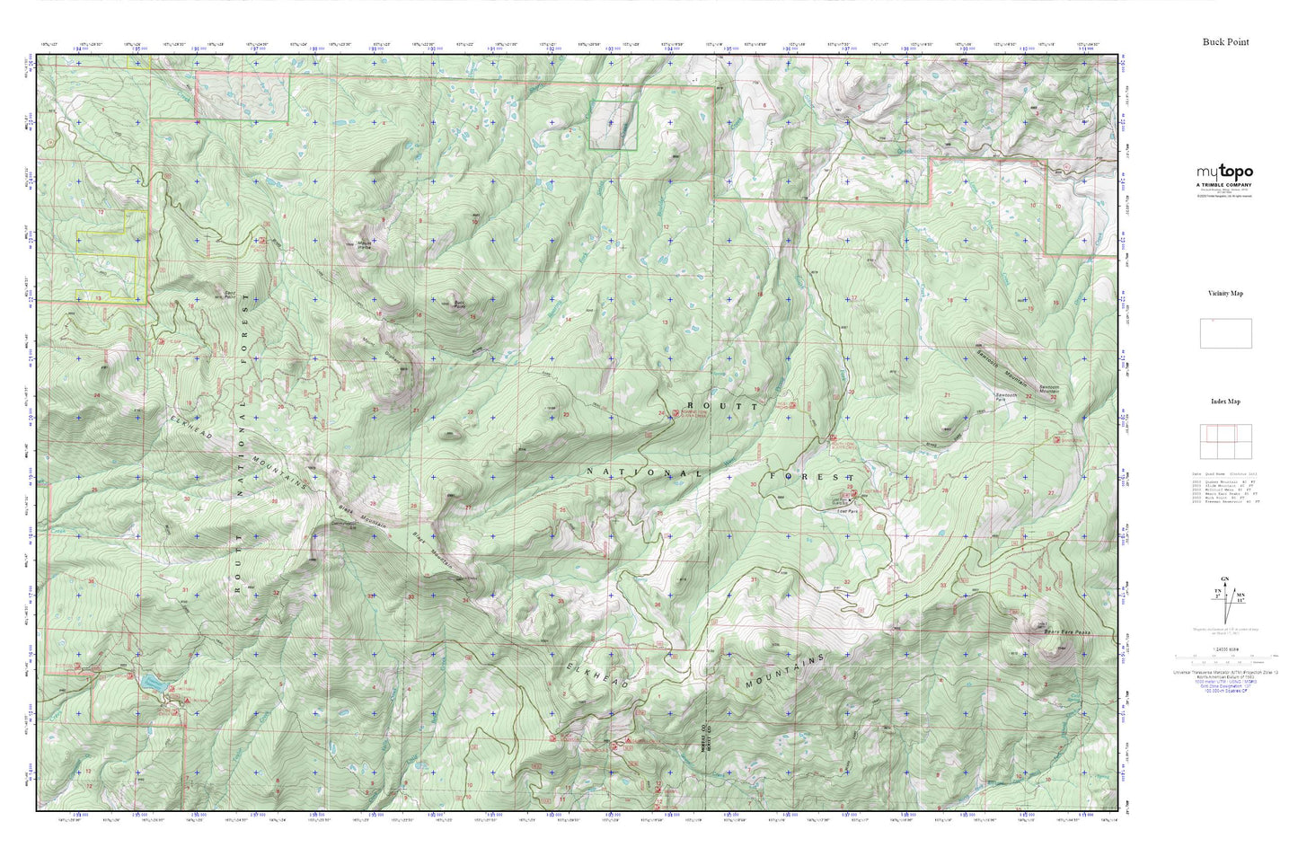
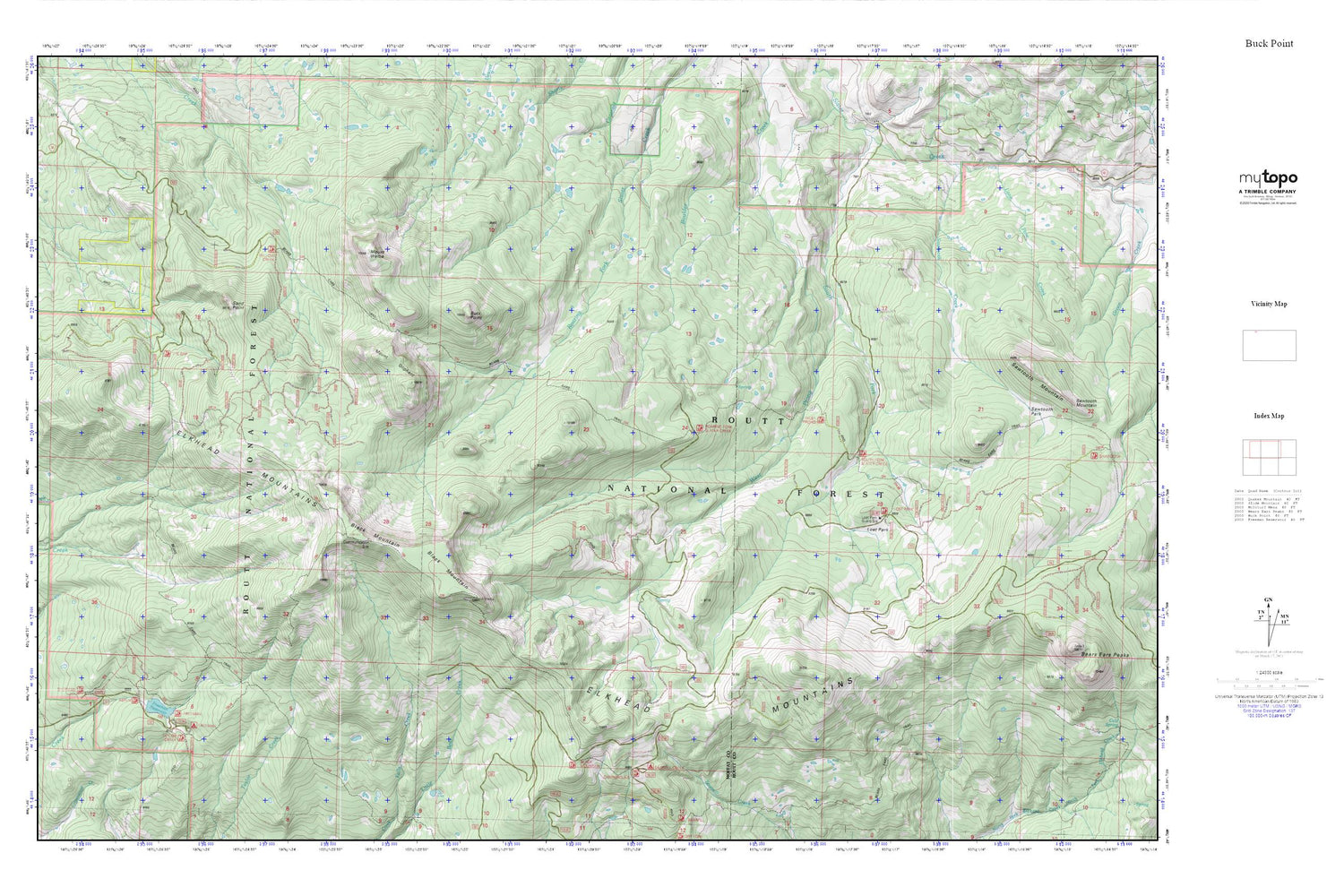
Topographic map of Buck Point in the state of Colorado. From the MyTopo Explorer Series.
This topo map features shaded relief and comes with UTM / MGRS and Latitude/Longitude grids.
For more than two decades, MyTopo has provided maps to the most adventurous among us.. those who love to explore our nation’s remote wilderness areas, climb our highest peaks, and trek across our vast public lands. This map is part of a curated collection of the most popular places for which MyTopo customers have designed maps. It is a “bucket list” of the most amazing places to hike, hunt, and explore.
This map contains the following named places: Bears Ears Trail,Black Mountain,Buck Point,Freeman Campground,Freeman Dam,Freeman Picnic Ground,Freeman Reservoir,John Sherman Organization Camp,Lone Pine Creek,Lost Park Forest Service Facility,Mount Oliphant,Mount Welba,Sand Point,Sawmill Creek Campground,Sawtooth Creek,West Prong South Fork Slater Creek