MyTopo
Webber Peak MyTopo Explorer Series Map
Couldn't load pickup availability
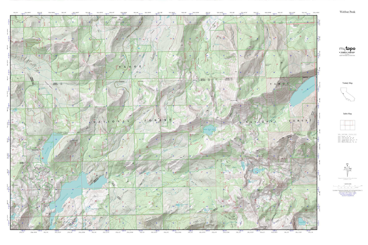
Topographic map of Webber Peak in the state of California. From the MyTopo Explorer Series.
This topo map features shaded relief and comes with UTM / MGRS and Latitude/Longitude grids.
For more than two decades, MyTopo has provided maps to the most adventurous among us.. those who love to explore our nation’s remote wilderness areas, climb our highest peaks, and trek across our vast public lands. This map is part of a curated collection of the most popular places for which MyTopo customers have designed maps. It is a “bucket list” of the most amazing places to hike, hunt, and explore.
This map contains the following named places: Anderson Mine,Basin Peak,Bear Valley,Bent Monument,Bull Flat,Burnt Flat,Buzzard Roost Lake,Cold Stream Meadow,Devils Oven Lake,Donner Division,Excelsior Mine,Fordyce Lake,Fordyce Lake Trail,Hartley Butte,Lake Fordyce 97-028 Dam,Meadow Lake,Meadow Lake 97-040 Dam,Meadow Lake Cemetery,Meadow Lake Hill,Meadow Lake Mine,Moscove Meadow,Mossy Pond,Mount Lola,Mount Lola Trail,North Creek,Paradise Lake,Paradise Valley,Sand Ridge Lake,Summit City,Tollhouse Lake,Warren Lake,Warren Lake Trail,White Rock Creek,White Rock Lake,White Rock Lake 97-049 Dam