MyTopo
Stephens Gap MyTopo Explorer Series Map
Couldn't load pickup availability
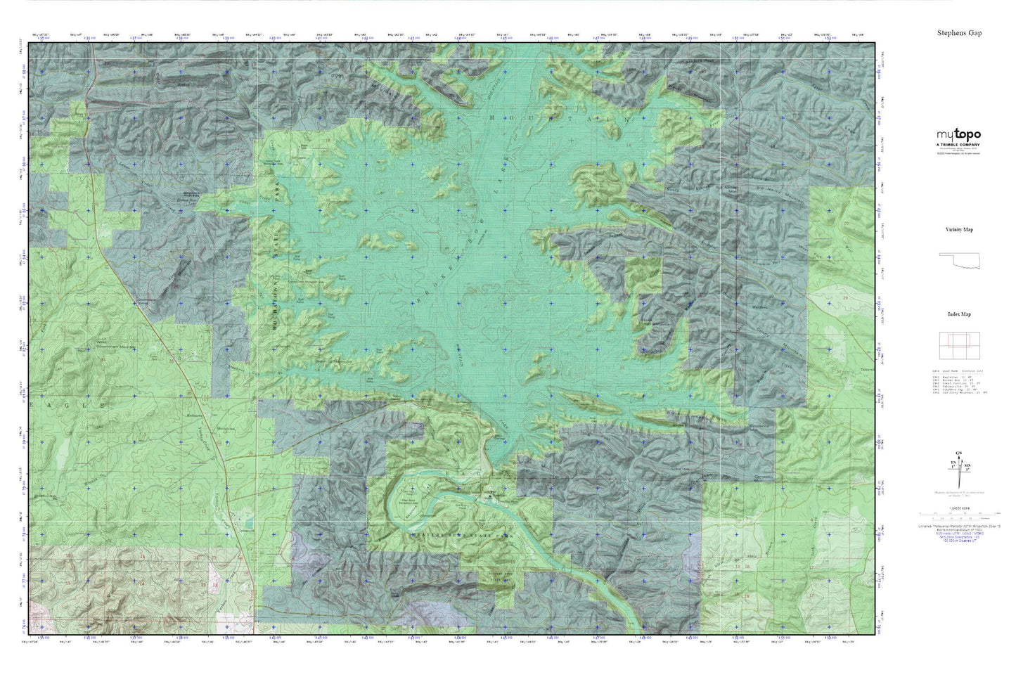
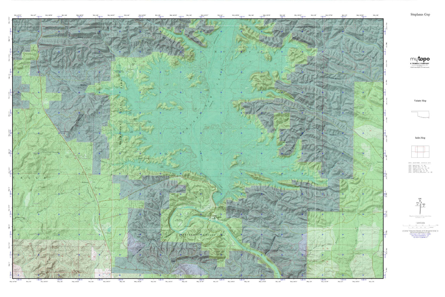
Topographic map of Stephens Gap in the state of Oklahoma. From the MyTopo Explorer Series.
This topo map features shaded relief and comes with UTM / MGRS and Latitude/Longitude grids.
For more than two decades, MyTopo has provided maps to the most adventurous among us.. those who love to explore our nation’s remote wilderness areas, climb our highest peaks, and trek across our vast public lands. This map is part of a curated collection of the most popular places for which MyTopo customers have designed maps. It is a “bucket list” of the most amazing places to hike, hunt, and explore.
This map contains the following named places: Arnet Gap,Beaver Creek,Beaver Lodge Nature Trail,Beavers Bend,Beavers Bend State Park,Bee Branch,Big Nancy Mountain,Biggam Creek,Boji Creek,Broken Bow Dam,Broken Bow Lake,Burke Branch,Calahan Lake,Candy Mountain,Carnasaw Creek,Carnasaw Mountain,Carson Creek,Carson Creek Recreation Area,Cedar Creek,Cedar Creek Recreation Area,County District 2,Devils Backbone,Dyer Creek,East Government Mountain,Egypt Creek,Fivemile Hollow,Government Spring,Government Springs,Grapevine Mountain,Hickory Branch,High Peak,Hochatown,Hochatown Cemetery,Hochatown Census Designated Place,Hochatown Mountain,Hochatown State Park,Hochatown Volunteer Fire Department,Lamas Branch,Little Round Mountain,Lower Cedar Creek,Nancy Branch,North Cedar Creek,Okmoname 089009 Reservoir,Oknoname 089009 Dam,Rattlesnake Bluff,River Bend Recreation Area,Rockpile Mountain,Rookpile Mountain,Round Mountain,Stephens Creek,Stephens Gap,Stephens Gap Branch,Stephens Gap Recreation Area,Walford Creek,West Government Mountain