MyTopo
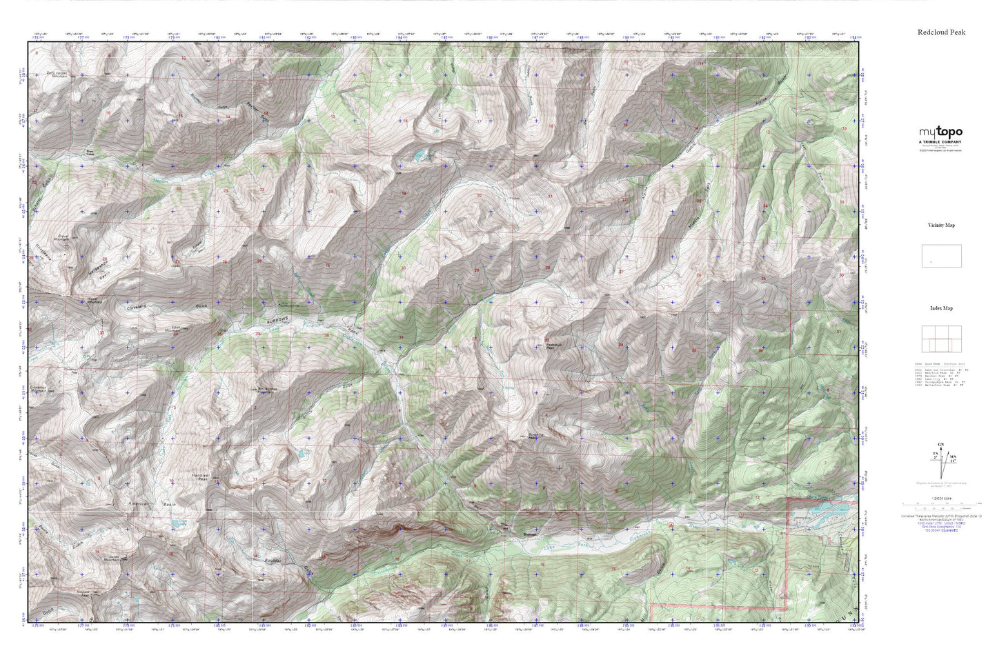
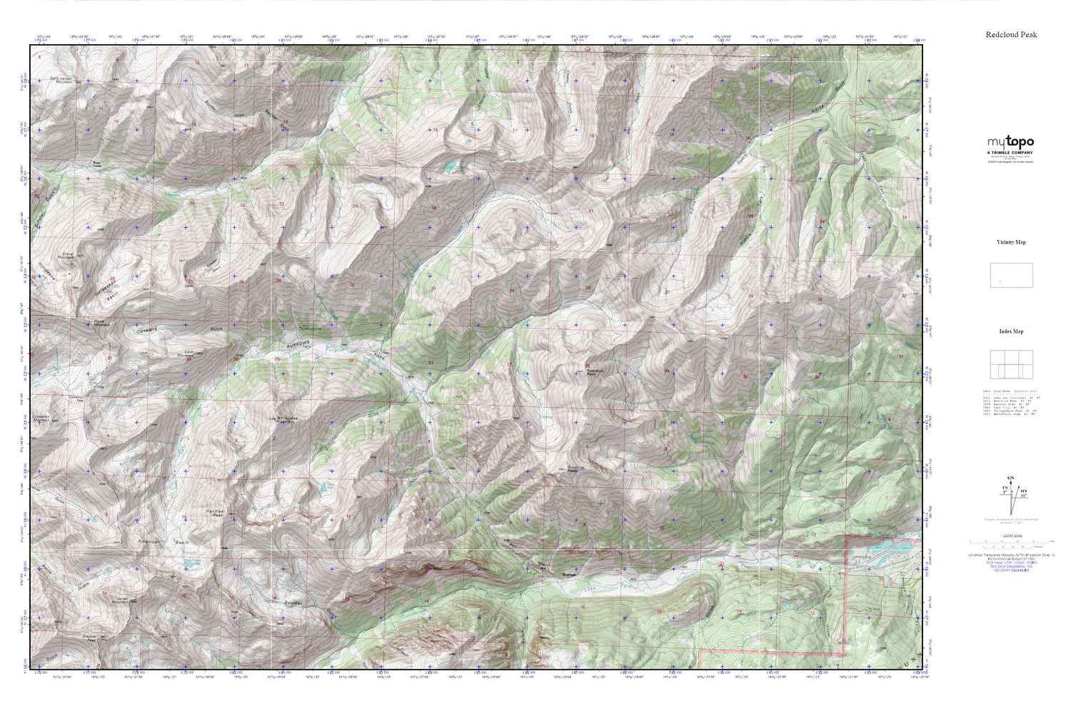
Redcloud Peak MyTopo Explorer Series Map
Couldn't load pickup availability
Topographic map of Redcloud Peak in the state of Colorado. From the MyTopo Explorer Series.
This topo map features shaded relief and comes with UTM / MGRS and Latitude/Longitude grids.
For more than two decades, MyTopo has provided maps to the most adventurous among us.. those who love to explore our nation’s remote wilderness areas, climb our highest peaks, and trek across our vast public lands. This map is part of a curated collection of the most popular places for which MyTopo customers have designed maps. It is a “bucket list” of the most amazing places to hike, hunt, and explore.
This map contains the following named places: American Basin,American Peak,Bent Creek,Bon Homme Mine,Boulder Gulch,Burrows Park,Burrows Park Group Mine,Campbell Creek,Cataract Gulch,Cinnamon Mountain,Cinnamon Pass,Cleveland Gulch,Cooper Creek,Cooper Lake,Cottonwood Creek,Detroit Hollister Mine,Dewey Mine,Dolly Varden Mine,East Fork Bent Creek,Edith Mountain,Fredericka Group Mine,Golconda Mine,Goodwin Mine,Gravel Mountain,Grizzly Gulch,Handies Peak,Henderson Mine,Horseshoe Basin,Hurricane Basin,Illinois Boy Mine,Jones Mountain,Middle Fork Alpine Gulch,Mill Creek Campground,Mill Gulch,Monticello Mine,Moro Mine,Ohio Mine,Oro-fino Tunnels Mine,Redcloud Peak,Rock Creek,Rose Cabin,Schafer Basin,Schafer Gulch,Seward County Mine,Sherman,Silver Creek,Sloan Lake,South Fork Silver Creek,Sunshine Peak,Whitecross,Whitecross Mountain,Whitecross Post Office,Wood Mountain


