MyTopo
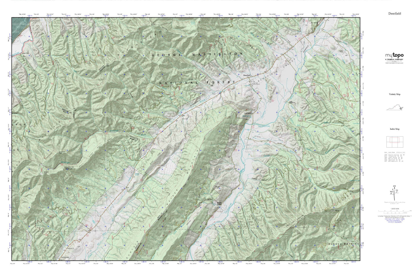
Deerfield MyTopo Explorer Series Map
Couldn't load pickup availability
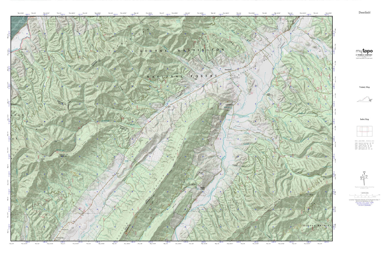
Topographic map of Deerfield in the state of Virginia. From the MyTopo Explorer Series.
This topo map features shaded relief and comes with UTM / MGRS and Latitude/Longitude grids.
For more than two decades, MyTopo has provided maps to the most adventurous among us.. those who love to explore our nation’s remote wilderness areas, climb our highest peaks, and trek across our vast public lands. This map is part of a curated collection of the most popular places for which MyTopo customers have designed maps. It is a “bucket list” of the most amazing places to hike, hunt, and explore.
This map contains the following named places: 24432,Alum Rock,Archer Knob,Back Draft,Bettys Hill,Broad Hollow,Broadway,Brushy Ridge,Charlie Lick Branch,Chestnut Ridge,Clayton Mill Creek,Corbett Branch,Daddy Run,Deerfield,Deerfield Census Designated Place,Deerfield Elementary School,Deerfield Guard Station,Deerfield Information Center,Deerfield Post Office,Deerfield Valley,Deerfield Volunteer Fire Rescue Department Company 2 Rescue 2,Dunlap Hollow,Fanny Hollow,Ferris Hollow,Fowler Spring,Fox Hollow,Frames Draft,Fridley Branch,Fridley Cove,Griffin Church,Guy Hollow,Hamilton Branch,Harris Hollow,Hughart Run,Hulit Draft,Jerkemtight Branch,Jerkemtight Trail,Jim Hollow,Kiser Hollow,Knox Lick Draft,Little Baltimore,Marble Valley,Marshall Draft Trail,Mays Hollow,McCrays Draft,Meadow Hollow,Mount Mary Cemetery,Mud Lick,North Mountain Trail,Northeast Peak,Phillips Lick,Rocky Spring,Rocky Spring Church,Ruleman Turkey Farm,Scott Hollow,Short Ridge,Staples Run,Still Run,Stony Lick,Tims Draft,Tizzle Branch,Tom Lee Draft,Walker Mountain,Wallace Peak,Wilderness School,Yancey Hollow


