MyTopo
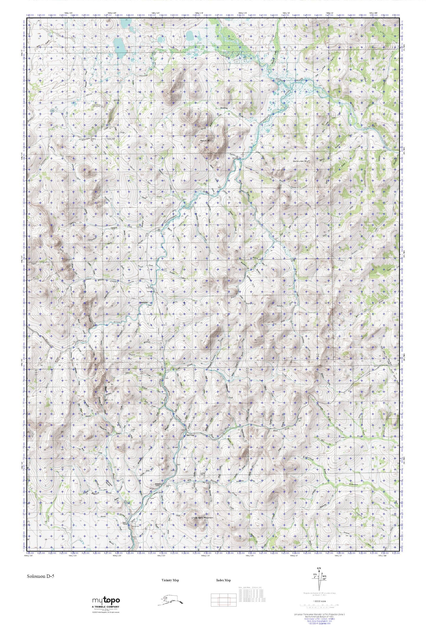
Solomon D-5 MyTopo Explorer Series Map
Couldn't load pickup availability
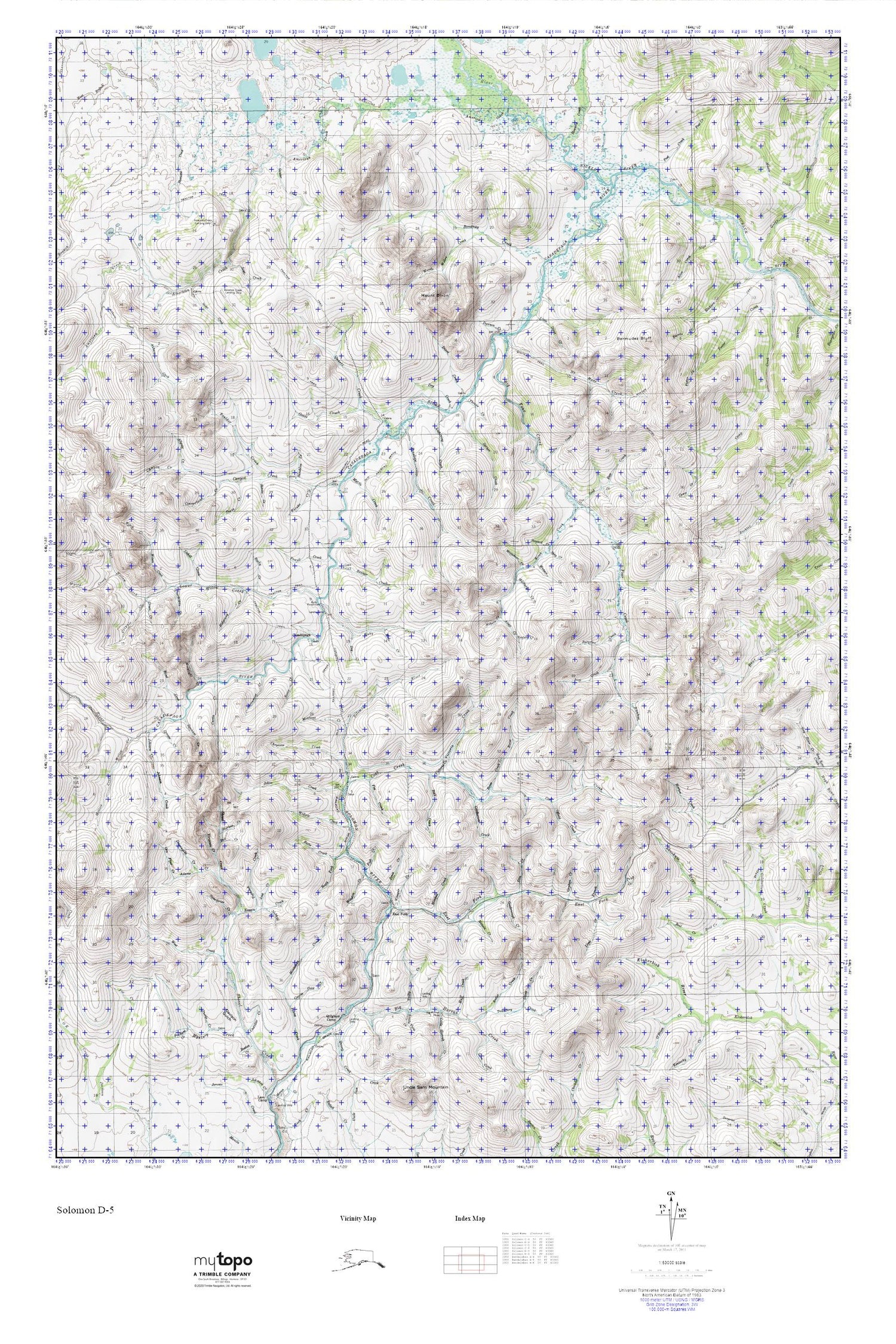
Topographic map of Solomon D-5 in the state of Alaska. From the MyTopo Explorer Series.
This topo map features shaded relief and comes with UTM / MGRS and Latitude/Longitude grids.
For more than two decades, MyTopo has provided maps to the most adventurous among us.. those who love to explore our nation’s remote wilderness areas, climb our highest peaks, and trek across our vast public lands. This map is part of a curated collection of the most popular places for which MyTopo customers have designed maps. It is a “bucket list” of the most amazing places to hike, hunt, and explore.
This map contains the following named places: Alice Creek,Alma Creek,Auburn Creek,Banner Creek,Ben Gulch,Bering Straits Alaska Native Regional Corporation,Big Four Creek,Birch Creek,Boise Creek,Bonanza Creek,Butte Creek,Canyon Creek,Casadepaga,Castle Creek,Cheyenne Creek,Coal Creek,Conway Creek,Davison Creek,Dawson Creek,Dixon Creek,Dog Creek,Dry Creek,East Fork,East Fork Solomon River,Empire Gulch,Etta Creek,Eureka Creek,Fish Creek,Fool Creek,Fox Creek,Gold Run Creek,Goldbottom Creek,Goldmoon Creek,Goodenough Creek,Goose Creek,Happy Valley Creek,Helena Creek,Homestake Gulch,Johns Creek,Jones Creek,Lightning Creek,Lime Creek,Little Dixie Creek,Lower Willow Creek,Matson Creek,Military Creek,Mitchell Creek,Montana Creek,Moonshine Creek,Mount Dixon,Mud Creek,Myrtle Creek,No Mans Creek,Nome Census Area,Nome Census Subarea,Nugget Creek,Offield Creek,Orphan Creek,Penelope Creek,Powell Creek,Quartz Creek,Rock Creek,Ruby Creek,Ruby Roadhouse,Shea Creek,South Fork,South Fork Butte Creek,Spruce Creek,Steward Creek,Sunshine Creek,Thrope Creek,Ventura Creek,Victoria Creek,Vinegar Creek,Watson Creek,Willow Creek,Winston Creek,Woods Willow Creek


