MyTopo
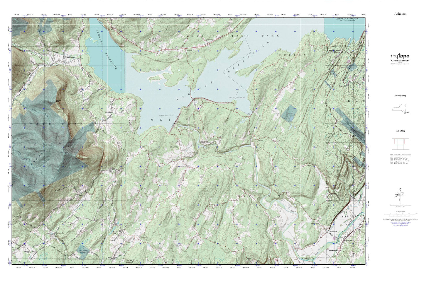
Ashokan MyTopo Explorer Series Map
Couldn't load pickup availability
Topographic map of Ashokan in the state of New York. From the MyTopo Explorer Series.
This topo map features shaded relief and comes with UTM / MGRS and Latitude/Longitude grids.
For more than two decades, MyTopo has provided maps to the most adventurous among us.. those who love to explore our nation’s remote wilderness areas, climb our highest peaks, and trek across our vast public lands. This map is part of a curated collection of the most popular places for which MyTopo customers have designed maps. It is a “bucket list” of the most amazing places to hike, hunt, and explore.
This map contains the following named places: 12461,12491,12494,Acorn Hill Church,Ashokan Bridge,Ashokan Dam,Ashokan Reservoir,Ashokan Reservoir Aerator,Ashokan Reservoir East Basin,Ashokan Ridge,Atwood,Atwood School,Beaver Lake,Brodhead,Brodhead School,Bushkill School,Butternut Creek,Camp High Point,Davis Corners,District 12 School,District 3 School,Dry Brook,High Point,Kanape Jeep Trail,Krumville,Krumville Cemetery,Krumville School,Lapla,Lower Spillway School,Maltby Hollow Brook,Mombaccus Mountain,Olive Bridge School,Olive Free Library,Olive Volunteer Fire Department 1 Olivebridge Company 1,Olive Volunteer Fire Department 1 Samsonville Company 4,Olive Volunteer Fire Department 1 West Shokan Company 3,Olivebridge,Olivebridge Post Office,Pacama,Samsonville,Samsonville School,Shokan,South Mountain,Spillway School,State University College at New Paltz Camp,Stone Ridge Heliport,The Vly,The Vly Chapel,Tongore Cemetery,Town of Olive,Ulster County,Vly Atwood Volunteer Fire Company,Vly School,Watson Hollow,West Shokan,West Shokan Post Office,West Shokan School,Winchell,Winchell School


