MyTopo
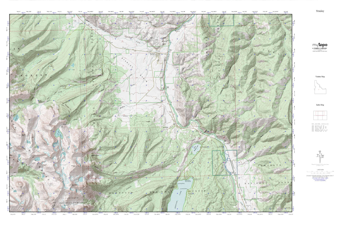
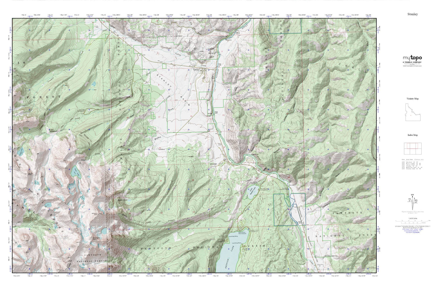
Stanley MyTopo Explorer Series Map
Couldn't load pickup availability
Topographic map of Stanley in the state of Idaho. From the MyTopo Explorer Series.
This topo map features shaded relief and comes with UTM / MGRS and Latitude/Longitude grids.
For more than two decades, MyTopo has provided maps to the most adventurous among us.. those who love to explore our nation’s remote wilderness areas, climb our highest peaks, and trek across our vast public lands. This map is part of a curated collection of the most popular places for which MyTopo customers have designed maps. It is a “bucket list” of the most amazing places to hike, hunt, and explore.
This map contains the following named places: Alpine Peak,Boundary Creek,Buckhorn Roadside Rest,Chinook Bay Campground,City of Stanley,Cleveland Creek,Fishhook Creek,Glacier View Campground,Goat Creek,Goat Falls,Goat Lake,Grover Gulch,Iron Creek,Iron Creek Campground,Little Redfish Lake,Marshall Lake,Meadow Creek,Mountain View Campground,North Shore Picnic Ground,Point Campground,Redfish Lake Creek,Redfish Lake Lodge,Redfish Lake Visitors Center,Redfish Outlet Campground,Sandy Beach Boat Ramp,Sawtooth Fish Hatchery,Sawtooth Range,Sawtooth Valley,Sawtooth Valley Rural Fire Department,Sheep Bridge,Stanley,Stanley Airport,Stanley Basin,Stanley Cemetery,Stanley District Ranger Office,Stanley Elementary - Junior High School,Stanley Museum Recreation Site,Stanley Post Office,Sunny Gulch,Sunny Gulch Campground,Thompson Peak,Valley Creek,Valley Creek Ranger Station,Williams Peak


