MyTopo
2025 Forest Service Topo Map of Palo Alto Virginia
Regular price
$16.95
Regular price
Sale price
$16.95
Unit price
per
Couldn't load pickup availability
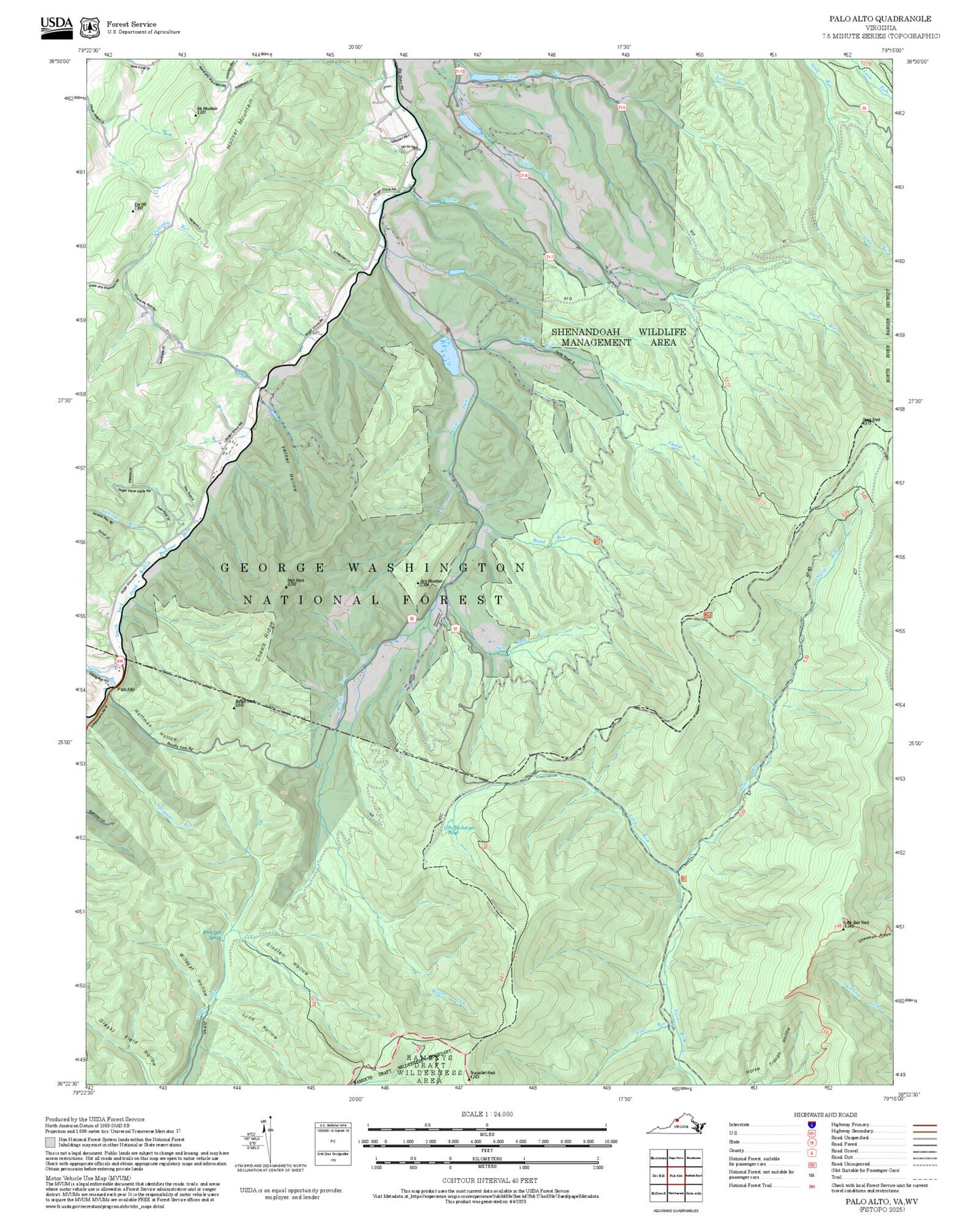
This 2025 FS Topo topographic map of Palo Alto in the state of Virginia is a quad print with shaded relief, up-to-date and ready for any adventure. Printed on waterproof paper, it shows all Forest Service roads, trails, campgrounds, trailheads, water features, and contour lines in high detail. It is an ideal guide to USFS recreational features for your wilderness adventures.
Produced by the United States Forest Service, this map is a beautiful and functional outdooor companion for hiking, backpacking, hunting, and camping. It captures the beauty and majesty of Virginia's forest landscapes administered by the USFS.