MyTopo
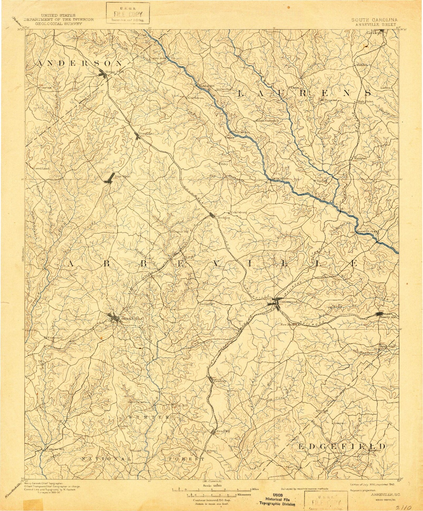
Historic 1892 Abbeville South Carolina 30'x30' Topo Map
Couldn't load pickup availability
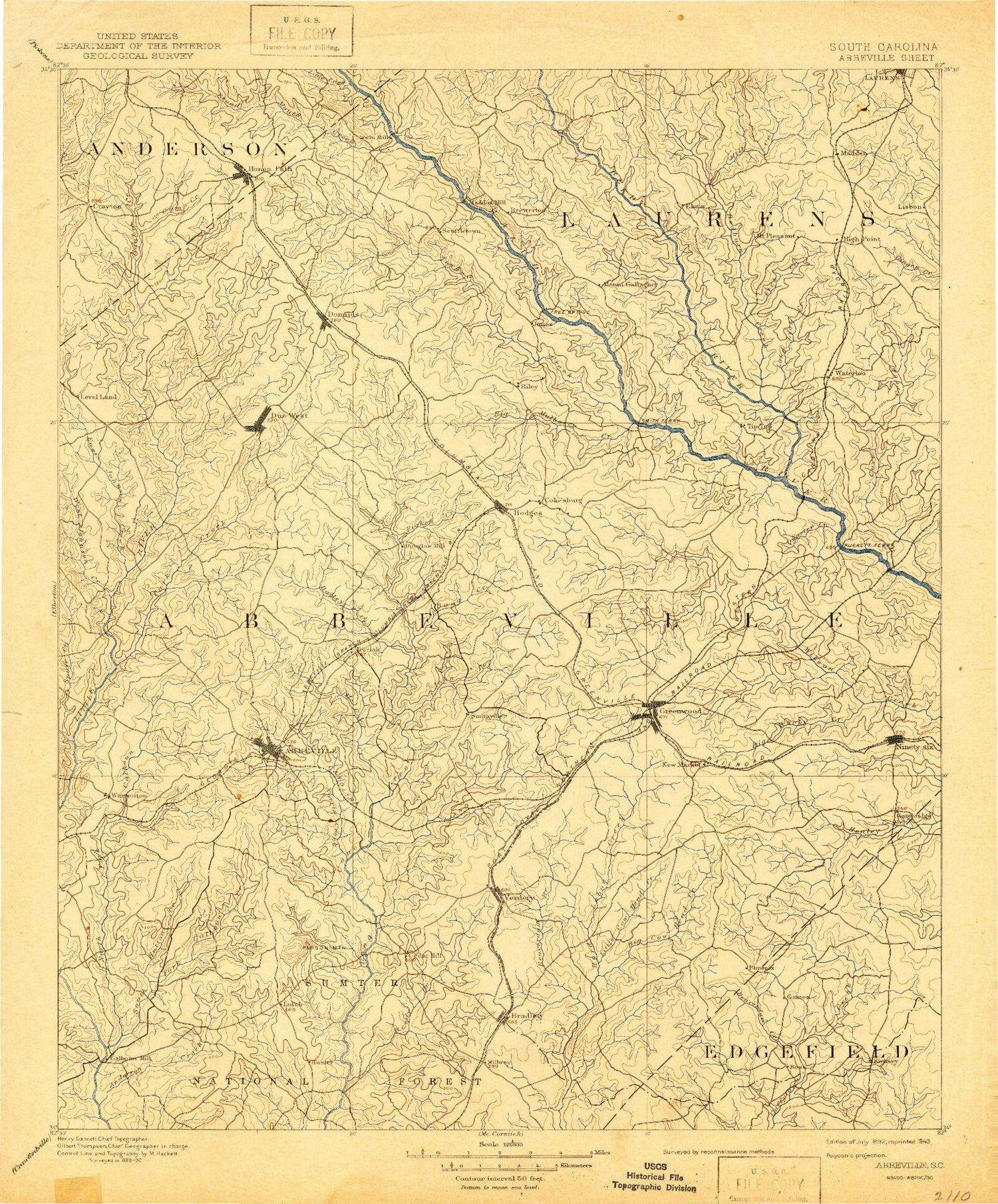
Historical USGS topographic map of Abbeville in the state of South Carolina. Scale: 1:125000. Print size: 17" x 24"
This map was published in 1892 and is in the following counties: Abbeville, Anderson, Greenville, Greenwood, Laurens, McCormick.
The map contains contour lines, roads, rivers, towns, streams, and lakes. Printed on high-quality waterproof paper with UV fade-resistant inks.
Contains the following named places: Blacks Creek, Camp Creek, Cane Creek, Cherokee Creek, Chickasaw Creek, Dirty Creek, Goose Creek, Johnson Creek, Legion Lake, Little Creek, Long Branch, Long Branch, Long Lick Branch, Marion Branch, Marion Creek, McMillan Park, Mount Gallagher, Mountain Creek, Poplar Springs, Quarter Creek, Reedy River, Ropers Creek, Scout Branch, The Forks, Turkey Creek, Walnut Creek, Ninety Six National Historic Site, Harris Springs, Abbeville Historic District, Bethel, Bethiah, Brick House, Broadmouth, Cedar Springs Historic District, Cold Spring, Court Square, Dear Shoals, Drake, Erskine College-Due West Historic District, Foxville Crossroads, Gilgal, Iris, Johnson Shoals, Maddox Shoals, Murray Creek, Rapley Shoals, Rutledge Shoals, Sharon, Shiloh, Vermillion, Warrenton, West View, Winona, Boneo, East Buckhorn Creek, West Buckhorn Creek, Adams Branch, Arborville, Armstrong Branch, Bailey Creek, Beaverdam Branch, Beaverdam Creek, Bell Creek, Big Bottom, Blakedale, Blue Hill Creek, Bowie Branch, Bowie Branch, Candy Branch, Cedar Lake, Cedar Springs, Chapel Branch, Chiles Branch, Church Branch, Church Branch, Clatworthy Crossroads, Cochran Branch, Coleman Branch, Cow Branch, Cunning Ford Creek, Double Branch, Dry Creek, Dudley Creek, Dunns Creek, Edwards Branch, Epworth Camp, Fell Branch, Flagreed Creek, Flat Branch, Gaines Crossroads, George Devlin Branch, Gibson Creek, Grays Creek, Grays Creek, Gypsy Creek, Hammond Branch, Harris, Hartzog Branch, Horeb Branch, Horton Branch, Jim Knox Branch, Johns Creek, Keller Branch, Little Cowhead Creek, Little Curltail Creek, Little Johns Creek, Little Persimmon Branch, Long Branch, Lott Creek, Mathews Heights, McCord Creek, McCord Creek, McGill Branch, Miller Branch, Morrah Branch, Morrison Branch, Mountain Creek, Norris Creek, Panola Branch, Park Creek, Parker Creek, Parsons Mountain, Penny Creek, Persimmon Branch, Pickens Creek, Puckett Branch, Redd Creek, Reedy Branch, Reid Creek, Rocky Branch, Rushville, Sample Branch, Sawney Creek, Stillhouse Branch, Stillhouse Branch, Stockman Branch, Stockman Park, Tanyard Branch, Tanyard Branch, The Willows, Tolbert Branch, Turner Branch, Watts Branch, Wharton Branch, Sumter National Forest, Midway Hunt Campground, Fell Hunt Campground, Parsons Mountain Lake Campground, Abbeville County Farm, Blue Heaven, Bradley, Charleston Crossroads, Epworth, Friendship, Greenwood Village, Grendel Village, High Point, Hodges, Irvines Landing, Keowee, Kirksey, Lake Shores, Laurel Hill, Level Land, Millers Mill, Mount Olive, Panola Village, Princeton, Salak, South Greenwood, Verdery, Wade Heights, Waterloo, Watts, Burris, Anderson Plaza Shopping Center, Aspen Heights, Augusta Fields, Beechwood, Belle Meade, Black, Boyds Mill, Breckridge, Briarcliff, Brookside, Canterbury, Cedar Lake, Cherokee Hills, Cherry Hill, Cokesbury Hills Golf Course, Colonial Heights, Country Homes, Crestview, Crosscreek Mall Shopping Center, Dalewood, Druid Hills, Edgemere, Ellenwood Acres, Emerald Place, Fairforest, Fawn Brook, Forest Hills, Glendale, Greenwood Country Club, Greenwood Plaza Shopping Center, Greenwood Professional Park, Greenwood Recreation Center, Hampton Place Shopping Center, Harbor Heights, Hartzog Acres, Highland Forest, Hill and Dale, Hyde Park, Idlewood, Irving, Kimbrook, Lakewood Heights, Locksley Hall, Lodge Grounds, Magnolia Place, McCombs, McKellar Farms, North Creek Shopping Center, North Hills Estates, Northfall Acres, Page Place, Parkwood, Pine Grove Hills, Pinehurst, Ponderosa Heights, Raintree, Rock Creek, Roman Acres, Saluca, Sheffield, Simmons


