MyTopo
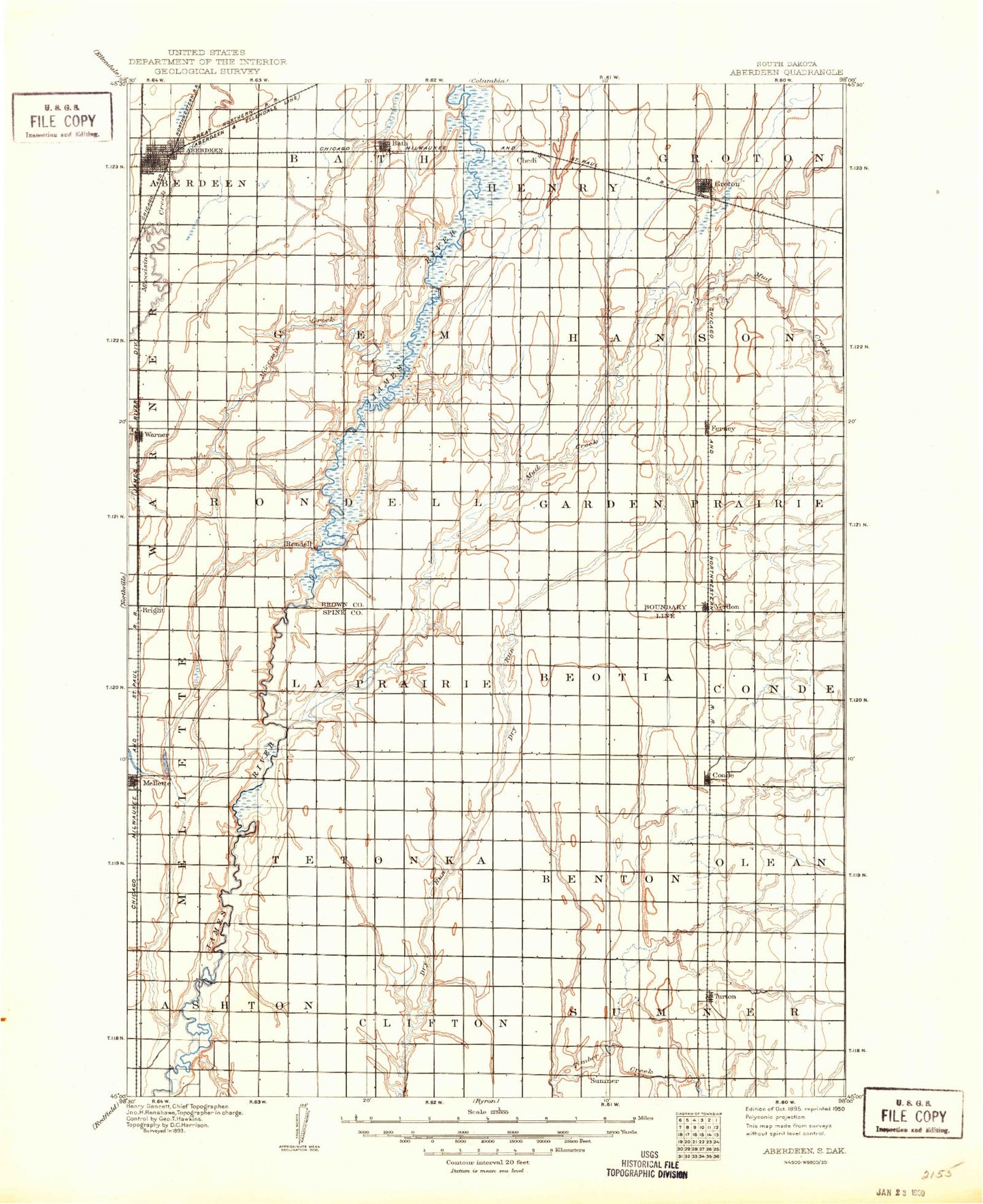
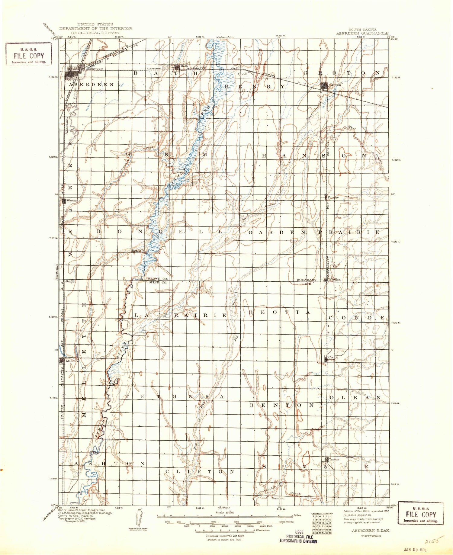
Historic 1895 Aberdeen South Dakota 30'x30' Topo Map
Couldn't load pickup availability
Historical USGS topographic map of Aberdeen in the state of South Dakota. Scale: 1:125000. Print size: 17" x 24"
This map was published in 1895 and is in the following counties: Brown, Spink.
The map contains contour lines, roads, rivers, towns, streams, and lakes. Printed on high-quality waterproof paper with UV fade-resistant inks.
Contains the following named places: Aberdeen, Aldrich Park, Anderson Park, Armadale Park, Bath, Brentford, Conde, Ferney, Foot Creek, Groton, James, Melgaard Park, Mellette, Moccasin Creek, Mud Creek, Pigors Dam, Randolph, Stratford, Verdon, Warner, Super City Shopping Center, Duxbury, Gallup, Bath Corner, Nahon, Armadale Grove, Melrose Addition, Jobee Acres, Elmwood Acres, Turton, City of Aberdeen, Town of Brentford, City of Conde, City of Groton, City of Mellette, Town of Stratford, Town of Turton, Town of Verdon, Town of Warner, Township of Turton, Township of Sumner, Township of Olean, Township of Benton, Township of Clifton, Township of Jefferson, Township of Conde, Township of Beotia, Township of La Prairie, Township of Tetonka, Township of Ashton, Township of Armadale, Township of Mellette, Township of Bates, Township of Garden Prairie, Township of East Hanson, Township of West Hanson, Township of Gem, Township of Hanson, Township of Groton, Township of Henry, Township of Bath, Township of West Rondell, Township of East Rondell, Hutterville Colony, Fossum Field, Moccasin Creek Softball and Soccer Complex, Jerde Field, Wachs Arena


