MyTopo
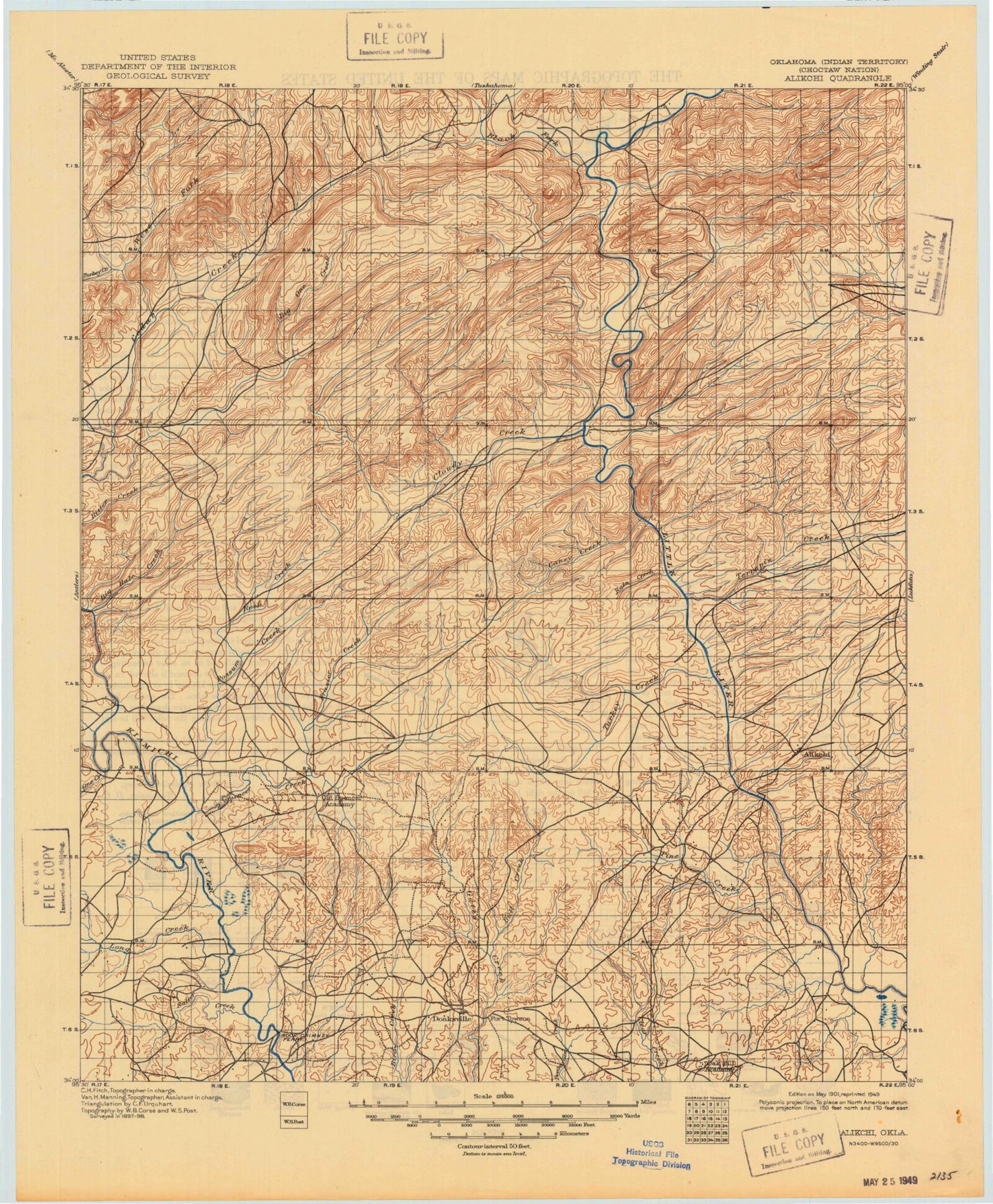
Historic 1901 Alikchi Oklahoma 30'x30' Topo Map
Couldn't load pickup availability
Historical USGS topographic map of Alikchi in the state of Oklahoma. Scale: 1:125000. Print size: 18" x 24"
This map was published in 1901 and is in the following counties: Choctaw, McCurtain, Pushmataha.
The map contains contour lines, roads, rivers, towns, streams, and lakes. Printed on high-quality waterproof paper with UV fade-resistant inks.
Contains the following named places: Lake Raymond Gary, Baggs Trail, Bear Canyon, Big Branch, Big Branch, Big Waterhole Creek, Billy Bell Trail, Black Fork, Black Sulphur Creek, Blackjack Mountain, Brannon Ranch, Brushy Creek, Bull Creek, Bull Mountain, Bullpen Creek, Buzzard Creek, Buzzard Creek, Can Creek, Caney Creek, Caney Creek, Caney Creek Trail, Caney Mountain, Caney Mountain Trail, Cedar Creek, Clebit, Cloudy, Cloudy Creek, Cloudy Nashoba Trail, Cold Springs Branch, Cripple Creek, Crooked Creek, Cypress Creek, Davis Branch, Dead End Trail, Deer Creek, Devils Backbone, Dixon Branch, Dog Creek, Dog Creek, Duck Creek, Dunbar Mountain, East Signal Peak, East Signal Trail, Finley, Fish Creek, Five N Trail, Flashman Trail, Florence Trail, Fort Towson, Frazier Creek, Frazier Creek Trail, Garland Creek, Glade Branch, Gunsmoke Trail, Hampton Creek, Hardy Creek, Harris Creek, Harris Creek, Harry Rowe Trail, High Bridge, Hog Creek, Holly Creek, Holly Creek, Houston Creek, Hugo Dam, Hugo Lake, Iron Springs Trail, Jack Creek, John Noah Mountain, Leflore Creek, Lick Branch, Little Horseshoe Trail, Little River Ranch, Little Turkey Creek, Little Waterhole Creek, Little White Oak Creek, Little Wolf Creek, Long Creek, Long Creek, McFarland Trail, Middle Harris Trail, Middle One Creek, Middle Terrapin Creek, Mill Creek, Mill Creek, Miller Creek, Musket Mountain, Nashoba, Fort Towson Creek, Negro Creek, Nelson Branch, Nolia Trail, North Brushy Creek, North Cedar Creek, North Fork Holly Creek, North Harris Creek, North Holly Creek, North Jack Creek, North Long Creek, North One Creek, North One Creek Trail, North Turkey Creek, North Watson Creek, Oil Well Branch, Old Fort Towson Historic Site, One Creek, One Creek, One Creek Trail, Lake Ozzie Cobb, Paley Creek, Paul Stevens Trail, Pickens, Pickens Creek, Pickens Creek Cutoff, Pickens Creek Trail, Pine Creek, Possum Creek, Possum Creek, Rain Creek, Rattan, Rattan Trail, Ringold, Rock Creek, Rock Creek, Rock Pen Creek, Rough Hollow, Round Mountain, Round Mountain Trail, Roundtop Mountain, Rufe, Salt Creek, Salt Creek, Sand Springs Branch, Sawyer, Schooler Lake, Signal Mountain, Signal Mountain Trail, Silver Suck Trail, Six N Trail, Slicker Creek, Snow Creek, Snow Valley, South Branch Frazier Creek, South Fork Holly Creek, South Harris Trail, South Holly Creek, South Lake, South Long Creek, South Watson Creek, Spencer Creek, Spencerville, Stevens Creek, Sulphur Canyon, Swink, Terrapin Creek, Trails End Camp, Tram Trail, Tucker Hollow, Tucker Lake, Turkey Creek, Turnbull Creek, Tuttle Branch, Valliant, Watson Creek, Webb Trail, West Dog Creek, West Fork, West Fort Towson, West Signal Trail, West Terrapin Creek, Whisky Branch, White Oak Creek, Wildhorse Mountain, Wilson Creek, Wire Branch, Wolf Creek, Wolf Mountain, Wright City, Alikchi, Apple, Belzoni, Burwell, Corinne, Divide, Felker, High Hill, Messer, Mound Grove, Nashoba Y, Nolia, North Sobol, Oleta, Pine Knot Crossing, Plainview, Slim, Snow, Sobol, Virgil, Pushmataha County, Pine Creek State Park, Turkey Creek, Pine Creek Lake, Rock Creek, Fourche Maline Creek Site 6 Dam, Fourche Maline Creek Site 6 Reservoir, Ozzie Cobb Lake Dam, Hugo Dam, Hugo Lake, Pine Creek Dam, Pryor Creek Site 31 Dam, Pryor Creek Site 31 Reservoir, Oknoname 127003 Dam, Oknoname 127003 Reservoir, Oknoname 023004 Dam, Oknoname 023004 Reservoir, Oknoname 023005 Dam, Oknoname 023005 Reservoir, Oknoname 023006 Dam, Oknoname 023006 Reservoir, Schooler Lake Dam, Waterfowl Refuge, Hugo Wildlife Management Area, Choctaw Shopping Center, Jackson Plaza, Township of Ratliffe, Township of Wilson, Township of Finley, Township of Kiamichi, Finley-Rattan Division, Fort Towson Division, Valliant Division, Wright City Division, Town of Rattan, Town of Fort Towson, Town of Sawyer, Town of Valliant


