MyTopo
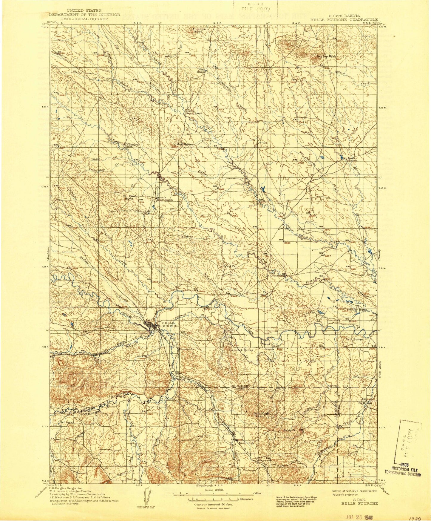
Historic 1907 Belle Fourche South Dakota 30'x30' Topo Map
Couldn't load pickup availability
Historical USGS topographic map of Belle Fourchein the states of South Dakota, Wyoming, Montana. Scale: 1:125000. Print size: 17" x 24"
This map was published in 1907 and is in the following counties: Butte, Lawrence, Meade.
The map contains contour lines, roads, rivers, towns, streams, and lakes. Printed on high-quality waterproof paper with UV fade-resistant inks.
Contains the following named places: Lonetree Creek, Crow Creek, South Indian Creek, Watson Draw, Antelope Butte, Arpan Lateral, Ash Creek, Baldy Peak, Beale Ranch, Belle Fourche National Wildlife Refuge, Belle Fourche Reservoir, Big Canyon, Big Creek, Bitter Creek, Bitty Creek, Boxelder Creek, Bull Creek, Bull Creek Butte, Bull Run, Butte Lateral, Carlson Ditch, Case Ditch, Center of Nation Roadside Park, Chicken Creek, Coe Ranch, Concordia Ditch, Cook Ditch, Cox Lake, Crooked Oak Creek, Crow Creek, Davis Ranch, Davis Ranch, Dry Creek, Fruitdale, Gilger Ranch, Gillette Lateral, Gregory Lateral, Guidinger Reservoir, Hanley Ranch, Haystack Buttes, Herber Ditch, Hilderbrand Creek, Hoeye Ranch, Horman Ranch, Indian Creek, Indian Creek Lateral, Inlet Canal, Johnson Lateral, Jones Ranch, Kinghorn Two Top Ranch, Kiplinger Ranch, Kiplinger Ranch, Korwelt Lateral, Laflemme Lateral, Lake Creek, Lietner Ranch, Lonetree Creek, Magpie Creek, Maloney Creek, Mary Larson Ranch, Mawer Lateral, McClure Ranch, Miller Butte, Mud Buttes, Mud Lake, Nisland, North Indian Creek, Oak Creek, Opossum Hollow, Orman Dam, Pearl Creek, Persche Ranch, Porcupine Creek, Redwater Canal, Roundout Creek, Ruben Creek, Saint Onge, Saint Onge Peak, Salt Creek, Short Creek, Slate Creek, Sorenson Lateral, Sourdough Flats, South Fork Owl Creek, Stinkingwater Creek, Susie Peak, Taylor Ranch, Thompson Ditch, Twin Buttes, Two Top Butte, Two Top Peak, Waite Ranch, Wildcat Creek, Willow Creek, Windy Flats, Winkler Ranch, Woodworth Ranch, Young Lateral, Delzer Number 3 Dam, Delzer Number 2 Dam, Black Hills RC and D Stabilization Dam, Delzer Number 1 Dam, School Land Dam, Guidinger Dam, Royal McKnight Dam Number 1, Royal McKnight Dam Number 2, Davis Ranch Number 1 Dam, Howard Schmele Dam Number 1, R L Cundy Dam Number 1, H G Horman Dam Number 1, George Merickson Dam Number 1, Spearfish Valley Ranch Dam, Belle Fourche Dam, Belle Fourche Diversion Dam, Pool Creek, Redwater River, Jolly Dump, Arpan, Hay Creek, Dry Creek, False Bottom Creek, Higgins Gulch, Polo Creek, Spearfish Creek, Spring Creek, Orman Dam, Michigan Placer Ground Mine, Belle Fourche, Butte County, Jolly, Middle Creek, City of Belle Fourche, Town of Fruitdale, Town of Nisland, Unorganized Territory of West Butte, Township of Minnesela, Township of Eflle Fourche, Grummit Canyon Creek, Township of Saint Onge, Lonetree Creek, Crow Creek, Ruben Creek, Hay Creek, Middle Creek, Grummit Canyon Creek, Lonetree Creek, Crow Creek, South Indian Creek, Watson Draw


