MyTopo
Historic 1901 Big Trees California 30'x30' Topo Map
Couldn't load pickup availability
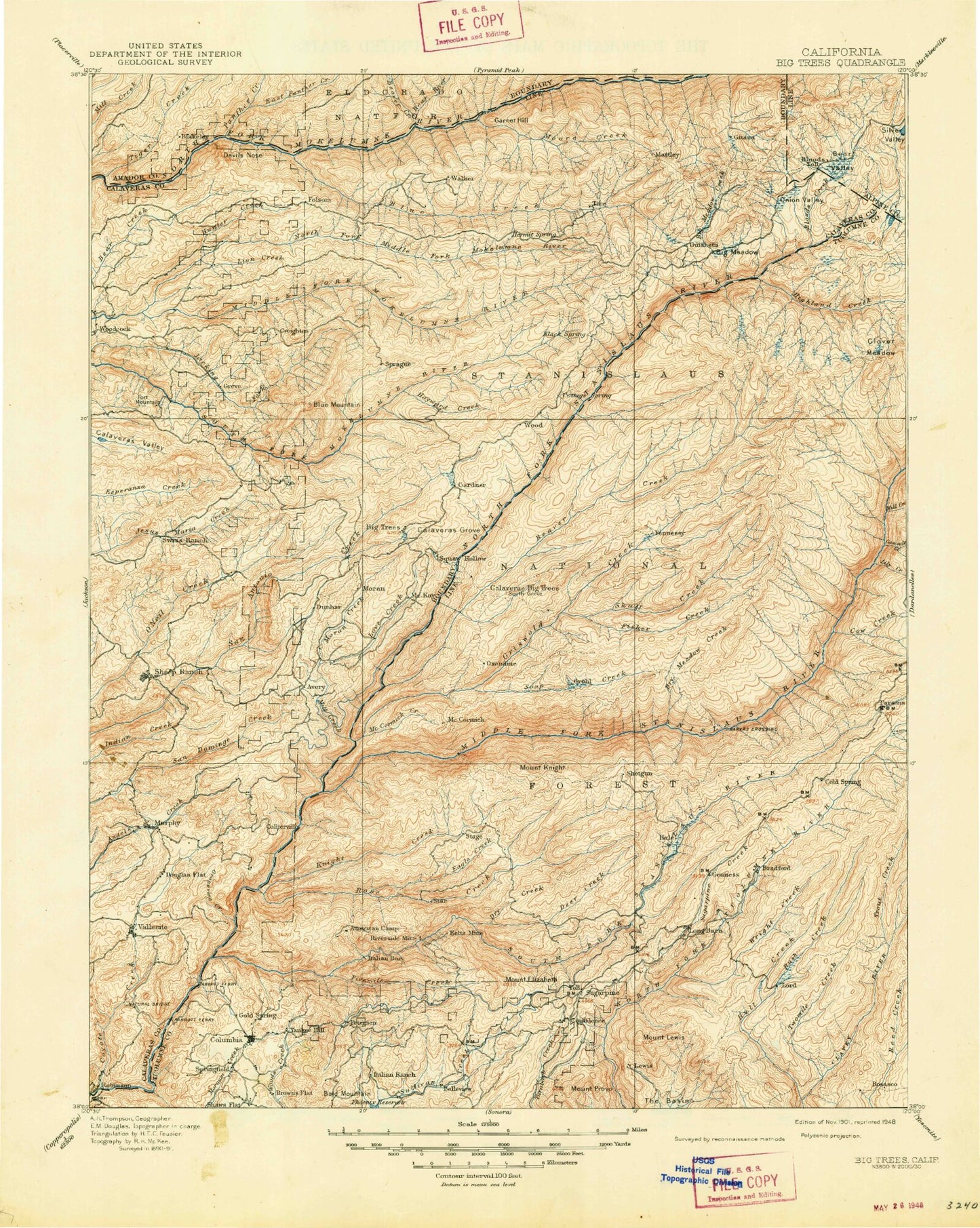
Historical USGS topographic map of Big Trees in the state of California. Scale: 1:125000. Print size: 17" x 24"
This map was published in 1901 and is in the following counties: Alpine, Amador, Calaveras, Tuolumne.
The map contains contour lines, roads, rivers, towns, streams, and lakes. Printed on high-quality waterproof paper with UV fade-resistant inks.
Contains the following named places: Afterbay Dam, Alpine Station, Avery, Avery Ranch, Bald Mountain, Bear Creek, Bear Lake, Bear Trap Basin, Beardsley Point, Big Meadow, Big Prather Meadow, Big Trees Creek, Bloods Creek, Bloods Meadow, Bloods Point, Bloods Ridge, Bloods Toll Station Historical Site, Brushy Hollow Creek, Bumblebee Creek, Calaveras Ranger Station, Camp, Camp Bray, Camp High Sierra, Camp Wolfeboro, Casa Madera Mine, Columbia Ditch, Cone Hill, Corona Mine, Corral Gulch, Corral Meadow, Corral Meadow, Cow Creek, Crandall Peak, Del Orto Camp, Doud Hill, Dry Meadow, Dry Meadow Creek, Dry Meadow Station, Duck Creek, Eagle Creek Camp, Elizabeth Peak, Emigrant Trail, Fair Oaks Mine, Flagpole Point, Forebay Lookout, Fraser Flat, Gardner Meadow, Geraldine Mine, Grant Ridge, Griswold Creek, Grohl Meadow, Grouse Valley, Grub Gulch, Hells Half Acre, Hells Kitchen, Hells Kitchen Vista, Helltack Base, Highland Creek, Hungry Flat, Hunter Reservoir, Jelmini Basin, Jelmini Creek, Johnnie Gulch, Leland Creek, Mount Lewis, Little Prather Meadow, Long Barn, Long Canyon, Lucky Strike Mine, Lyons Creek, Lyons Reservoir, Main Tuolumne Ditch, Marble Mountain, Mariane Gulch, Mattley Meadow, McCormick Creek, McCormick Lookout, McCormick Meadows, McKays Point, Meadowview Campground, Mill Creek, Moody Gap, Mud Lake, Odd Fellows High Sierra Park, Osborn Hill, Overflow Campground, Pedro Flat, Philadelphia Ditch, Phoenix Reservoir, Pigeon Gulch, Poison Canyon, Rattlesnake Hill, Red Cloud Mine, Rifle Mine, Ripperton Mine, Rushing Meadow, Sand Bar Flat Dam, Sand Flat, Sand Flat Campground, Sapps Hill, Sapps Meadow, Schoettgen Pass, Sierra Campground, Silver Creek, Silvertip Campground, Slick Rock, Stanislaus Grove Big Trees, Tuolumne State Game Refuge, Beaver Creek, Love Creek, Moran Creek, North Fork Stanislaus River, Soap Creek, Soap Creek Pass, Soulsbyville Ditch, Sourgrass Lake, Sourgrass Meadow, Stanislaus River Campground, Stanislaus Tunnel, Star Ridge, Strawberry Peak, Sugar Pine Gap, Sugarpine Creek, Summit Ridge, Table Mountain, The Basin, Thompson Meadow, Thunderbolt Mine, Tiger Creek Reservoir, Tunnel Creek, Utica Ditch, Wet Gulch, Wrights Creek, Beardsley Lake, Lion Lake, Utica Reservoir, Stanislaus National Forest, American Camp Lookout, American Camp Station, Bailey Ridge Forest Service Station, Bald Mountain, Bald Mountain, Basin Creek, Bassella Creek, Beartrap Meadow, Bellfout Canyon, Big Rattlesnake Creek, Black Wonder Mine, Blue Canyon, Blue Creek, Blue Hole, Bone Flat, Boston Flat, Boston Flat Gulch, Bourland Creek, Brown Boy Cabin, Brown Girl Cabin, Brownes Meadow, Brushy Creek, Bull Creek, Bummers Flat, Cabbage Patch, Calaveras Dome, Redhawk Lake, Camp Clavey, Camp Creek, Camp Curry, Camp Niagara, Camp Twentyfive Creek, Camp Twentyfour, Campoodle Creek, Canady Gulch, Carson Hill Mine, Cascade Creek, Cataract Gulch, Cave Country, Cedar Flat, Cedar Rock Lodge, Chile Gulch, Clarks Gulch, Contention Mine, Cottonwood Gulch, Cow Camp, Coyote Creek, Crane Creek, Creightons Meadow, Crystal Springs Mine, Cuneo Camp, Darby Knob, Darby Knob Firebreak, Dead Horse Flat, Deadman Bar, Deadman Flat, Deadman Gulch, Deadwood, Deep Gulch, Deer Creek, Deer Creek, Densmore Mine, Devils Canyon, Devils Nose, Douglas Flat, Dry Creek, Dry Creek, Duck Bar, Dunlap Gulch, Dutch Creek, Dutchess Mine, Eagle Creek, Elliots Cabin, Esperanza Valley, Experimental Gulch, Experimental Mine, Fahey Cabin, Fahey Meadow, Father and Son Mine, Faust Cabin, Fine Gold Mine, Fisher Creek, Fivemile Creek, Ford Mine, Forest Creek, Fort Mountain, Fox Gulch, French Camp, French Creek, French Gulch, Fricot Ditch, Funks Meadow, Garnet Hill, Gold King Mine, Gold Ridge Mine, Golden River Mine, Goodwin Ranch, Grant Mine, Grapevine Gulch