
MyTopo
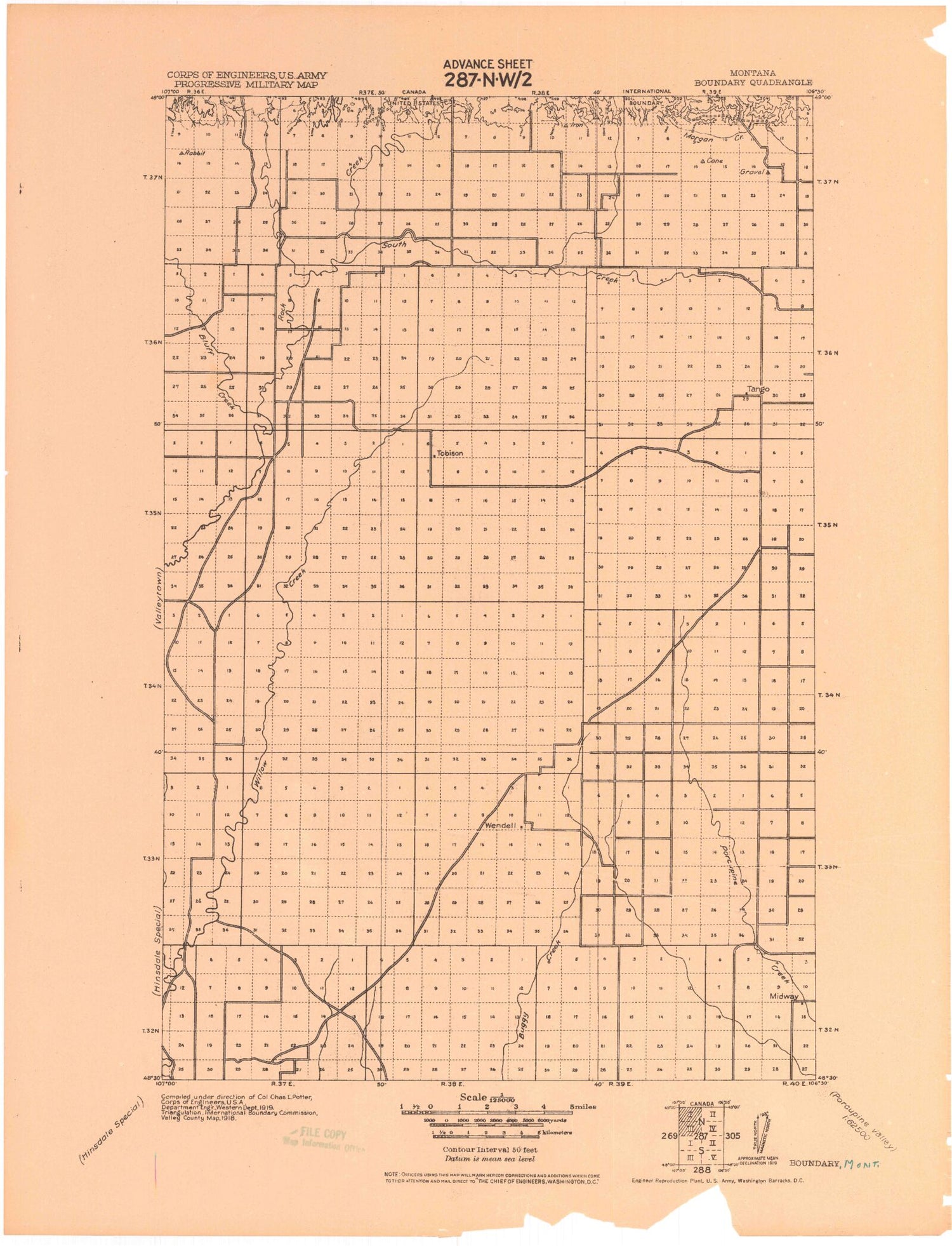
Historic 1919 Boundary Montana 30'x30' Topo Map
Couldn't load pickup availability
Historical USGS topographic map of Boundary in the state of Montana. Scale: 1:125000. Print size: 17" x 24"
This map was published in 1919 and is in the following counties: Valley.
The map contains contour lines, roads, rivers, towns, streams, and lakes. Printed on high-quality waterproof paper with UV fade-resistant inks.
Contains the following named places: McEachern Creek, LaBerge Creek, Deep Creek, Bitter Creek, Bluff Creek, Eagles Nest Coulee, South Fork Bitter Creek, Thoeny, West Fork Bitter Creek, Vr 64 Dam, VR-77 Dam, Hose Dam, Gay Dam, Corral Dam, Chambers Dam, Etchart Dam, Hunter Dam, Collins Dam, Sweo Dam, Blatter Dam, Frank Stuber Number 1 Dam, John Black Number 4 Dam, Canoe Dam, VR-57 Dam, Brown Cow Dam, Conehead Dam, Remulac Dam, VR-46 Dam, Buggy Reservoir Dam, North Fork South Creek, South Creek, Willow Creek, Coal Mine Hill, Deep Coulee, Coyote Coulee, Furlong Coulee, Paudois Coulee, Combs Coulee, Georges Pond, Pikes Peak, O'Juel Lake, Dahl Hills, Shaw Coulee, Dodge Reservoir, Kerr Cow Camp, Long Coulee, Lone Tree Coulee, Chisholm Creek, Wards Dam, Opheim Hills, Slaughter Coulee, Fox Coulee, Round Butte, Coal Mine Creek, Cow Coulee, Wild Horse Flat, Last Chance Reservoir, Chambers Coulee, Lighthouse Hill, Lake Elbert, First Coulee, Line Coulee, Horse Creek, Chambers Creek, Davison Coulee, Dolson Coulee, Big Coulee, Badland Coulee, Desert Claim Reservoir, Burnett Creek, East Fork Collins Creek, Book Reservoir, Black Reservoir, Emory Reservoir, Mary Black Reservoir, Bird Reservoir, Waste Reservoir, Don Reservoir, Abey Reservoir, Short Coulee, Blacktail Coulee, Spring Coulee, Coyote Coulee, Ash Coulee, Horse Coulee, Parson Coulee, Forsman Reservoir, West Fork Canyon Creek, Newberry Flat, Trapper Reservoir, Laundry Hill, Newberry Flat Reservoir, Anna Reservoir, Ada Reservoir, Mail Reservoir, Jack Reservoir, Antelope Pass, Ichpair Creek, Starbuck Coulee, Upper Ichpair Creek, Lake Grable, Dry Coulee, Riggin Coulee, Harry Coulee, West Fork Willow Creek, Collins Creek, Morgan Creek, Kansas Flats, Landre Hills, Hinsdale Division


