MyTopo
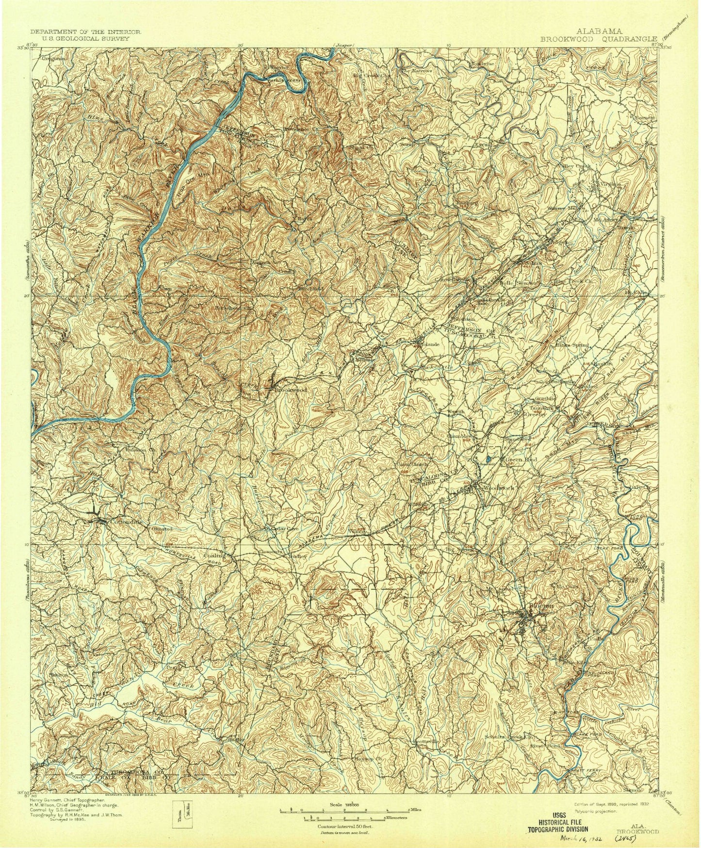
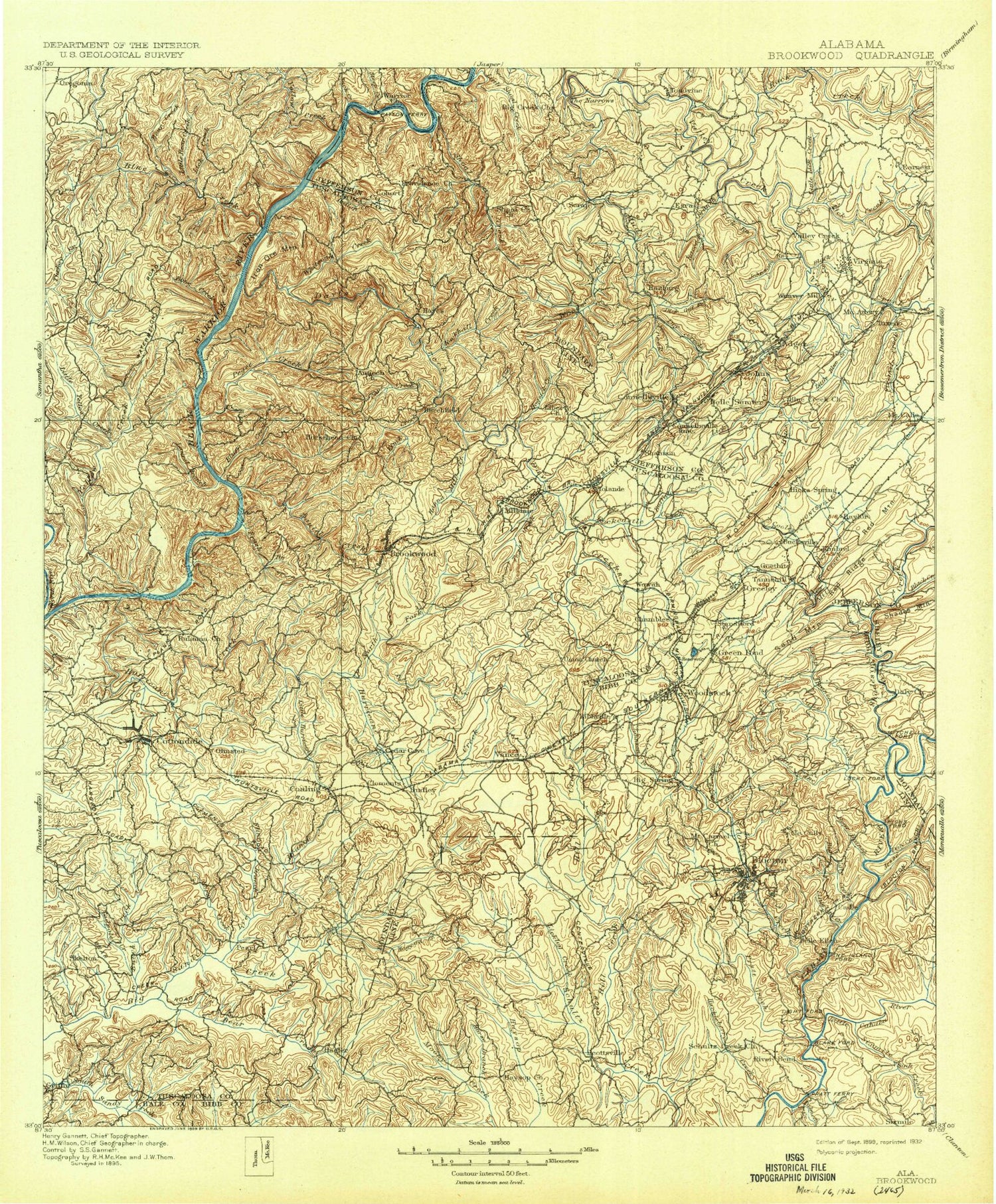
Historic 1899 Brookwood Alabama 30'x30' Topo Map
Couldn't load pickup availability
Historical USGS topographic map of Brookwood in the state of Alabama. Scale: 1:125000. Print size: 17" x 24"
This map was published in 1899 and is in the following counties: Bibb, Hale, Jefferson, Shelby, Tuscaloosa.
The map contains contour lines, roads, rivers, towns, streams, and lakes. Printed on high-quality waterproof paper with UV fade-resistant inks.
Contains the following named places: Island Branch, Abernant, Al Hollow, Allgood Branch, Alligator Creek, Bankhead Lake, Banks Creek, Bear Branch, Bear Branch, Bear Creek, Beatty Branch, Beaver Pond Creek, Bee Branch, Betty Hill, Big Branch, Big Creek, Big Indian Creek, Big Indian Creek Public Use Area, Big Mountain, Big Ugly Creek, Big Yellow Creek, Bishop Creek, Black Branch, Black Branch, Black Creek, Black Creek, Black Creek, Blacks Lake, Blanchet Branch, Blue Creek, Blue Creek Number 3 Mine, Blue Creek Public Use Area, Bluff Creek, Bradbottom Branch, Brimwood Lakes, Brookwood, Brown Branch, Brown Ridge, Brush Creek, Brushy Branch, Buffalo Creek, Bull City, Bulldog Bend, Burchfield, Burchfield Branch, Burchfield Store, Burke Branch, Burnt Bridge Branch, Burton Branch, Camp Booth, Camp Cherry Austin, Camp Creek, Camp Horne, Camp Nawaka, Cane Creek, Cane Creek, Canoe Branch, Cantrell Branch, Catfish Lake, Cedar Creek, Cely Ann Mountain, Charley Spring Branch, Clark Branch, Clarke Mountain, Clear Branch, Clifton Branch, Coaling, Cold Branch, Coleman Lakes, Concord, Concord Mine, Cooley Creek, Coon Hollow, Cottingham Creek, Cottondale, Cottondale Creek, Cox Spring Branch, Crystal Lake, Cypress Creek, Daley Creek, Daly Creek, Holt Damsite-Right Bank Public Use Area, Holt Damsite-Left Bank Public Use Area, Daniel Creek, Daniel Creek Public Use Area, Davis Creek, Deerlick Branch, Deerlick Creek Public Use Area, Devils Den Branch, Dick Gut Branch, Docray, Woodland Lake, Dream Lakes, Dry Branch, Dry Creek, Dry Ford Branch, East Brookwood, Echo Lake, Ezra, Fivemile Creek, Flat Creek, Flatrock Branch, Flint Hill, Fountain Hill, Fox Creek, Frierson Lake, Gaffney Branch, Gallant Branch, Galloway Branch, Garnsey, Gilbert Thomas Lake, Giles, Gin Branch, Lake Grace, Granny Harris Hollow, Graveyard Ridge, Gray Hill, Griffin Ridge, Grindstone Hollow, Halfmile Shoals, Hanna Mill Creek, Harrigan Branch, Lake Harris, Hebron, Herring Lake, Hill Creek, Hogsick Creek, Holland Branch, Holt, Holt Lake, Holt Lock and Dam, Horn Creek, Howton, Huckleberry Branch, Hurricane Creek, Iron Ore Mountain, Jackson Branch, Jess Branch, Jim Mack Branch, Jimy Creek, Jock Creek, Johns, Johnson Branch, Johnson Creek, Jordan Spring Branch, Kellerman, Kepple Creek, Laurel Branch, Lick Branch, Lick Branch, Lick Branch, Lick Creek, Lick Creek, Licklog Branch, Lilly Shoals, Linney Hollow, Little Bear Creek, Little Blue Creek, Little Cahaba River, Little Cane Creek, Little Creek, Little Flint Branch, Little Indian Creek, Little Lick Creek, Little Mountain, Little Ugly Creek, Little Yellow Creek, Lost Branch, Lowerytown, Lowetown, Lucille, Lye Branch, Martin Lake, Marvel, McAshan Mountain, McCalla, McCulley Creek, McDuff Spring Branch, Meetinghouse Branch, Middle Branch, Mill Creek, Million Dollar Lake Estates, Moore Brook, Moore Creek, Mothers Branch, Moulton Branch, Mud Creek, Nathan Branch, Nellie Branch, Lake Nicol, North Fork Hurricane Creek, North Johns, Norwood Gap, Oak Grove, Old Lock 15 Public Use Area, Old Lock 16 Public Use Area, Oldham Creek, Opossum Hollow, Oswall Creek, Lake Paradise, Pattersontown, Pauline Fletcher Camp, Pewter Creek, Pleasant Ridge, Pond Branch, Pratt Creek, Primitive Ridge, Prudes Creek, Pumpkin Ridge, Raccoon Branch, Redbud Hollow, Reed Arm Branch, Reno Lake, Rock Creek, Rock Quarry Landing Public Use Area, Rockcastle Creek, Rockhouse Hollow, Rockview Lake, Rocky Branch, Rocky Branch, Rocky Branch Public Use Area, Roscoe Spring Branch, Round Mountain, Sand Mountain, Sanders Creek, Savage Creek, Searles, Sellers Creek, Sexton Spring Branch, Sextons Bend, Shades Valley, Shady Grove Lakes, Shannon Mine, Shanty Branch, Smith Hill, Sniders Lake


