MyTopo
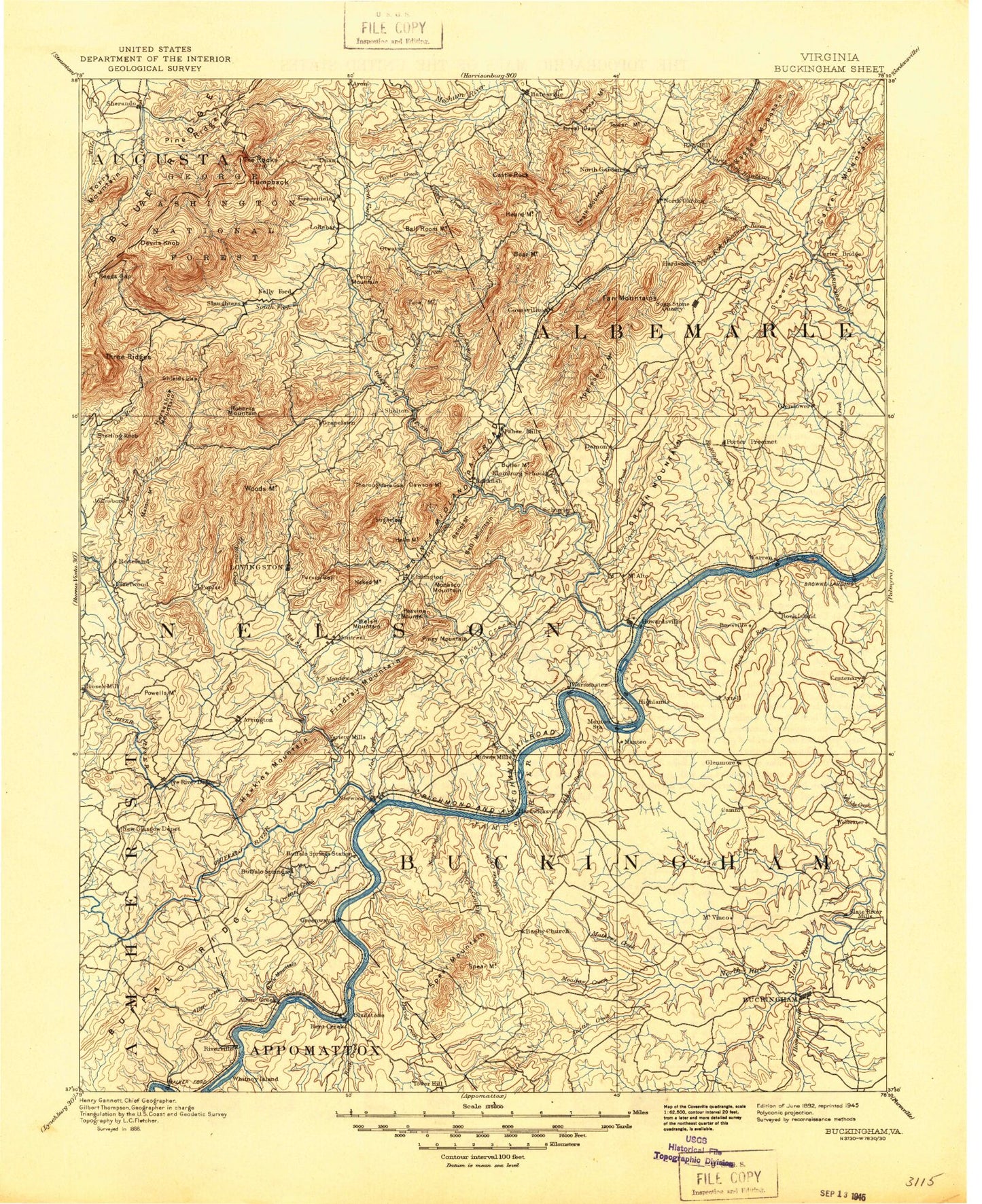
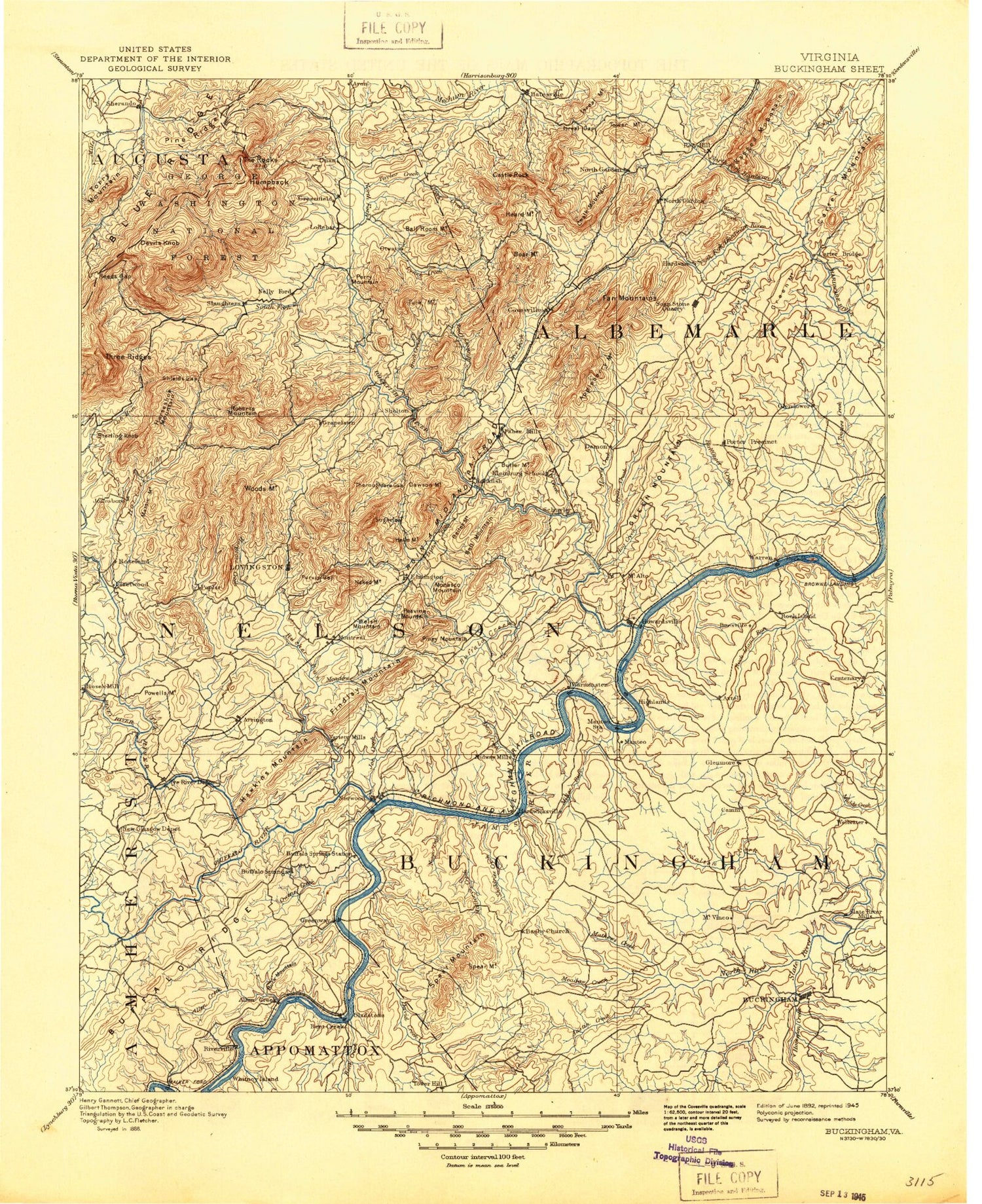
Historic 1892 Buckingham Virginia 30'x30' Topo Map
Couldn't load pickup availability
Historical USGS topographic map of Buckingham in the state of Virginia. Scale: 1:125000. Print size: 17" x 24"
This map was published in 1892 and is in the following counties: Albemarle, Amherst, Appomattox, Augusta, Buckingham, Nelson.
The map contains contour lines, roads, rivers, towns, streams, and lakes. Printed on high-quality waterproof paper with UV fade-resistant inks.
Contains the following named places: Fallsburg Creek, Alabama Creek, Allens Creek, Mount Alto, Amherst Wayside, Ammonett Branch, Ammonett Mountain, Appleberry Mountain, Arrington, Austin Creek, Bailey Mountain, Bailey Mountain, Ball Mountain, Ballinger Creek, Ballowe Creek, Bear Creek, Beard Branch, Beaver Branch, Beaver Creek, Bent Creek, Bible Ridge, Bishop Creek, Black Branch, Black Creek, Bobs Creek, Bolling Siding, Bradshaw Pond, Branch Creek, Briar Fork, Brick Kiln Branch, Brokenborough Creek, Brown Creek, Brush Mountain, Bryant Creek, Bryant Mountain, Buck Mountain, Buffalo Creek, Buffalo Ridge, Buffalo Station, Buford Island, Butler Mountain, Cabell Mountain, Camp Creek, Camp Viewmont, Canada Gap, Carter Creek, Carters Bridge, Castle Rock, Cedar Branch, Centenary, Christian Island, Christian Mill Creek, Colleen, Coon Hollow, Cooper Creek, Cove Creek, Cove Mountain, Craig Creek, Crews Branch, Crits Mountain, Cub Creek, Cunninghams Island, David Creek, Davis Pond, Dawson Mill, Diggs Mountain, Diggs Mountain, Dog Island, Dolittle Creek, Dry Branch, Dudley Mountain, Dutch Creek, Dyestone Ridge, Edes Hollow, Edwards Branch, Eppes Creek, Fish Pond, Forsip Creek, Frisby Branch, Glade Creek, Gleasons Gap, Goodloe Lake, Goosby Island, Grease Creek, Greasy Creek, Green Creek, Hammer Branch, Harris Branch, Harris Bridge, Harris Cove, Harris Creek, Harris Creek, Haw Branch, Hendersons Store, Hog Creek, Horsepen Lake, Horse Branch, Horse Mountain, Horsepen Creek, Iron Branch, Israel Gap, Ivy Creek, Ivy Creek, Jack Wrights Hollow, James River State Wildlife Management Area, Joe Creek, Joe Creek, Jones Creek, Jones Pond, Jumping Branch, Kidd Creek, Lick Creek, Licky Branch, Little Creek, Little Joe Creek, Little Piney Mountain, Little Rock Island Creek, Little Sycamore Creek, Long Branch, Long Branch, Mack Brandon Branch, Mallorys Creek, Martins Creek, Mathews Creek, Maxeys Creek, Mayo Creek, Meadow Creek, Meadow Creek, Mill Creek, Mill Mountain, Miller Creek, Monasco Mountain, Mosby Mountain, Mount Alto, Murphy Creek, Myndus, Negro Creek, Negro Den Hollow, Nero Creek, North Branch Brick Kiln Branch, North Fork Hardware River, North River, Mount Oliver, Owens Creek, Payne Pond, Paynes Millpond, Peavine Mountain, Peebles Mountain, Piney Mountain, Pitman Creek, Porters, Purvis Hollow, Ragland Lake, Ramsey Creek, Red Hill, Rich Cove, Ripley Creek, Roberts Mountain, Rock Castle Creek, Rock Island, Rock Island Creek, Rock Spring Mountain, Rockhouse Branch, Rocky Branch, Rocky Creek, Round Top, Ryan Creek, Sally Powell Hollow, Saunders Pond, Sawmill Creek, Scottsville Recreation Center, Sears Ridge, Seven Branch, Middle Branch North Fork Hardware River, Middle Branch Rocky Creek, South Branch North Fork Hardware River, Sharp Top, Sheepneck Branch, Shrader Lake, Simpson Hollow, Simpson Mountain, Slate River Mills, Slater Branch, Smith Islands, South Fork Hardware River, South Garden, Sowell Branch, Spears Mountain, Stadon Creek, Stevens Run, Stock Branch, Sugarloaf Mountain, Swan Creek, Swift Island, Sycamore Creek, Sycamore Island, Taylors Creek, Thomas Creek, Thomas Mountain, Thoroughfare Gap, Tower Hill, Troublesome Creek, Turner Mountain, Tye River, Union Hill Creek, Variety Mills, Walnut Branch, Walton Fork, Walton Lake, Warner Branch, Welsh Mountain, Wheeler Cove, White Oak Creek, Whiteside Branch, Willoughby Mountain, Wingfield Branch, Wolftrap Branch, Wreck Island, Wreck Island Creek, Axtell, Buffalo Springs, Camm, Dentons Corner, Eldridge Corner, Elma, Five Forks, Glenmore, Gordon Crossing, Grays Corner, Katrine, Keene, Kingswood, Mount Rush, New Glasgow, Piedmont, Poplar Flats


